Malibu Lagoon State Beach, State beach in Malibu, Los Angeles County, United States
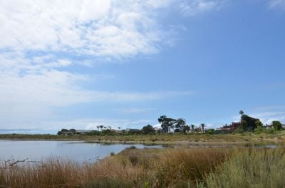
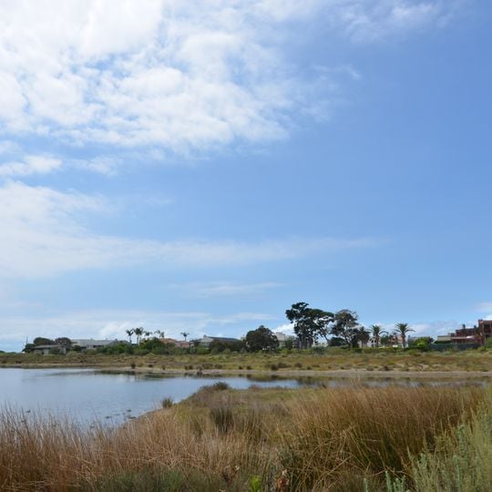
Malibu Lagoon State Beach is a 110-acre site where Malibu Creek meets the Pacific Ocean, forming an estuary behind a sandy bank. Reeds and grasses line the flat water, and houses, palms and evergreens stand beyond the far shore. The shoreline is usually triple-cornered from silt, sand and cobble building up at the creek mouth.
Malibu Creek's mouth formed the estuary that the Chumash village of Humaliwo used; the site lies within the Santa Monica Mountains National Recreation Area. California established the 110-acre state park in 1951, and on October 9, 2010 it was dedicated as the first World Surfing Reserve.
The name Malibu comes from the Chumash village of Humaliwo at the creek mouth, recorded by Spanish explorers; the lagoon and its surf break shaped Southern California beach culture from the 1960s. The site was dedicated as the first World Surfing Reserve on October 9, 2010, and surfers still ride the point break beside Malibu Pier.
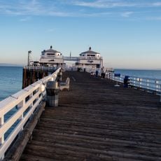
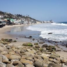
The 110-acre park lies at the mouth of Malibu Creek where it meets the Pacific, with the lagoon behind the sand and the surf breaks in front. Parking is paid along Pacific Coast Highway, and the beach sits next to Malibu Pier. Snowy Plovers nest on the sand and are protected, so stay out of marked nesting areas.
Malibu Lagoon was dedicated as the first World Surfing Reserve on October 9, 2010, a status tied to its three surf areas: First Point, Second Point and Third Point. On the south swells of late August and September, surfers can ride from Third Point all the way to Malibu Pier.
The community of curious travelers
AroundUs brings together thousands of curated places, local tips, and hidden gems, enriched daily by 94,588 contributors worldwide.