Chest opened
+${chestReward.xp} XP
Explorer
NOUVEAU ×${chestReward.collectible.quantity}
tapez pour fermer
Chest locked

Open chests in the app

Around Us is built for your phone — chests unlock when you walk, explore and capture nearby places.

Enable Location

We need your location to show you interesting places around you

Discover nearby places

Find interesting locations and hidden gems around you

Precise directions

Get accurate directions and distances to places

Your location is never shared with other users. It's only used when you tap the location button.

Log in to your account

Start exploring — it's free

Trusted by 72,881 travelers worldwide

Continue with Google
Continue with Apple
or

We will send you a code to connect

By continuing, you accept our Terms and Conditions and our Privacy Policy

Check your inbox

We've sent a pincode in your inbox. Please enter the code below.

Discussion Reviews Photo
23.5k Popularity

City Heights, Multicultural neighborhood in central San Diego, US.

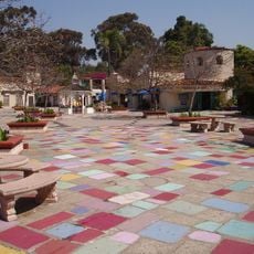
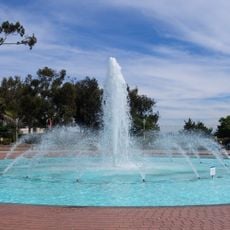
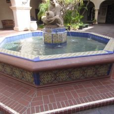
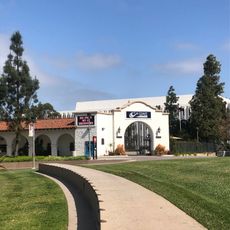
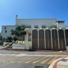
City Heights is a residential neighborhood in central San Diego with densely populated residential blocks interspersed with commercial streets and public spaces. The mix of housing and commerce shapes the appearance and layout of this district.

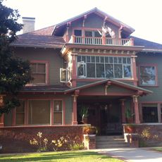
The area was founded in the 1880s and later received city status as East San Diego in 1912. This early settlement laid the foundation for the neighborhood's modern development.

Vietnamese, Somali, Cambodian, and Latin American communities shape this neighborhood through their restaurants, shops, and markets. The colorful array of international food and local businesses reflects the different cultures that live here together.

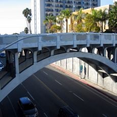
Several bus lines connect the neighborhood to downtown San Diego via University Avenue and El Cajon Boulevard. Visitors using public transportation can reach other parts of the city easily through these main transit corridors.

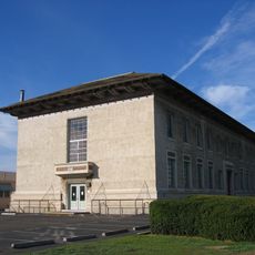
A major development project in the 1990s brought new police facilities and business infrastructure to the area. These investments shaped the neighborhood's current character.

The community of curious travelers

AroundUs brings together thousands of curated places, local tips, and hidden gems, enriched daily by 60,000 contributors worldwide.

Start exploring
Location
GPS coordinates
32.74000,-117.10000
Latest update
March 5, 2026 21:06
Around this place
Balboa Park
United States of America

Balboa Park

4.3 km
Beth Sarim
United States of America

Beth Sarim

3.5 km
San Diego Museum of Art
United States of America

San Diego Museum of Art

4.8 km
San Diego Natural History Museum
United States of America

San Diego Natural History Museum

4.5 km
Zoro Garden Nudist Colony
United States of America

Zoro Garden Nudist Colony

4.6 km
San Diego Model Railroad Museum
United States of America

San Diego Model Railroad Museum

4.7 km
Timken Museum of Art
United States of America

Timken Museum of Art

4.7 km
Reuben H. Fleet Science Center
United States of America

Reuben H. Fleet Science Center

4.5 km
Balboa Park Gardens
United States of America

Balboa Park Gardens

4.3 km
Japanese Friendship Garden
United States of America

Japanese Friendship Garden

4.8 km
Dharma Bum Temple
United States of America

Dharma Bum Temple

4.8 km
Museum of Photographic Arts
United States of America

Museum of Photographic Arts

4.6 km
San Diego History Center
United States of America

San Diego History Center

4.6 km
Botanical Building
United States of America

Botanical Building

4.7 km
Switzer Canyon
United States of America

Switzer Canyon

2.9 km
Spanish Village Art Center
United States of America

Spanish Village Art Center

4.5 km
Bea Evenson Fountain
United States of America

Bea Evenson Fountain

4.5 km
Dryden Historic District
United States of America

Dryden Historic District

3.2 km
Shirley Ann Place
United States of America

Shirley Ann Place

4.3 km
Woman of Tehuantepec
United States of America

Woman of Tehuantepec

4.8 km
Christian Fellowship Congregational Church
United States of America

Christian Fellowship Congregational Church

3.2 km
Georgia Street Bridge-Caltrans Bridge
United States of America

Georgia Street Bridge-Caltrans Bridge

4.3 km
Puente de la Calle Georgia-Puente Caltrans
United States of America

Puente de la Calle Georgia-Puente Caltrans

4.3 km
Teacher Training School Building-San Diego State Normal School
United States of America

Teacher Training School Building-San Diego State Normal School

4.7 km
Casa Alfred Haines
United States of America

Casa Alfred Haines

4.7 km
Cal Coast Credit Union Open Air Theatre
United States of America

Cal Coast Credit Union Open Air Theatre

4.7 km
Ken Cinema
United States of America

Ken Cinema

2.7 km
ENS Annex
United States of America

ENS Annex

4.6 km
Show the full map
Reviews
Share your experience

No review yet

Discussions
Start a discussion...

No discussion yet

« City Heights - Multicultural neighborhood in central San Diego, US » is provided by Around Us (aroundus.com). Images and texts are derived from Wikimedia project under a Creative Commons license. You are allowed to copy, distribute, and modify copies of this page, under the conditions set by the license, as long as this note is clearly visible.

Discover hidden gems everywhere you go!

From secret cafés to breathtaking viewpoints, skip the crowded tourist spots and find places that match your style. Our app makes it easy with voice search, smart filtering, route optimization, and insider tips from travelers worldwide. Download now for the complete mobile experience.

Around Us App Screenshot

A unique approach to discovering new places

Le Figaro

All the places worth exploring

France Info

A tailor-made excursion in just a few clicks

20 Minutes

Around Us
Travel Guide & Maps
Download

Send to your phone

QR Code
1

Open the camera app on your mobile.

2

Point at the QR code with your camera. A notification will appear.

3

Tap the notification to open the link.