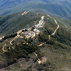
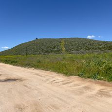
Los Pinos Peak, Mountain summit in Orange County, United States.
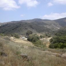
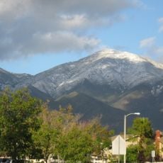
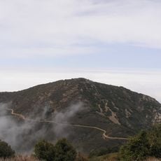
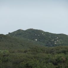
Los Pinos Peak is a 4,455-foot (1,358 m) summit in the Santa Ana Mountains of Orange County, about 8 miles east of Rancho Santa Margarita. It is the southernmost peak above 4,000 feet in the range and rises above the main crest, though its topographic prominence is only about 610 feet. The summit is in Cleveland National Forest and is reached by Main Divide Road, the Trabuco Canyon Trail, or the Los Pinos Peak Trail from Hot Springs Canyon.
Los Pinos Peak lies in the Santa Ana Mountains within Cleveland National Forest, about 8 miles east of Rancho Santa Margarita. The name, Spanish for "the pines," appears on maps of the range, and the summit is the southernmost point above 4,000 feet in the Santa Anas. Its fire-road access reflects the Forest Service's ridge routes across the Main Divide.
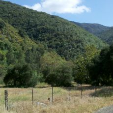
The name Los Pinos, Spanish for "the pines", refers to the conifers on its slopes. Three routes reach the summit: the Main Divide fire road through Cleveland National Forest, the Trabuco Canyon Trail from near Trabuco Creek, and the Los Pinos Peak Trail from Hot Springs Canyon near the Ortega Highway.
The summit can be reached via hiking trails that vary in length and difficulty depending on the route chosen. Visitors should bring plenty of water and sun protection, as the exposed ridgeline offers little shade.
Los Pinos Peak is the southernmost summit above 4,000 feet in the Santa Ana Mountains, yet its topographic prominence is only about 610 feet. It rises conspicuously above the main crest and is visible from much of southern Orange County.
The community of curious travelers
AroundUs brings together thousands of curated places, local tips, and hidden gems, enriched daily by 92,784 contributors worldwide.