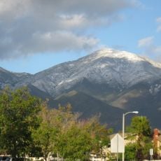
San Mateo Peak, Mountain summit in Riverside County, United States.
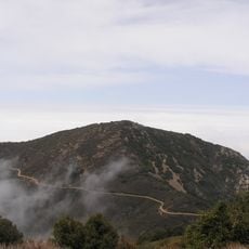
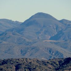
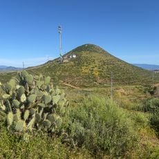
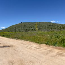
San Mateo Peak is a mountain summit in the Elsinore Mountains that forms the western boundary of a ridge extending toward Morrell Canyon. This formation rises to approximately 3,591 feet and provides multiple hiking access points across its terrain in Riverside County.
The peak received its name through the Sierra Club Lower Peaks Committee, with Ken Croker playing a key role after spending two decades maintaining trails in the Santa Ana Mountains. This recognition from the climbing community reflects the summit's importance as a landmark in this mountain region.
The name San Mateo Peak is unofficial, coined by Ken Croker for the Sierra Club Lower Peaks Committee guide; he maintained trails in the Santa Ana Mountains with Sierra Club volunteers for 20 years. The summit remains officially nameless even though it is the highest point in the Elsinore Mountains, above the named Elsinore Peak at 3,536 feet.
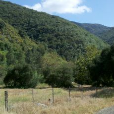
No maintained trail reaches the summit; the peak is officially nameless and lies at the western end of the ridge from Elsinore Peak to Morrell Canyon, south and west of the Morrell Potrero. Approach routes follow the ridge and canyon faces, so plan for route-finding rather than a marked path. San Mateo Creek begins at about 2,800 feet on the western face.
San Mateo Creek rises at about 2,800 feet on the peak's western face, while a fork of Morrell Canyon Creek — a tributary of San Juan Creek — begins on the northeast face. Several unnamed arroyos also drop west into that same creek, and one on the southwest face feeds San Mateo Creek.
The community of curious travelers
AroundUs brings together thousands of curated places, local tips, and hidden gems, enriched daily by 92,767 contributors worldwide.