Arizona State Route 101, Highway loop in Phoenix metropolitan area, United States
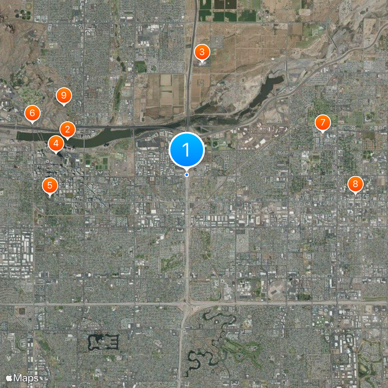
Arizona State Route 101 is a loop highway around Phoenix spanning about 61 miles and connecting major suburbs including Tolleson, Glendale, Peoria, Scottsdale, Mesa, Tempe, and Chandler. It comprises three separate sections that together form a continuous network serving the entire metropolitan area.
The highway emerged from a transportation project approved by voters in 1985, with construction beginning in the late 1980s. The entire project achieved completion in 2002.
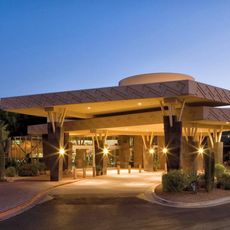
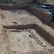
The road passes through lands significant to several Native American communities, particularly the Salt River Pima-Maricopa people. This corridor shows how modern infrastructure coexists with traditional territories and their ongoing presence in the region.
The highway features high-occupancy vehicle lanes running its entire length that help reduce congestion during rush hours. Expect heavier traffic during morning and evening commute times, particularly near major commercial and employment centers.
The route is divided into three distinct sections, each with its own name: the Agua Fria Freeway on the west, the Pima Freeway through Scottsdale, and the Price Freeway on the east. This division reflects different construction phases and the way locals identify different portions of their daily commute.
The community of curious travelers
AroundUs brings together thousands of curated places, local tips, and hidden gems, enriched daily by 60,000 contributors worldwide.