Agua Prieta

Log in to your account

AroundUs is a community-driven map of interesting places, built by curious explorers like you. It grows with every review, story, and photo you share.
Connect to save your favorite spots, contribute locations, and create personalized routes.
By continuing, you accept our Terms and Conditions and our Privacy Policy
Add to collection
Map
Suggest a change
Share

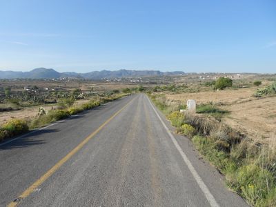
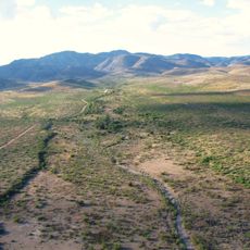
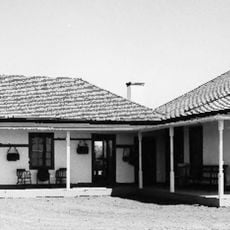
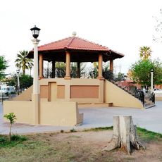
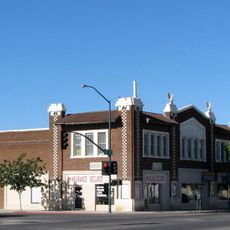
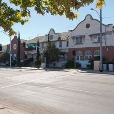
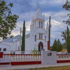
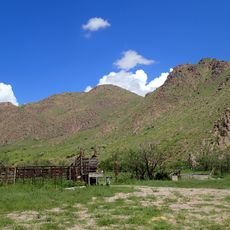
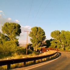
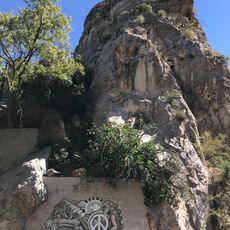
Agua Prieta, municipality of Sonora, Mexico

GPS coordinates: 31.02546,-109.04212

Latest update: March 18, 2025 06:28

Around this place
Show the full map
Skeleton Canyon
United States of America

Skeleton Canyon

62.8 km
Gadsden Hotel
United States of America

Gadsden Hotel

60.4 km
Chiricahua Peak
United States of America

Chiricahua Peak

94.3 km
San Bernardino Ranch
United States of America

San Bernardino Ranch

41.4 km
San Bernardino National Wildlife Refuge
United States of America

San Bernardino National Wildlife Refuge

41.5 km
Leslie Canyon National Wildlife Refuge
United States of America

Leslie Canyon National Wildlife Refuge

77 km
Canyon de Guadalupe
Mexico

Canyon de Guadalupe

49.4 km
Bisbee Historic District
United States of America

Bisbee Historic District

95.1 km
Rucker Canyon
United States of America

Rucker Canyon

89 km
Grand Theatre
United States of America

Grand Theatre

60.8 km
Phelps Dodge General Office Building
United States of America

Phelps Dodge General Office Building

95.1 km
St. Patrick's Roman Catholic Church
United States of America

St. Patrick's Roman Catholic Church

95.9 km
Double Adobe Site
United States of America

Double Adobe Site

59.1 km
Plaza Azueta
Mexico

Plaza Azueta

59.9 km
Douglas Historic District
United States of America

Douglas Historic District

60.3 km
El Paso and Southwestern Railroad YMCA
United States of America

El Paso and Southwestern Railroad YMCA

60.5 km
Bisbee Residential Historic District
United States of America

Bisbee Residential Historic District

96 km
Bisbee Woman's Club Clubhouse
United States of America

Bisbee Woman's Club Clubhouse

95.2 km
United States Post Office and Customs House–Douglas Main
United States of America

United States Post Office and Customs House–Douglas Main

60.2 km
Temple of Our Lady of Assumption of Mary
Mexico

Temple of Our Lady of Assumption of Mary

75.3 km
Temple of Saint Michael the Archangel
Mexico

Temple of Saint Michael the Archangel

98.8 km
Temple of Saint Michael the Archangel
Mexico

Temple of Saint Michael the Archangel

61.5 km
Douglas Residential Historic District
United States of America

Douglas Residential Historic District

59.8 km
Chiricahua Desert Museum
United States of America

Chiricahua Desert Museum

94.1 km
Monte Vista Lookout Cabin
United States of America

Monte Vista Lookout Cabin

92.7 km
Horseshoe Canyon
United States of America

Horseshoe Canyon

83.7 km
Hereford Road Bridge
United States of America

Hereford Road Bridge

111.4 km
Castle Rock
United States of America

Castle Rock

95.4 km
Show the full map

Reviews

Visited this place? Tap the stars to rate it and share your experience / photos with the community! Try now! You can cancel it anytime.

« Agua Prieta: municipality of Sonora, Mexico » is provided by Around Us (aroundus.com). Images and texts are derived from Wikimedia project under a Creative Commons license. You are allowed to copy, distribute, and modify copies of this page, under the conditions set by the license, as long as this note is clearly visible.

Discover hidden gems everywhere you go!

From secret cafés to breathtaking viewpoints, skip the crowded tourist spots and find places that match your style. Our app makes it easy with voice search, smart filtering, route optimization, and insider tips from travelers worldwide. Download now for the complete mobile experience.

Around Us App Screenshot

A unique approach to discovering new places

Le Figaro

All the places worth exploring

France Info

A tailor-made excursion in just a few clicks

20 Minutes