Chest opened
+${chestReward.xp} XP
Explorer
NOUVEAU ×${chestReward.collectible.quantity}
tapez pour fermer

See the monuments around you in AR Open chests in the app

Around Us is built for your phone — point your camera at the streets and discover the monuments and places around you in augmented reality. Around Us is built for your phone — chests unlock when you walk, explore and capture nearby places.

Enable Location

We need your location to show you interesting places around you

Discover nearby places

Find interesting locations and hidden gems around you

Precise directions

Get accurate directions and distances to places

Your location is never shared with other users. It's only used when you tap the location button.

Summerhaven

Log in to your account

Start exploring — it's free

Trusted by 86,302 travelers worldwide

Continue with Google
Continue with Apple
or

We will send you a code to connect

By continuing, you accept our Terms and Conditions and our Privacy Policy

Check your inbox

We've sent a pincode in your inbox. Please enter the code below.

Discussion Reviews 1 Photos
14.1k Popularity

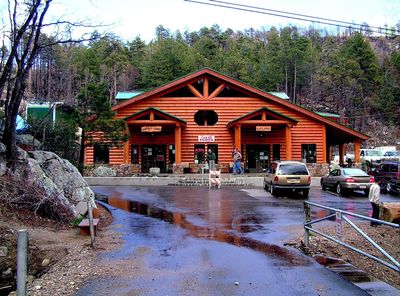
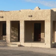
Summerhaven, Mountain community in Santa Catalina Mountains, Arizona, United States

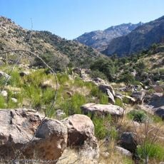
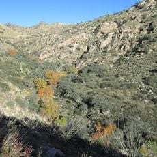
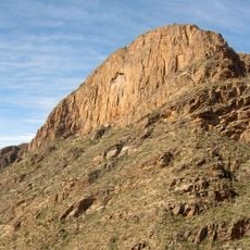
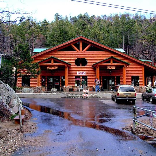
Summerhaven is a mountain community nestled in the Santa Catalina Mountains north of Tucson, sitting at elevations between 7,600 and 8,200 feet amid pine forests. The area contains a general store and several restaurants, though visitors won't find automotive services or gas stations within the community.

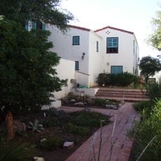
The U.S. Army established a military outpost in this area during the 1870s and 1880s to defend against Apache raids. Early education arrived through the Ransier School in Carter Canyon, with one of its buildings dating back to 1912, showing how the settlement developed over time.

The community's name reflects its role as a summer escape from Tucson's heat, and locals and visitors embrace the slower pace of mountain living. You'll notice families gathering at the general store and restaurants, which serve as gathering places where people connect over meals and local news.

Weather can change quickly at this elevation, and it gets noticeably cooler than Tucson, so bring layers and warm clothing. Since there are no gas stations here, arrive with a full tank and gather supplies before heading up the mountain.

In the early 1900s, F.E.A. Kimball constructed a six-hole golf course at 7,800 feet elevation, which was the world's highest at the time. This unusual golf facility reveals how residents creatively adapted their hobbies to life in this remote mountain setting.

The community of curious travelers

AroundUs brings together thousands of curated places, local tips, and hidden gems, enriched daily by 60,000 contributors worldwide.
Start exploring
Location
GPS coordinates
32.43830,-110.75900
Latest update
September 11, 2026 23:35
Around this place
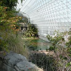
Biosphere 2
United States of America

Biosphere 2

11 mi
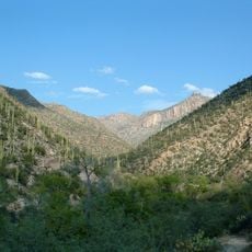
Sabino Canyon
United States of America

Sabino Canyon

9.1 mi
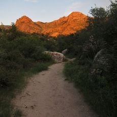
Catalina State Park
United States of America

Catalina State Park

8.5 mi
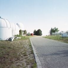
Mount Lemmon Observatory
United States of America

Mount Lemmon Observatory

1.8 mi
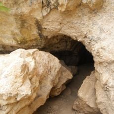
Peppersauce Cave
United States of America

Peppersauce Cave

6.7 mi
DeGrazia Gallery in the Sun Historic District
United States of America

DeGrazia Gallery in the Sun Historic District

11.2 mi
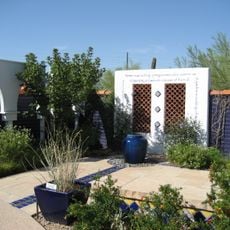
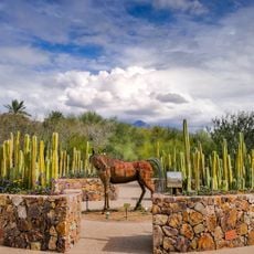
Tohono Chul
United States of America

Tohono Chul

14.7 mi
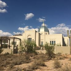
Tucson Arizona Temple
United States of America

Tucson Arizona Temple

13.1 mi
Oracle State Park
United States of America

Oracle State Park

14.9 mi
United States of America

Bear Canyon

8.6 mi
Acadia Ranch
United States of America

Acadia Ranch

11.9 mi
Catalina Station
United States of America

Catalina Station

2.1 mi
Tohono Chul | Gardens, Galleries, and Bistro
United States of America

Tohono Chul | Gardens, Galleries, and Bistro

14.7 mi
Golf 'n Stuff
United States of America

Golf 'n Stuff

14.4 mi
Agua Caliente Regional Park
United States of America

Agua Caliente Regional Park

10.9 mi
Thimble Peak
United States of America

Thimble Peak

7 mi
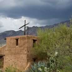
La Casa del High Jinks
United States of America

La Casa del High Jinks

9.3 mi
Romero Canyon
United States of America

Romero Canyon

7.5 mi
Molino Canyon
United States of America

Molino Canyon

8.4 mi
Pusch Ridge Wilderness Area
United States of America

Pusch Ridge Wilderness Area

6.3 mi
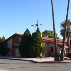
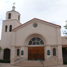
St. Philip's in the Hills Episcopal Church
United States of America

St. Philip's in the Hills Episcopal Church

14.9 mi
The Mini Time Machine Museum
United States of America

The Mini Time Machine Museum

14.4 mi
Lowell Ranger Station
United States of America

Lowell Ranger Station

9.5 mi
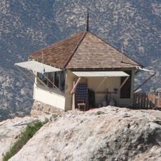
Lemmon Rock Lookout House
United States of America

Lemmon Rock Lookout House

1.8 mi
SaddleBrooke One
United States of America

SaddleBrooke One

9.7 mi
Saint Cyril of Alexandria church in Tucson
United States of America

Saint Cyril of Alexandria church in Tucson

15.8 mi
Church of Saint Thomas the Apostle in Tucson
United States of America

Church of Saint Thomas the Apostle in Tucson

12.8 mi
Kannally Ranch
United States of America

Kannally Ranch

11.9 mi
Show the full map
Reviews
Share your experience

No review yet

Discussions
Start a discussion...

No discussion yet

« Summerhaven - Mountain community in Santa Catalina Mountains, Arizona, United States » is provided by Around Us (aroundus.com). Images and texts are derived from Wikimedia project under a Creative Commons license. You are allowed to copy, distribute, and modify copies of this page, under the conditions set by the license, as long as this note is clearly visible.

Discover hidden gems everywhere you go!

From secret cafés to breathtaking viewpoints, skip the crowded tourist spots and find places that match your style. Our app makes it easy with voice search, smart filtering, route optimization, and insider tips from travelers worldwide. Download now for the complete mobile experience.
Around Us App Screenshot

A unique approach to discovering new places

Le Figaro

All the places worth exploring

France Info

A tailor-made excursion in just a few clicks

20 Minutes

Around Us
Travel Guide & Maps
Download

Send to your phone

QR Code
1

Open the camera app on your mobile.

2

Point at the QR code with your camera. A notification will appear.

3

Tap the notification to open the link.