Chest opened
+${chestReward.xp} XP
Explorer
NOUVEAU ×${chestReward.collectible.quantity}
tapez pour fermer
Chest locked

Open chests in the app

Around Us is built for your phone — chests unlock when you walk, explore and capture nearby places.

Enable Location

We need your location to show you interesting places around you

Discover nearby places

Find interesting locations and hidden gems around you

Precise directions

Get accurate directions and distances to places

Your location is never shared with other users. It's only used when you tap the location button.

Gila National Forest

Log in to your account

Start exploring — it's free

Trusted by 72,978 travelers worldwide

Continue with Google
Continue with Apple
or

We will send you a code to connect

By continuing, you accept our Terms and Conditions and our Privacy Policy

Check your inbox

We've sent a pincode in your inbox. Please enter the code below.

Discussion Reviews 1 Photos
23k Popularity

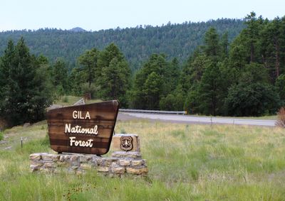
Gila National Forest, National forest in southwestern New Mexico, US

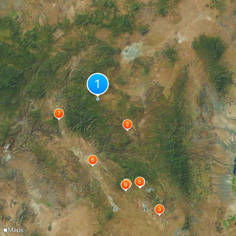
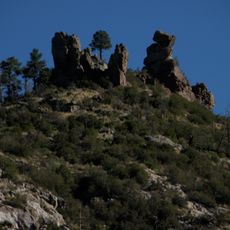
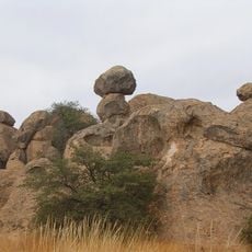
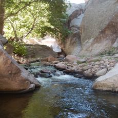
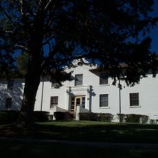
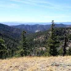
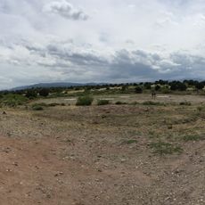
The Gila National Forest is a vast forest area in southwestern New Mexico covering diverse landscapes and terrain. It stretches from desert regions to mountain peaks above 10,000 feet, carved by rivers and dotted with canyons and woodland.

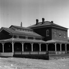
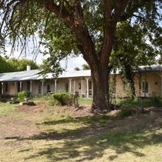
The area was home to the Mogollon people, who built cliff dwellings here until the 13th century. The forest was established as a protected area in 1905 to safeguard these lands.

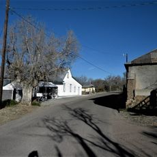
Apache peoples, especially the Chiricahua, shaped this land through hunting and gathering practices that lasted generations. Today you can still sense this connection when walking through the forest's remote canyons and grasslands.

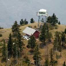
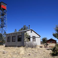
The forest has numerous campgrounds, picnic areas, and hiking trails spread throughout for different ability levels. Spring and fall offer the most pleasant conditions for exploration, with comfortable temperatures and fewer crowds.

A section of the forest was designated in 1924 as the world's first protected wilderness area and remains a model for conservation worldwide. This area is known for its pristine condition, where visitors encounter completely remote and undeveloped terrain.

The community of curious travelers

AroundUs brings together thousands of curated places, local tips, and hidden gems, enriched daily by 60,000 contributors worldwide.

Start exploring
Location
Location
Location
Location
Location
Inception
July 21, 1905
Operator
United States Forest Service
GPS coordinates
33.46667,-108.53333
Latest update
December 20, 2025 15:11
Around this place
Gila Wilderness
United States of America

Gila Wilderness

35.9 km
City of Rocks State Park
United States of America

City of Rocks State Park

110.6 km
Fort Bayard
United States of America

Fort Bayard

82.8 km
Fort Bayard National Cemetery
United States of America

Fort Bayard National Cemetery

82.3 km
L.C. Ranch Headquarters
United States of America

L.C. Ranch Headquarters

56.1 km
Whitewater Creek
United States of America

Whitewater Creek

36.9 km
Silver City Woman's Club
United States of America

Silver City Woman's Club

79.9 km
Fleming Hall
United States of America

Fleming Hall

80.3 km
Silver City Historic District
United States of America

Silver City Historic District

80.9 km
Bullard Hotel
United States of America

Bullard Hotel

81.2 km
Silver City Water Works Building
United States of America

Silver City Water Works Building

79.7 km
Bowden Hall
United States of America

Bowden Hall

80.4 km
Mogollon Baldy Lookout Cabin
United States of America

Mogollon Baldy Lookout Cabin

22.4 km
H. B. Ailman House
United States of America

H. B. Ailman House

81.1 km
Hillsboro Peak Lookout Tower and Cabin
United States of America

Hillsboro Peak Lookout Tower and Cabin

90.6 km
San Lorenzo Historic District
United States of America

San Lorenzo Historic District

92.8 km
Light Hall
United States of America

Light Hall

80.3 km
Chihuahua Hill Historic District
United States of America

Chihuahua Hill Historic District

81.4 km
Ritch Hall
United States of America

Ritch Hall

80.4 km
Graham Gymnasium
United States of America

Graham Gymnasium

80.2 km
Silver CIty Museum
United States of America

Silver CIty Museum

81.1 km
Gallo Mountains
United States of America

Gallo Mountains

68.1 km
Cosmic Campground
United States of America

Cosmic Campground

36.2 km
Gila Cliff Dwellings Bookstore Western National Parks Association
United States of America

Gila Cliff Dwellings Bookstore Western National Parks Association

36.3 km
Western New Mexico University Museum
United States of America

Western New Mexico University Museum

80.3 km
Mimbres Heritage Cultural Center
United States of America

Mimbres Heritage Cultural Center

87.5 km
Mogollon Baldy Lookout
United States of America

Mogollon Baldy Lookout

22.5 km
St. Mary's Academy Historic District
United States of America

St. Mary's Academy Historic District

79.5 km
Show the full map
Reviews
Share your experience

No review yet

Discussions
Start a discussion...

No discussion yet

« Gila National Forest - National forest in southwestern New Mexico, US » is provided by Around Us (aroundus.com). Images and texts are derived from Wikimedia project under a Creative Commons license. You are allowed to copy, distribute, and modify copies of this page, under the conditions set by the license, as long as this note is clearly visible.

Discover hidden gems everywhere you go!

From secret cafés to breathtaking viewpoints, skip the crowded tourist spots and find places that match your style. Our app makes it easy with voice search, smart filtering, route optimization, and insider tips from travelers worldwide. Download now for the complete mobile experience.

Around Us App Screenshot

A unique approach to discovering new places

Le Figaro

All the places worth exploring

France Info

A tailor-made excursion in just a few clicks

20 Minutes

Around Us
Travel Guide & Maps
Download

Send to your phone

QR Code
1

Open the camera app on your mobile.

2

Point at the QR code with your camera. A notification will appear.

3

Tap the notification to open the link.