Catron County

Log in to your account

AroundUs is a community-driven map of interesting places, built by curious explorers like you. It grows with every review, story, and photo you share.
Connect to save your favorite spots, contribute locations, and create personalized routes.
By continuing, you accept our Terms and Conditions and our Privacy Policy
Add to collection
Map
Suggest a change
Share

Catron County, Administrative county in southwestern New Mexico, United States.

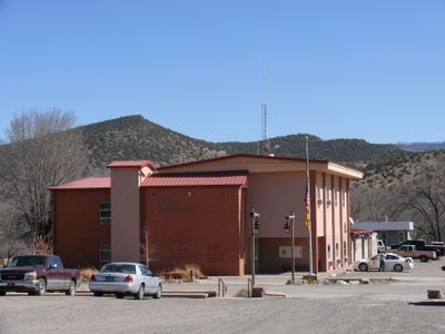
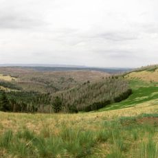
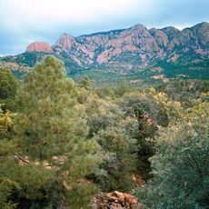
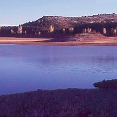
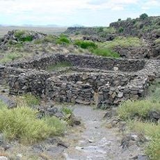
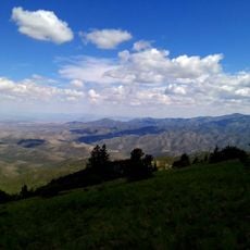
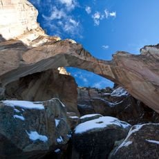
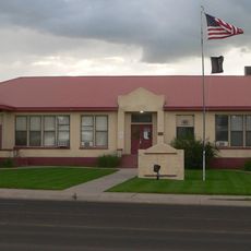
Catron County is an administrative division in southwestern New Mexico that covers a mountainous landscape. The area encompasses large sections of the Apache and Gila National Forests along with small urban areas centered on Reserve, the county seat.

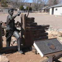
The county was founded in 1921 and named after Thomas B. Catron, a prominent attorney and politician from Santa Fe. This naming reflected Catron's major role in early New Mexico statehood affairs.

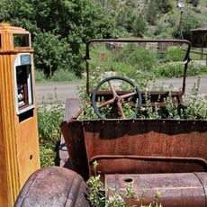
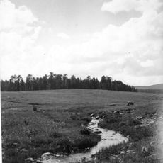
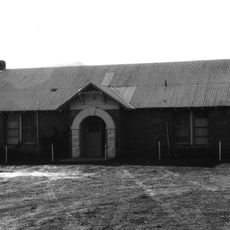
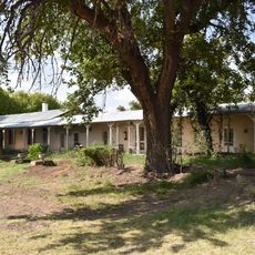
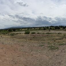
The valley communities here maintain deep ties to ranching traditions and outdoor living that shape daily routines. People gather around the small towns, where lifestyle reflects decades of connection to the land and mountains.

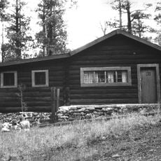
The area offers basic lodging in Reserve and some supplies, but long distances between destinations are typical. Visitors should bring adequate provisions and consider four-wheel drive vehicles, especially for accessing back roads.

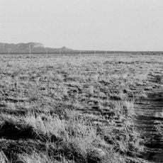
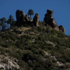
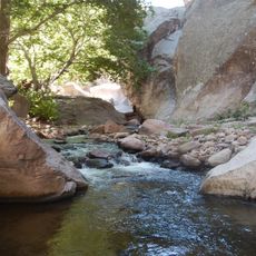
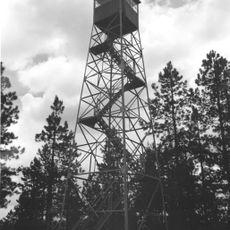
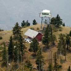
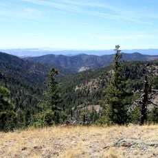
Nearly all the territory consists of national forest and public land, with less than one-fifth remaining privately owned. This makes it one of the wildest and least settled places in the region.

Location: New Mexico

Inception: February 25, 1921

Capital city: Reserve

Shares border with: Cibola County, Grant County, Socorro County, Sierra County, Greenlee County, Apache County

Website: http://catroncounty.us

GPS coordinates: 33.92000,-108.42000

Latest update: December 7, 2025 10:05

Photos
Around this place
Show the full map
Karl G. Jansky Very Large Array
United States of America

Karl G. Jansky Very Large Array

76.1 km
The Lightning Field
United States of America

The Lightning Field

72.4 km
Gila Wilderness
United States of America

Gila Wilderness

77.8 km
Very Long Baseline Array
United States of America

Very Long Baseline Array

76.1 km
Mogollon
United States of America

Mogollon

67.9 km
Round Valley Ensphere
United States of America

Round Valley Ensphere

82.9 km
Escudilla Mountain
United States of America

Escudilla Mountain

65.4 km
Apache Kid Wilderness
United States of America

Apache Kid Wilderness

96.8 km
Lyman Reservoir
United States of America

Lyman Reservoir

99.8 km
Apache National Forest
United States of America

Apache National Forest

72 km
Casa Malpaís
United States of America

Casa Malpaís

85.1 km
Withington Wilderness
United States of America

Withington Wilderness

88.8 km
Cebolla Wilderness
United States of America

Cebolla Wilderness

103.2 km
Alpine Elementary School
United States of America

Alpine Elementary School

67.7 km
L.C. Ranch Headquarters
United States of America

L.C. Ranch Headquarters

107.4 km
Butterfly Lodge
United States of America

Butterfly Lodge

95.6 km
Whitewater Creek
United States of America

Whitewater Creek

80 km
Eagar Townsite Historic District
United States of America

Eagar Townsite Historic District

83.1 km
Eagar School
United States of America

Eagar School

83.1 km
PS Knoll Lookout Complex
United States of America

PS Knoll Lookout Complex

92.3 km
Mogollon Baldy Lookout Cabin
United States of America

Mogollon Baldy Lookout Cabin

74 km
Gallo Mountains
United States of America

Gallo Mountains

24.4 km
Cosmic Campground
United States of America

Cosmic Campground

67.6 km
Gila Cliff Dwellings Bookstore Western National Parks Association
United States of America

Gila Cliff Dwellings Bookstore Western National Parks Association

78.2 km
Shiva:Shiwana
United States of America

Shiva:Shiwana

75.6 km
Bracewell Radio Sundial
United States of America

Bracewell Radio Sundial

75.6 km
Mogollon Baldy Lookout
United States of America

Mogollon Baldy Lookout

74 km
Bearwallow Lookout
United States of America

Bearwallow Lookout

57.2 km
Show the full map
Reviews

Visited this place? Tap the stars to rate it and share your experience / photos with the community! Try now! You can cancel it anytime.

Administrative divisions
« Catron County - Administrative county in southwestern New Mexico, United States » is provided by Around Us (aroundus.com). Images and texts are derived from Wikimedia project under a Creative Commons license. You are allowed to copy, distribute, and modify copies of this page, under the conditions set by the license, as long as this note is clearly visible.

Discover hidden gems everywhere you go!

From secret cafés to breathtaking viewpoints, skip the crowded tourist spots and find places that match your style. Our app makes it easy with voice search, smart filtering, route optimization, and insider tips from travelers worldwide. Download now for the complete mobile experience.

Around Us App Screenshot

A unique approach to discovering new places

Le Figaro

All the places worth exploring

France Info

A tailor-made excursion in just a few clicks

20 Minutes