Enable Location

We need your location to show you interesting places around you

Discover nearby places

Find interesting locations and hidden gems around you

Precise directions

Get accurate directions and distances to places

Your location is never shared with other users. It's only used when you tap the location button.

Ciudad Juárez

Log in to your account

Start exploring — it's free

Trusted by 62,036 travelers worldwide

Continue with Google
Continue with Apple
or

We will send you a code to connect

By continuing, you accept our Terms and Conditions and our Privacy Policy

Check your inbox

We've sent a pincode in your inbox. Please enter the code below.

Ciudad Juárez

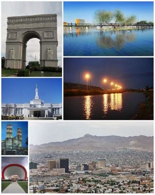
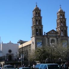
Ciudad Juárez, Border city in Chihuahua, Mexico

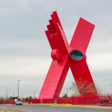
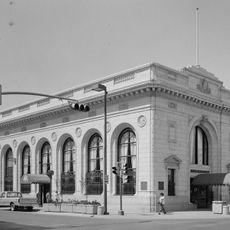
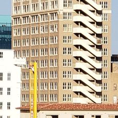
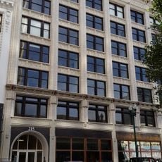
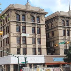
Ciudad Juárez is a large Mexican city in Chihuahua state that sits directly across from El Paso, Texas, separated by the Rio Grande. It spreads across a wide area with densely built residential neighborhoods, modern industrial zones and broad avenues, all framed by low mountains in the background.

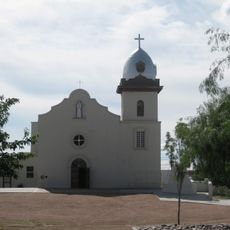
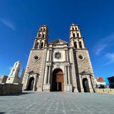
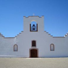
The settlement began in 1659 as El Paso del Norte, serving as a Spanish mission and trading point at the river crossing. It took its current name in 1888, after President Benito Juárez governed from there during the French invasion.

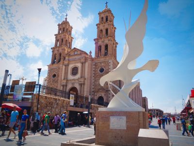
The place is known for street vendors selling tacos, quesadillas and other Mexican dishes straight from the grill, while daily life unfolds around open plazas and busy markets. In the evenings, families and friends gather in public parks and restaurants, where music and conversation fill the air and reveal the energy of border living.

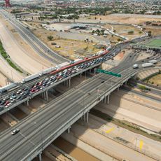
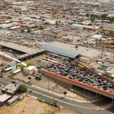
The main bridges over the Rio Grande connect the area to Texas and are heavily used during the day, especially during morning and late afternoon rush hours. Visitors should expect dry heat in summer and cool winds in winter, as the climate here is desert-like and the sun is strong most of the year.

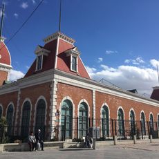
At several border crossings, thousands of workers move back and forth between the two countries every day, creating a constant flow that defines the rhythm of this region. The area also holds one of the longest streetcar lines in North America, which once connected both sides and can still be traced by old tracks and stations.

The community of curious travelers

AroundUs brings together thousands of curated places, local tips, and hidden gems, enriched daily by 60,000 contributors worldwide.

Start exploring
Inception
1659
Elevation above the sea
1,137 m
Part of
Mexico–United States border
GPS coordinates
31.66850,-106.42000
Latest update
December 12, 2025 19:17
Around this place
Show the full map
« Ciudad Juárez - Border city in Chihuahua, Mexico » is provided by Around Us (aroundus.com). Images and texts are derived from Wikimedia project under a Creative Commons license. You are allowed to copy, distribute, and modify copies of this page, under the conditions set by the license, as long as this note is clearly visible.

Discover hidden gems everywhere you go!

From secret cafés to breathtaking viewpoints, skip the crowded tourist spots and find places that match your style. Our app makes it easy with voice search, smart filtering, route optimization, and insider tips from travelers worldwide. Download now for the complete mobile experience.

Around Us App Screenshot

A unique approach to discovering new places

Le Figaro

All the places worth exploring

France Info

A tailor-made excursion in just a few clicks

20 Minutes

Around Us
Travel Guide & Maps
Download

Send to your phone

QR Code
1

Open the camera app on your mobile.

2

Point at the QR code with your camera. A notification will appear.

3

Tap the notification to open the link.