Enable Location

We need your location to show you interesting places around you

Discover nearby places

Find interesting locations and hidden gems around you

Precise directions

Get accurate directions and distances to places

Your location is never shared with other users. It's only used when you tap the location button.

Log in to your account

Start exploring — it's free

Trusted by 68,246 travelers worldwide

Continue with Google
Continue with Apple
or

We will send you a code to connect

By continuing, you accept our Terms and Conditions and our Privacy Policy

Check your inbox

We've sent a pincode in your inbox. Please enter the code below.

Discussion Reviews Photo
10.5k Popularity

Chiquimulilla, Municipality in Santa Rosa Department, Guatemala.

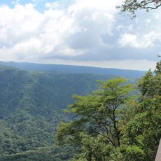
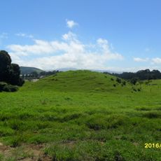
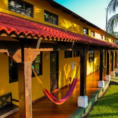
Chiquimulilla is a municipality in Santa Rosa that stretches across varied terrain, from mountainous areas down toward coastal zones. The administrative area encompasses several settlements and offers diverse landscapes throughout its jurisdiction.

The territory was inhabited by Xinca communities before European arrival, establishing deep roots in this region. These indigenous populations have maintained their presence throughout centuries in this area.

Local artisans craft traditional leather goods that shape daily life and the region's economy. These handcraft techniques are part of the local identity and pass from one generation to the next.

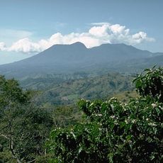
The municipality is located at a manageable distance from Guatemala City and provides administrative facilities for residents and visitors. The varied elevations and proximity to the coast influence the climate and travel planning.

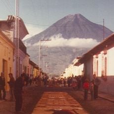
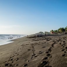
The territory sits remarkably close to the Pacific coast while maintaining mountain landscapes within the same administrative area. This geographic proximity to the sea is relatively rare for an inland region and shapes the local environment.

The community of curious travelers

AroundUs brings together thousands of curated places, local tips, and hidden gems, enriched daily by 60,000 contributors worldwide.

Start exploring
Elevation above the sea
294 m
Shares border with
Guazacapán, Cuilapa, Pueblo Nuevo Viñas, Pasaco, Moyuta, San Juan Tecuaco, Santa María Ixhuatán, Taxisco
GPS coordinates
14.08583,-90.38222
Latest update
December 10, 2025 15:53
Reviews
Share your experience

No review yet

Discussions
Start a discussion...

No discussion yet

« Chiquimulilla - Municipality in Santa Rosa Department, Guatemala » is provided by Around Us (aroundus.com). Images and texts are derived from Wikimedia project under a Creative Commons license. You are allowed to copy, distribute, and modify copies of this page, under the conditions set by the license, as long as this note is clearly visible.

Discover hidden gems everywhere you go!

From secret cafés to breathtaking viewpoints, skip the crowded tourist spots and find places that match your style. Our app makes it easy with voice search, smart filtering, route optimization, and insider tips from travelers worldwide. Download now for the complete mobile experience.

Around Us App Screenshot

A unique approach to discovering new places

Le Figaro

All the places worth exploring

France Info

A tailor-made excursion in just a few clicks

20 Minutes

Around Us
Travel Guide & Maps
Download

Send to your phone

QR Code
1

Open the camera app on your mobile.

2

Point at the QR code with your camera. A notification will appear.

3

Tap the notification to open the link.