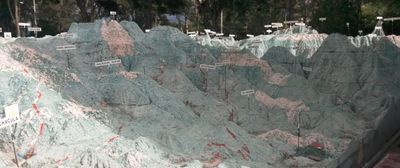
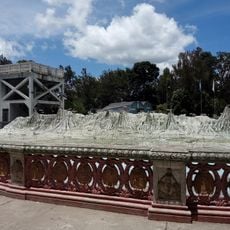
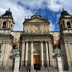
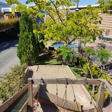
Mapa en Relieve de Guatemala, Relief map monument in Zona 2, Guatemala City, Guatemala.
The Mapa en Relieve de Guatemala is a large three-dimensional map that displays the country's landforms and water features with its own irrigation system. Channels and basins give rivers and lakes a natural appearance, fed by a sophisticated system of communicating vessels that distributes water throughout the display.
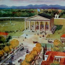
President Manuel Estrada Cabrera commissioned engineer Francisco Vela to build this geographical representation, completed in 1905. The project emerged during a period when such maps represented innovative ways to understand and communicate a nation's geography.
The medallions around the perimeter display symbols from Guatemalan history, crafted by the A. Doninelli workshop with detailed reliefs. They tell stories of the nation's past and important figures through their carved designs.
The site is best visited during good lighting to see the details of elevation changes and water systems clearly. The pathways are flat and easy to walk, making it comfortable for most visitors to explore the entire structure.
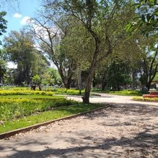
Next to the map sits the Bosque de Hormigo, a forest containing more than a hundred trees dedicated to Guatemalan composers and marimba performers. This collection honors the country's musical heritage in an unexpected way.
The community of curious travelers
AroundUs brings together thousands of curated places, local tips, and hidden gems, enriched daily by 60,000 contributors worldwide.