Guatemala City, Capital city in Valle de la Ermita, Guatemala
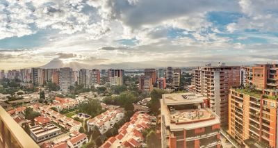
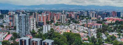
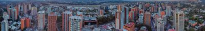
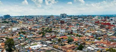
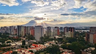
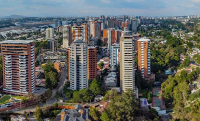
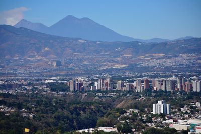
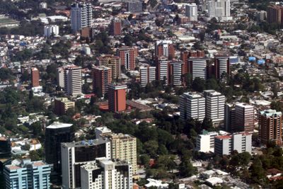
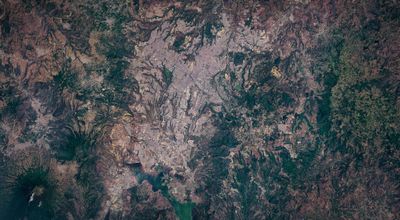
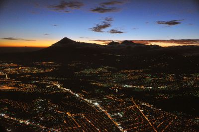
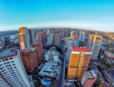
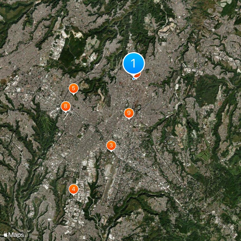
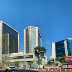
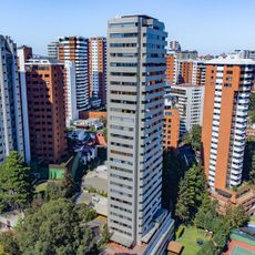
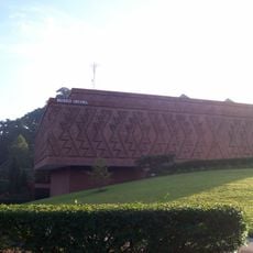
The capital sits in a mountain valley around fifteen hundred meters above sea level, surrounded by four volcanic summits and divided into twenty-two numbered zones. Broad avenues cross residential and commercial neighborhoods, while green ravines and hillsides stay visible between the zones.
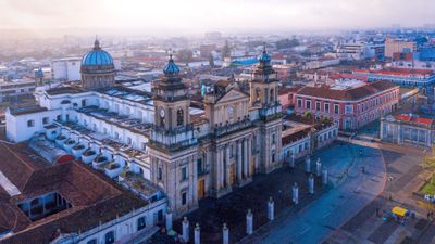
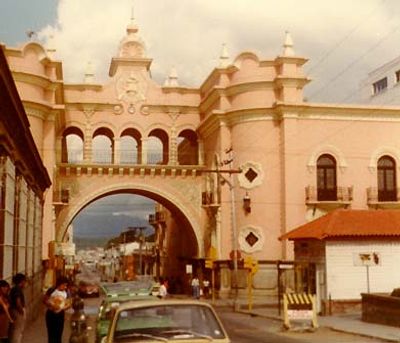
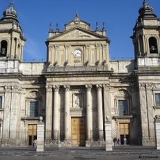
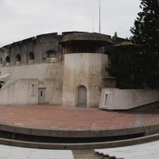
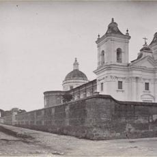
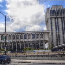
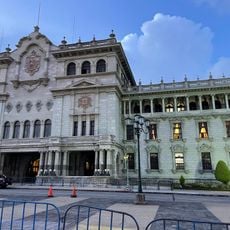
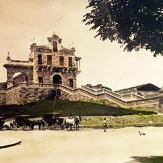
Spanish authorities transferred the capital here in seventeen seventy-six after an earthquake damaged the older settlement at Antigua. Over the following decades a new urban grid formed, later expanded through a zone system introduced in the twentieth century.
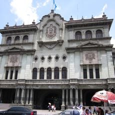
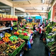
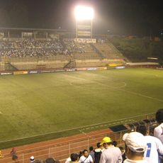
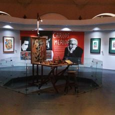
On weekends residents meet in parks and plazas throughout the zones, where families often share street snacks like garnachas or tostadas. Markets in zone one and zone four sell woven cloth and handmade ceramics, showing the craft tradition of the highlands.
La Aurora international airport lies south of the center and links the region with Central America and beyond. Most zones can be explored on foot, but distances between them often require a vehicle or public bus.
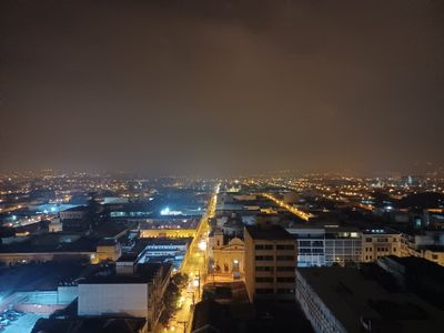
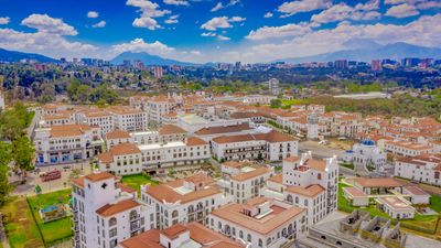
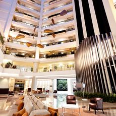
The numbered zone layout was designed by engineer Raúl Aguilar Batres, with each section having its own street grid. Zone ten is locally called Zona Viva and hosts many restaurants and hotels that remain open late into the evening.
The community of curious travelers
AroundUs brings together thousands of curated places, local tips, and hidden gems, enriched daily by 60,000 contributors worldwide.