Antigua Guatemala

Log in to your account

AroundUs is a community-driven map of interesting places, built by curious explorers like you. It grows with every review, story, and photo you share.
Connect to save your favorite spots, contribute locations, and create personalized routes.
By continuing, you accept our Terms and Conditions and our Privacy Policy
Add to collection
Map
Suggest a change
Share

Antigua Guatemala, Colonial city in Sacatepéquez Department, Guatemala.

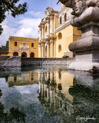
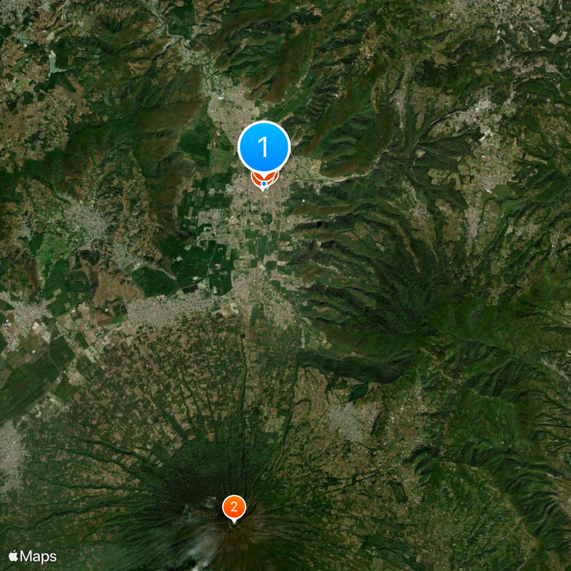
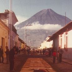
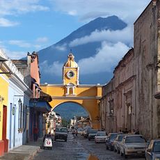
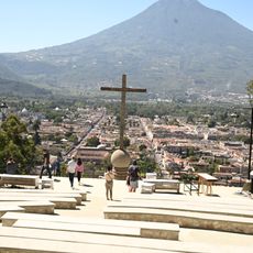
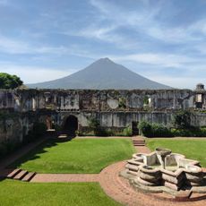
Antigua Guatemala is a former capital in Sacatepéquez Department, Guatemala, sitting on the slopes of the Panchoy Valley at around 1520 meters elevation. Three volcano cones surround the valley and remain visible from almost every point in town, especially in the morning or evening when the light traces their silhouettes clearly.

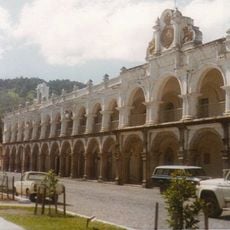
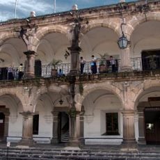
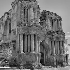
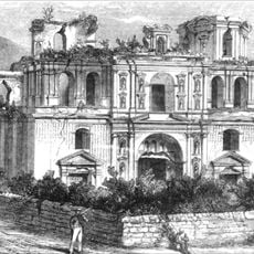
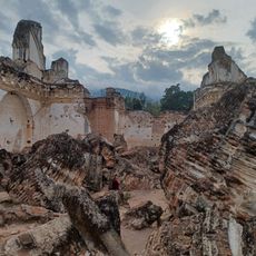
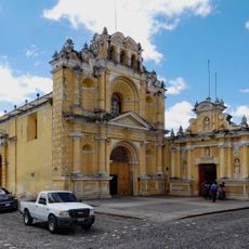
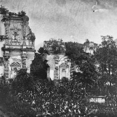
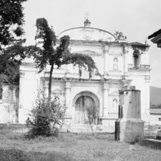
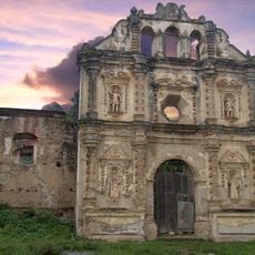
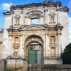
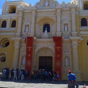
Founded in 1543 under the name Santiago de los Caballeros after a mudslide destroyed the second capital, the city grew over the following centuries. After earthquakes in 1773, authorities moved the seat of government to present-day Guatemala City, though many residents stayed among the ruins and gradually rebuilt the town.

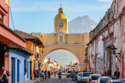
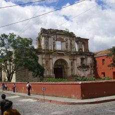
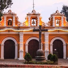
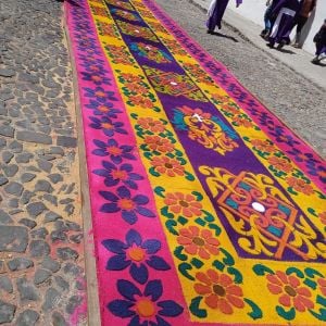
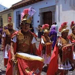
The name means Old Guatemala, showing how residents still distinguish the former capital from the current one. Many streets bear names recalling religious practices and buildings that visitors still walk past today, such as Calle del Arco and Calle de los Pasos.

Most travelers reach the town by shuttle or bus from the international airport in Guatemala City, taking between 45 and 90 minutes depending on traffic. The center can be explored on foot, as the main sights lie within a few blocks of Parque Central.

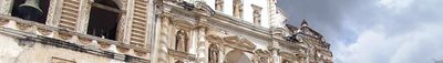
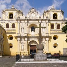
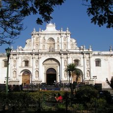
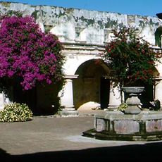
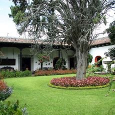
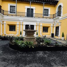
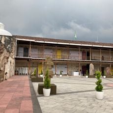
Most buildings do not stand completely upright, as earthquakes brought down parts of walls and vaults, but residents and visitors still use many courtyards and side wings for cafés, workshops, and housing. The street grid follows the original plan from the mid-16th century, so you walk the same paths that people used during colonial times.

Location: Sacatepéquez Department

Inception: 1543

Elevation above the sea: 1,582 m

Part of: Antigua Guatemala, Guatemala, Sacatepéquez Department

Shares border with: San Antonio Aguas Calientes, Magdalena Milpas Altas, Santa Lucía Milpas Altas, Santa María de Jesús, Ciudad Vieja, Jocotenango, Pastores, San Bartolomé Milpas Altas

Address: Antigua Guatemala, Guatemala

GPS coordinates: 14.55750,-90.73333

Latest update: December 4, 2025 19:04

Reviews

Real people, real opinions — but not verified.

Visited this place? Tap the stars to rate it and share your experience / photos with the community! Try now! You can cancel it anytime.

francoise26
@francoise26

May 6, 2025 09:29

Former capital of Guatemala. Always magical for its architecture and the surrounding nature! Do not miss Holy Week!

« Antigua Guatemala - Colonial city in Sacatepéquez Department, Guatemala » is provided by Around Us (aroundus.com). Images and texts are derived from Wikimedia project under a Creative Commons license. You are allowed to copy, distribute, and modify copies of this page, under the conditions set by the license, as long as this note is clearly visible.

Discover hidden gems everywhere you go!

From secret cafés to breathtaking viewpoints, skip the crowded tourist spots and find places that match your style. Our app makes it easy with voice search, smart filtering, route optimization, and insider tips from travelers worldwide. Download now for the complete mobile experience.

Around Us App Screenshot

A unique approach to discovering new places

Le Figaro

All the places worth exploring

France Info

A tailor-made excursion in just a few clicks

20 Minutes