Ahuachapán Department

Log in to your account

AroundUs is a community-driven map of interesting places, built by curious explorers like you. It grows with every review, story, and photo you share.
Connect to save your favorite spots, contribute locations, and create personalized routes.
Continue with Google
Continue with Apple
Continue with X
Continue with Facebook
Continue with email
By continuing, you accept our Terms and Conditions and our Privacy Policy
Create an account
Add to collection
Map
Suggest a change
Share

Ahuachapán Department, Administrative department in western El Salvador

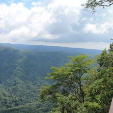
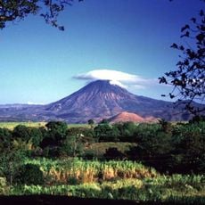
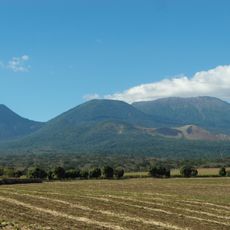
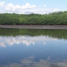
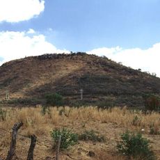
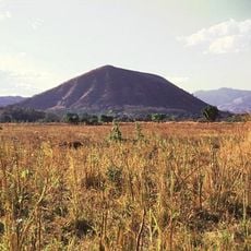
Ahuachapán Department is an administrative region in western El Salvador that encompasses mountainous and agricultural terrain near the Guatemalan border. The territory divides into three distinct zones, each with its own landscape character and settlement patterns.

The region gained administrative independence on February 9, 1869, when it separated from Santa Ana Department under President Francisco Dueñas. This division was part of a broader reorganization that reshaped the country's governance structure.

The department remains rooted in agricultural traditions, with coffee and sugar cane farming shaping daily life and local commerce. Farmers bring their harvests to public markets where the rhythm of selling and buying reflects generations of land stewardship.

The region connects to major Salvadoran cities through a network of highways, with the Pan-American Highway running through its northern section. Local roads in rural areas may be less developed than main routes, so travelers should plan accordingly.

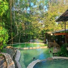
Geothermal fields here generate electricity for El Salvador, with thermal springs scattered throughout the territory. These natural heat sources tap into geological processes that make the region important for the country's power needs.

Location: El Salvador

Inception: February 9, 1869

Capital city: Ahuachapán

Part of: Western Zone of El Salvador

Shares border with: Sonsonate Department, Santa Ana Department, Jutiapa Department

GPS coordinates: 13.92339,-89.84629

Latest update: December 7, 2025 19:24

Photos
Reviews

Visited this place? Tap the stars to rate it and share your experience / photos with the community! Try now! You can cancel it anytime.

« Ahuachapán Department - Administrative department in western El Salvador » is provided by Around Us (aroundus.com). Images and texts are derived from Wikimedia project under a Creative Commons license. You are allowed to copy, distribute, and modify copies of this page, under the conditions set by the license, as long as this note is clearly visible.

Discover hidden gems everywhere you go!

From secret cafés to breathtaking viewpoints, skip the crowded tourist spots and find places that match your style. Our app makes it easy with voice search, smart filtering, route optimization, and insider tips from travelers worldwide. Download now for the complete mobile experience.

Around Us App Screenshot

A unique approach to discovering new places

Le Figaro

All the places worth exploring

France Info

A tailor-made excursion in just a few clicks

20 Minutes