Concepción de Ataco
Concepción de Ataco, Mountain district in Ahuachapán, El Salvador
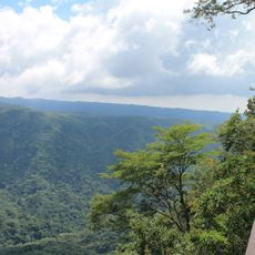
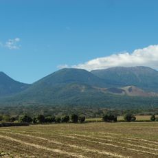
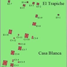
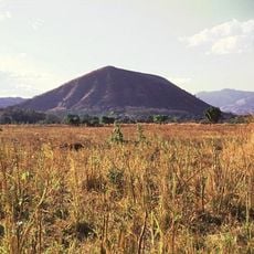
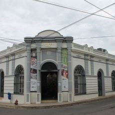
Concepción de Ataco is a mountain district nestled in the Apaneca range at 1,240 meters elevation, where slopes and valleys connect different neighborhoods throughout the area. The settlement comprises several districts including El Arco and San José, each maintaining its own crafts and local traditions.
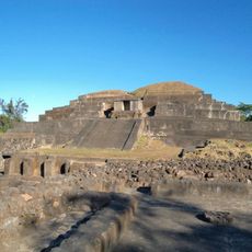
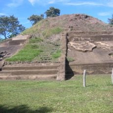
The settlement emerged in the 16th century from Yaqui and Pipil communities and experienced several shifts in administrative status through the centuries. It gained city recognition in the late 20th century, marking a transition toward formal establishment.
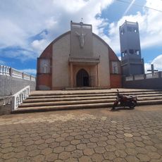
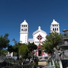
The town gathers for celebrations honoring its patron saint in mid-December, when colored lanterns brighten the streets and locals come together for music and food. This tradition weaves together religious devotion with the community's daily life and connection to the place.
The location sits in the mountains, so the air is cooler and weather can be changeable, particularly during rainy season. Visitors should bring appropriate clothing for the elevation and be prepared for varying road conditions across different neighborhoods.
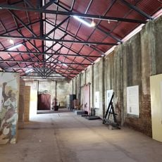
A crafts workshop in town has been producing textiles using traditional methods since the early 20th century, with techniques passed down through generations. This work remains visible in daily life and represents a continuous link to the community's heritage.
Location: Central Ahuachapán
Inception: 1770
Elevation above the sea: 1,240 m
Address: Concepción de Ataco, El Salvador
GPS coordinates: 13.87034,-89.85090
Latest update: December 6, 2025 16:02
El Salvador presents a collection of places where history, nature, and culture meet. The country is shaped by volcanic landscapes, clear lakes, and Pacific beaches that blend with archaeological sites from pre-Columbian times. Visitors can explore ancient Maya temples like Tazumal and Joya de Cerén,...
Tazumal
22.6 km
Izalco
24.4 km
Santa Ana Volcano
24.1 km
Santa Ana Cathedral, El Salvador
34.8 km
El Imposible National Park
12 km
Casa Blanca, El Salvador
23.4 km
Chingo
30.7 km
Los Volcanes National Park
25.1 km
Barra de Santiago
26.1 km
National Theatre of Santa Ana
34.7 km
Estadio Óscar Quiteño
32.7 km
Parque Libertad
34.7 km
El Trapiche
24 km
Santa Teresa Hot Springs.
5 km
Salto Malacatiupán
15.1 km
Teatro Nacional de Santa Ana
34.7 km
Playa Los Cóbanos
38.8 km
Casa Blanca Archaeological Site
23.4 km
Arena y Sol
47.6 km
Museo del Ferrocarril
21.7 km
Cerro Singüil
31.3 km
Railway Museum Plaza
21.8 km
Phare d'Acajutla (National Pier)
31.4 km
Parque Central Moyuta
31.2 km
Centro para la Cultura y las Artes "Dr. Alfredo Espino"
5.7 km
Sonsonate Cemetery
20.3 km
Iglesia Juayua
12 km
Los Volcanes Sector Los Andes National Park
24.9 kmVisited this place? Tap the stars to rate it and share your experience / photos with the community! Try now! You can cancel it anytime.
Discover hidden gems everywhere you go!
From secret cafés to breathtaking viewpoints, skip the crowded tourist spots and find places that match your style. Our app makes it easy with voice search, smart filtering, route optimization, and insider tips from travelers worldwide. Download now for the complete mobile experience.
A unique approach to discovering new places❞
— Le Figaro
All the places worth exploring❞
— France Info
A tailor-made excursion in just a few clicks❞
— 20 Minutes