
Asunción Mita, municipality of Jutiapa Department, Guatemala
Location: Jutiapa Department
Elevation above the sea: 466 m
Shares border with: San Antonio Pajonal, Agua Blanca, El Progreso, Santa Catarina Mita, Yupiltepeque, Atescatempa
Website: http://inforpressca.com/asuncionm
GPS coordinates: 14.33333,-89.71667
Latest update: March 12, 2025 15:41
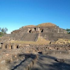
Tazumal
39.6 km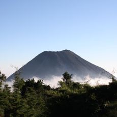
Izalco
58.5 km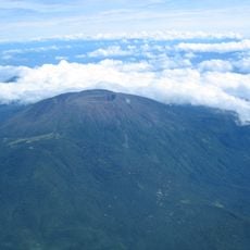
Santa Ana Volcano
54.5 km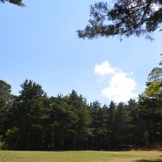
Montecristo National Park
36.3 km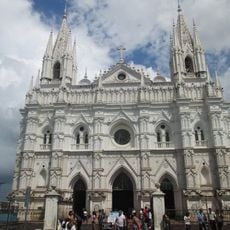
Santa Ana Cathedral, El Salvador
41.5 km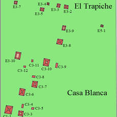
Casa Blanca, El Salvador
38.6 km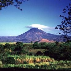
Chingo
24 km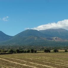
Los Volcanes National Park
57.2 km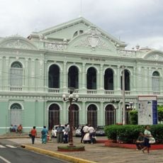
National Theatre of Santa Ana
41.4 km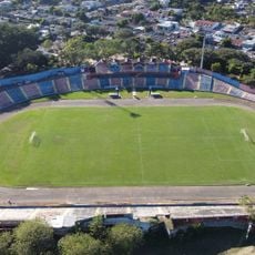
Estadio Óscar Quiteño
42.8 km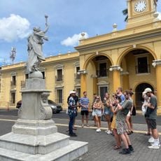
Parque Libertad
41.5 km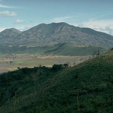
Suchitan
6.8 km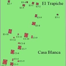
El Trapiche
37.9 km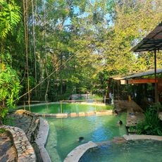
Santa Teresa Hot Springs.
49.2 km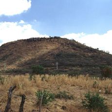
Culma
17.8 km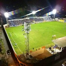
Estadio Jorge Calero Suárez
28.9 km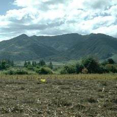
Tahual
22.5 km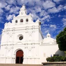
Iglesia de San Pedro Apóstol
29.1 km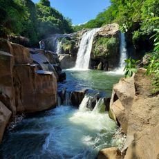
Salto Malacatiupán
38.5 km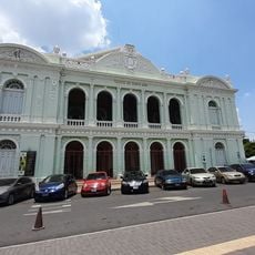
Teatro Nacional de Santa Ana
41.4 km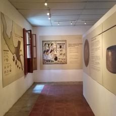
Casa Blanca Archaeological Site
38.8 km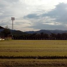
Estadio La Asunción
550 m
Arena y Sol
21.4 km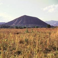
Cerro Singüil
32.5 km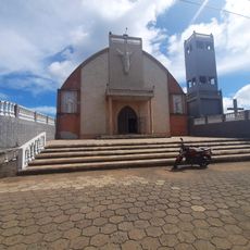
Parque Central Moyuta
51.3 km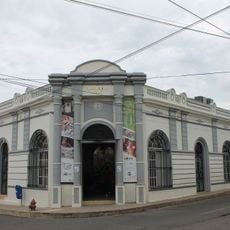
Centro para la Cultura y las Artes "Dr. Alfredo Espino"
48 km
Catarata de Urlanta
46 km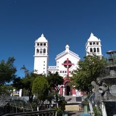
Iglesia Juayua
54.6 kmReviews
Visited this place? Tap the stars to rate it and share your experience / photos with the community! Try now! You can cancel it anytime.
Discover hidden gems everywhere you go!
From secret cafés to breathtaking viewpoints, skip the crowded tourist spots and find places that match your style. Our app makes it easy with voice search, smart filtering, route optimization, and insider tips from travelers worldwide. Download now for the complete mobile experience.

A unique approach to discovering new places❞
— Le Figaro
All the places worth exploring❞
— France Info
A tailor-made excursion in just a few clicks❞
— 20 Minutes