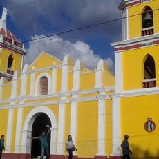
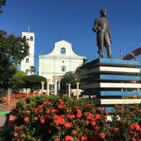
Matagalpa Department, Administrative department in central Nicaragua
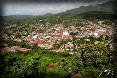
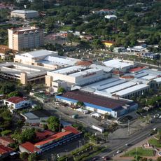
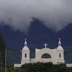
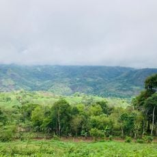
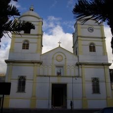
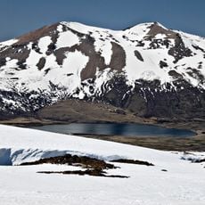
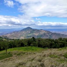
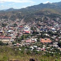
Matagalpa Department is an administrative region in central Nicaragua featuring mountainous and forested terrain crossed by rivers and dotted with farmland. The region comprises thirteen municipalities linked by roads that radiate from and connect around Matagalpa city.
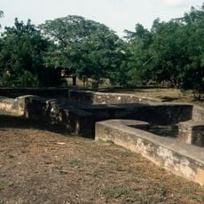
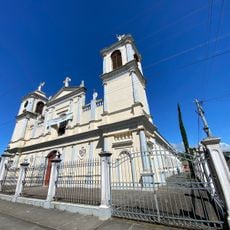
The region was originally inhabited by the Cacaopera people, who resisted Spanish colonization for three centuries until losing independence in 1875. This prolonged resistance significantly shaped the area's early development.
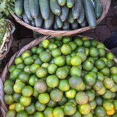
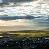
Coffee cultivation shapes daily life and work patterns throughout the region, with farming techniques introduced by European settlers still visible in the fields today. The area remains a major production center where these agricultural traditions continue to define the landscape and community rhythms.
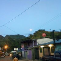
The region is best explored by familiarizing yourself with local routes that branch out from Matagalpa city in different directions. Visitors should expect varying road conditions depending on which areas they plan to visit.
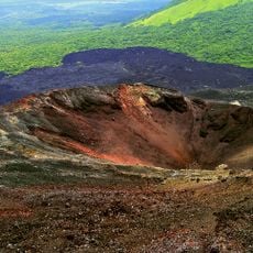
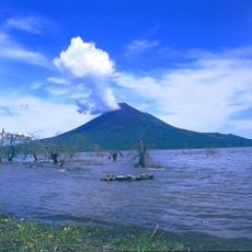
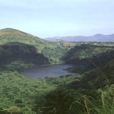
The region contains extensive natural reserves that coexist alongside coffee plantations, protecting rare plant and animal species. This blend of cultivated land and untouched nature characterizes the area and offers visitors diverse landscapes.
The community of curious travelers
AroundUs brings together thousands of curated places, local tips, and hidden gems, enriched daily by 60,000 contributors worldwide.