Francisco Morazán Department
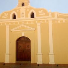
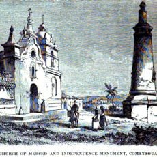
Francisco Morazán Department, Department in central Honduras
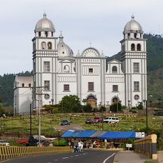
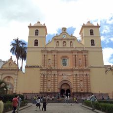
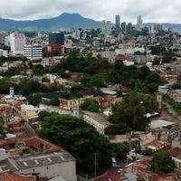
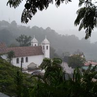
Francisco Morazán Department comprises 28 municipalities spread across central Honduras, featuring mountains with pine forests and valleys throughout its territory. Tegucigalpa, the national capital, sits at its heart.
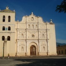
The department was founded in 1825 as part of Honduras's first territorial division and originally bore the name Tegucigalpa. It was renamed Francisco Morazán in 1943 in honor of a key national leader.
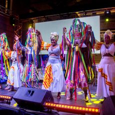
The northern region is home to Jicaque communities in Montaña de la Flor who continue practicing traditional crafts and ways of living. These groups remain integral to the cultural identity of the area.
The terrain is quite mountainous, so travel within the department involves winding roads and can be slow in more remote areas. Plan for more time than usual to reach destinations, especially if you venture away from main routes.
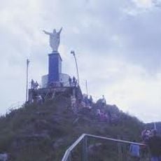
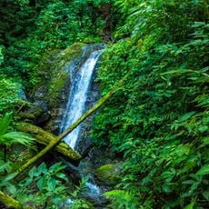
The department contains several plateau areas and mountain chains that form some of Honduras's highest elevations and harbor rare montane ecosystems. These high-altitude zones create distinctly cooler conditions compared to lower regions elsewhere in the country.
Location: Honduras
Inception: June 28, 1825
Capital city: Tegucigalpa
Shares border with: Valle Department
GPS coordinates: 14.10571,-87.20401
Latest update: December 6, 2025 22:07
Choluteca Bridge
88.4 km
Virgin of Suyapa
5.7 km
La Tigra National Park
15.9 km
Christ at El Picacho
1.6 km
Immaculate Conception Cathedral, Comayagua
61.5 km
Manuel Bonilla National Theater
564 m
Basílica de Suyapa
5.8 km
Cerro Azul Meámbar National Park
110.4 km
Somoto Canyon National Monument
90.4 km
PARQUE DE LA FAMILIA
109.6 km
Montaña de Comayagua National Park
54.5 km
Juan Ramón Molina National Library
138 m
Museum of Comayagua
61.6 km
Museo del Hombre Hondureño
188 m
Chiminike
3.9 km
Holy Spirit Grotto
88.1 km
Tegucigalpa Honduras Temple
6.9 km
Estadio Emilio Williams Agasse
90.4 km
Museum of the Revolution
104.9 km
Monumento a la Constitución de 1812
61.2 km
Museo Colonial de Arte Religioso
61.4 km
Museum for National Identity
463 m
Museo Histórico y Cívico Casa Cabañas
61.5 km
La Esperanza, Intibucá
107.5 km
Nature Reserve Tepesomoto-Pataste
113.3 km
Isla del Tigre Lighthouse
104.2 km
Museo Numismatico
3.8 km
Iglesia Ciudad Antigua
109.9 kmReviews
Visited this place? Tap the stars to rate it and share your experience / photos with the community! Try now! You can cancel it anytime.
Distrito Central
Alubarén
Cedros
Curarén
El Porvenir
Guaimaca
La Libertad
La Venta
Lepaterique
Maraita
Marale
Nueva Armenia
Ojojona
Orica
Reitoca
Sabanagrande
San Antonio de Oriente
San Buenaventura
San Ignacio
Cantarranas
San Miguelito
Santa Ana
Santa Lucía
Talanga
Tatumbla
Valle de Ángeles
Villa de San Francisco
Vallecillo
Discover hidden gems everywhere you go!
From secret cafés to breathtaking viewpoints, skip the crowded tourist spots and find places that match your style. Our app makes it easy with voice search, smart filtering, route optimization, and insider tips from travelers worldwide. Download now for the complete mobile experience.
A unique approach to discovering new places❞
— Le Figaro
All the places worth exploring❞
— France Info
A tailor-made excursion in just a few clicks❞
— 20 Minutes