Enable Location

We need your location to show you interesting places around you

Discover nearby places

Find interesting locations and hidden gems around you

Precise directions

Get accurate directions and distances to places

Your location is never shared with other users. It's only used when you tap the location button.

Valle de Ángeles

Log in to your account

Start exploring — it's free

Trusted by 62,075 travelers worldwide

Continue with Google
Continue with Apple
or

We will send you a code to connect

By continuing, you accept our Terms and Conditions and our Privacy Policy

Check your inbox

We've sent a pincode in your inbox. Please enter the code below.

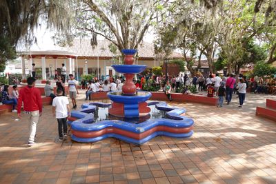
Valle de Ángeles, Mountain municipality in Francisco Morazán, Honduras.

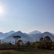
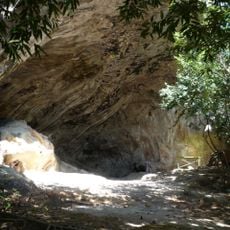
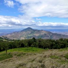
Valle de Ángeles is a mountain municipality located at about 1,300 meters elevation, surrounded by distinct peaks on all sides. The terrain defines the shape and layout of settlements within this geographic basin.

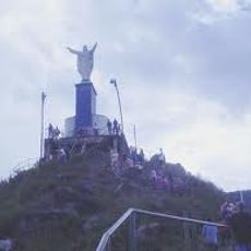
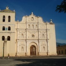
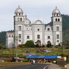
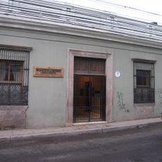
The area developed from a colonial parish and was renamed in 1862 by a religious figure. This change in name reflected a shift in how the community was recognized and governed.

Local artisans here continue working with traditional wood carving and pottery techniques that have been part of community life for generations. These crafts shape the character of the place and are visible in homes and workshops throughout the municipality.

The municipality is connected by a paved road to the nearest major city, making it accessible throughout the year. The high elevation means cooler temperatures and different weather patterns than lower regions.

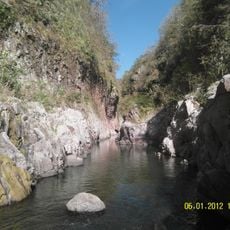
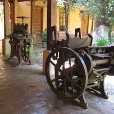
The region has a significant mining past when various minerals were extracted from local deposits, shaping its early development. Traces of this economic activity remain visible in the landscape and local memory.

The community of curious travelers

AroundUs brings together thousands of curated places, local tips, and hidden gems, enriched daily by 60,000 contributors worldwide.

Start exploring
Elevation above the sea
1,289 m
Address
Valle de Angeles, Francisco Morazán, Honduras
GPS coordinates
14.15000,-87.03333
Latest update
December 6, 2025 16:03
Honduras: national parks, Copán ruins, Caribbean islands

Honduras holds a range of natural sites and archaeological locations along its Caribbean coastline and mountainous interior. The Copán ruins stand among the most important remnants of the Mayan civilization, displaying intricate stonework and the Hieroglyphic Stairway. Several islands in the Bay...

« Valle de Ángeles - Mountain municipality in Francisco Morazán, Honduras » is provided by Around Us (aroundus.com). Images and texts are derived from Wikimedia project under a Creative Commons license. You are allowed to copy, distribute, and modify copies of this page, under the conditions set by the license, as long as this note is clearly visible.

Discover hidden gems everywhere you go!

From secret cafés to breathtaking viewpoints, skip the crowded tourist spots and find places that match your style. Our app makes it easy with voice search, smart filtering, route optimization, and insider tips from travelers worldwide. Download now for the complete mobile experience.

Around Us App Screenshot

A unique approach to discovering new places

Le Figaro

All the places worth exploring

France Info

A tailor-made excursion in just a few clicks

20 Minutes

Around Us
Travel Guide & Maps
Download

Send to your phone

QR Code
1

Open the camera app on your mobile.

2

Point at the QR code with your camera. A notification will appear.

3

Tap the notification to open the link.