Montaña de Yoro National Park, National park in Francisco Morazán and Yoro, Honduras
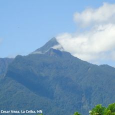
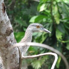
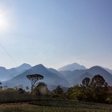
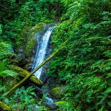
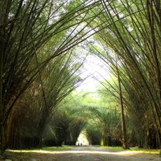
Montaña de Yoro National Park is a mountain range that reaches between 1800 and 2245 meters in elevation and covers nearly 155 square kilometers across two departments. It supports three distinct forest types - broadleaf, mixed, and coniferous - that create layered ecosystems at different heights.
The park was established as a national park in 1987 and includes several mountain ranges such as Mogotes, Tamagazapa, La Florida, and La Muralla within Francisco Morazán department. Its creation represented a major step in protecting this mountainous region and its ecosystems from deforestation.
The name comes from the Nahuatl word 'Yolotl', meaning 'heart and center', which reflects how local people saw this mountain range as central to their land. This meaning shows how deeply rooted the place is in the region's indigenous traditions.
The park spans two departments with multiple entry points, and the city of Yoro in the northeast works as a main gateway for visitors. You should expect mountain terrain and varying weather conditions, especially at higher elevations where conditions can change quickly.
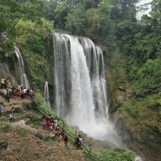
The park contains trees that grow between 25 and 40 meters tall, creating dense canopies that support cloud forest ecosystems at high altitudes. These towering trees trap moisture and mist between their crowns, forming an environment that few people get to see or fully experience.
The community of curious travelers
AroundUs brings together thousands of curated places, local tips, and hidden gems, enriched daily by 60,000 contributors worldwide.