Enable Location

We need your location to show you interesting places around you

Discover nearby places

Find interesting locations and hidden gems around you

Precise directions

Get accurate directions and distances to places

Your location is never shared with other users. It's only used when you tap the location button.

Siguatepeque

Log in to your account

Start exploring — it's free

Trusted by 63,598 travelers worldwide

Continue with Google
Continue with Apple
or

We will send you a code to connect

By continuing, you accept our Terms and Conditions and our Privacy Policy

Check your inbox

We've sent a pincode in your inbox. Please enter the code below.

Discussion Reviews 1 Photos
18.9k Popularity

Siguatepeque, municipality in Comayagua Department, Honduras

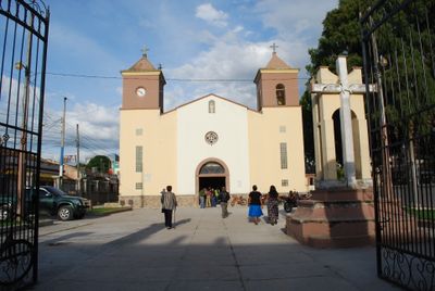
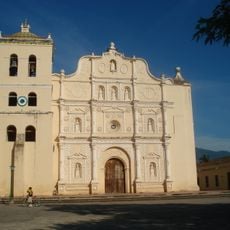
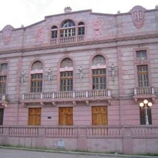
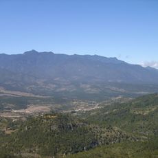
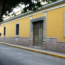
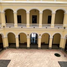
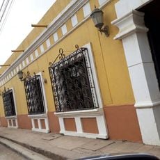
Siguatepeque is a small town in the central highlands of Honduras situated in a mountain valley at about 1100 meters in elevation. It features pastel-colored buildings, cobblestone streets, and small shops that line its walkways, all surrounded by green hills and forests that create a rustic and welcoming setting.

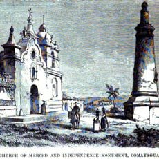
Siguatepeque was founded by the Spanish in 1689 as a place for religious retreats and grew through the mixing of local Lenca people, Mexican Nahuatl immigrants, and Spanish settlers. In the early 1900s it became its own municipality and later a city, remaining a lively center with ongoing local traditions and community events.

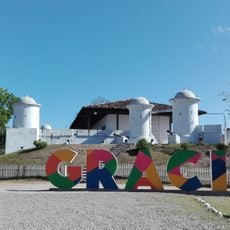
The name Siguatepeque comes from the Nahuatl language and is thought to mean 'town of beautiful women'. This heritage is visible in the friendly people who gather at the central square, celebrating local festivals and traditions through music, dance, and colorful decorations that fill the streets.

The town is easy to navigate on foot with small walkable streets and a central square serving as a good meeting point for travelers. Accommodation ranges from simple guesthouses to small hotels with wireless internet, and local restaurants serve affordable Honduran dishes in a relaxed setting.

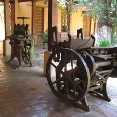
The National School of Forestry Science operates in Siguatepeque and trains students from many Latin American countries, showing the town's deep connection to nature and learning. This makes the town much more than a simple stop for passing travelers.

The community of curious travelers

AroundUs brings together thousands of curated places, local tips, and hidden gems, enriched daily by 60,000 contributors worldwide.

Start exploring
Elevation above the sea
1,066 m
GPS coordinates
14.59781,-87.83531
Latest update
February 16, 2026 23:00
Reviews
Share your experience

No review yet

Discussions
Start a discussion...

No discussion yet

« Siguatepeque - municipality in Comayagua Department, Honduras » is provided by Around Us (aroundus.com). Images and texts are derived from Wikimedia project under a Creative Commons license. You are allowed to copy, distribute, and modify copies of this page, under the conditions set by the license, as long as this note is clearly visible.

Discover hidden gems everywhere you go!

From secret cafés to breathtaking viewpoints, skip the crowded tourist spots and find places that match your style. Our app makes it easy with voice search, smart filtering, route optimization, and insider tips from travelers worldwide. Download now for the complete mobile experience.

Around Us App Screenshot

A unique approach to discovering new places

Le Figaro

All the places worth exploring

France Info

A tailor-made excursion in just a few clicks

20 Minutes

Around Us
Travel Guide & Maps
Download

Send to your phone

QR Code
1

Open the camera app on your mobile.

2

Point at the QR code with your camera. A notification will appear.

3

Tap the notification to open the link.