
Tucurú, municipality of Alta Verapaz Department, Guatemala
Location: Alta Verapaz Department
Inception: December 7, 1574
Elevation above the sea: 477 m
Shares border with: San Juan Chamelco, Senahú, Purulhá, Santa Catalina la Tinta, Tamahú
GPS coordinates: 15.30000,-90.06667
Latest update: June 19, 2025 10:26
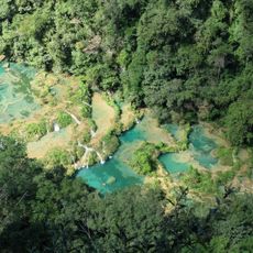
Semuc Champey
28.3 km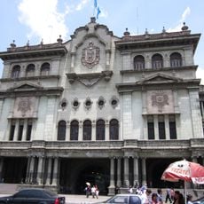
National Palace
87.5 km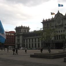
Plaza de la Constitución
87.5 km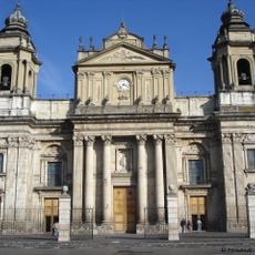
Cathedral of Guatemala City
87.5 km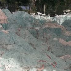
Mapa en Relieve de Guatemala
85.6 km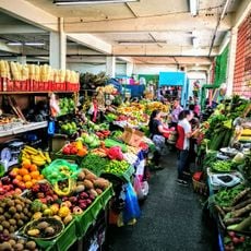
Mercado Central
87.5 km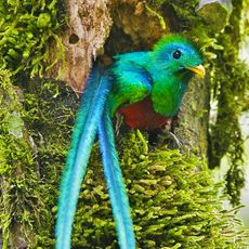
Biotopo del Quetzal
21.6 km
Reserva de la biosfera Sierra de las Minas
37.1 km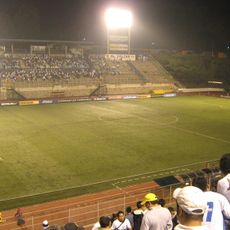
Estadio Cementos Progreso
83 km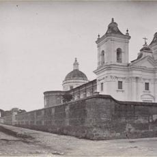
La Recoleccion Church, Guatemala City
87.4 km
Cancuén
79.3 km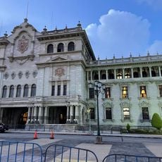
Edificio Nacional de la Cultura
87.5 km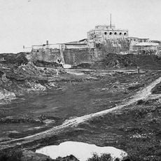
San José Castle
87.6 km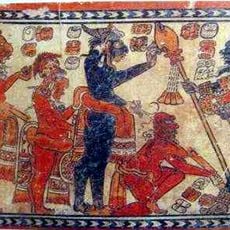
Chamá
58.7 km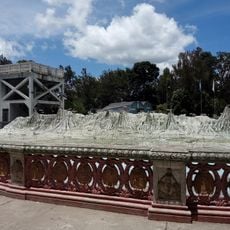
Relief Map
85.6 km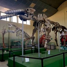
Museo de Paleontologia y Arqueología de Estanzuela
62.4 km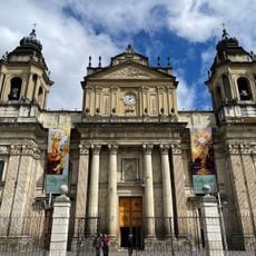
Catedral Metropolitana de Santiago de Guatemala
87.6 km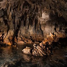
Rey Marcos Caves
27.1 km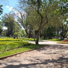
Parque Minerva
85.4 km
Guatemala Holocaust Museum
87.1 km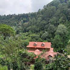
Catarata de Urlanta
78.1 km
Parque de Robots
85.5 km
Calvario
45.7 km
Kaji Tulam Casa de la memoria
87.1 km
Casa del Quetzal y la Marimba, Museo
34.4 km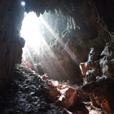
Cuevas de B'omb'il Pek
64.1 km
La Palmilla, Usumatlan
50.8 km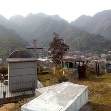
Cementerio Senahú
29.4 kmReviews
Visited this place? Tap the stars to rate it and share your experience / photos with the community! Try now! You can cancel it anytime.
Discover hidden gems everywhere you go!
From secret cafés to breathtaking viewpoints, skip the crowded tourist spots and find places that match your style. Our app makes it easy with voice search, smart filtering, route optimization, and insider tips from travelers worldwide. Download now for the complete mobile experience.

A unique approach to discovering new places❞
— Le Figaro
All the places worth exploring❞
— France Info
A tailor-made excursion in just a few clicks❞
— 20 Minutes