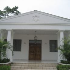
El Progreso, municipality in Yoro Department, Honduras
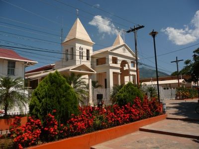
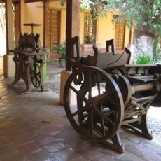
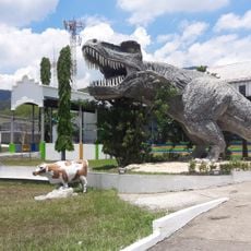
El Progreso is a small town in Yoro Department, Honduras, serving as an administrative and commercial center. The town features markets and parks where daily life unfolds, along with a railway museum housing old locomotives and several monuments honoring workers from the banana industry era.
El Progreso began as a small settlement called Aldea del Río Pelo in 1892 and later became a municipality. The town grew into an economic center during the 20th century through the banana industry and railway transport, which shaped its development and importance.
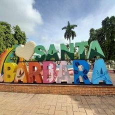
The name El Progreso reflects the town's growth from its original settlement called Aldea del Río Pelo. Residents use public squares and markets as gathering places where neighbors meet, share stories, and maintain strong community bonds through daily interaction.
The town is small and easy to navigate on foot, allowing visitors to experience daily life without difficulty. Local shared buses and taxis connect El Progreso to nearby towns, making it convenient to explore the surrounding areas.
El Progreso is home to Honduras' only railway museum, displaying old locomotives and passenger cars from the banana industry era. The town also preserves a rare German clock from the 1920s that still rings its bells and marks time for the entire community.
The community of curious travelers
AroundUs brings together thousands of curated places, local tips, and hidden gems, enriched daily by 60,000 contributors worldwide.