
Meta Department, Administrative department in eastern Colombia.
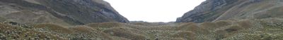
The Meta Department extends across 85,635 square kilometers of diverse terrain, from the Andean mountains to extensive grassland plains called Llanos.
The Colombian government established Meta as an independent department in 1960, designating Villavicencio as its administrative capital and regional center.
Indigenous communities in Meta preserve their traditions through native languages like Achagua and Piapoco, maintaining connections to their ancestral territories.
The department connects to other regions through highways from Bogotá to Villavicencio, while eastern areas rely on air and river transportation.
At Puerto López stands the Alto de Menegua monument, marking the exact geographic center of Colombia within the Meta Department borders.
Location: Colombia
Inception: July 1, 1960
Capital city: Villavicencio
Elevation above the sea: 238 m
Shares border with: Casanare Department, Vichada Department, Guaviare Department, Caquetá Department, Huila Department, Cundinamarca Department
Website: http://meta.gov.co
GPS coordinates: 3.46306,-73.70889
Latest update: May 27, 2025 20:52

Serranía de la Macarena
129.8 km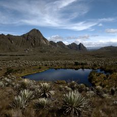
Sumapaz Paramo
114.7 km
Casa de Nariño
132.5 km
Estadio Bello Horizonte - Rey Pelé
75.9 km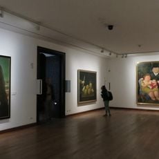
Botero Museum
132.5 km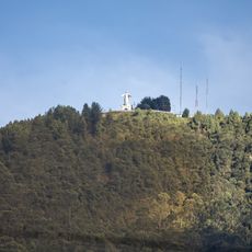
Guadalupe Hill
131.3 km
General Archive of the Nation
132.4 km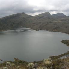
Sumapaz Natural Park
114.7 km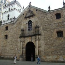
Iglesia de San Agustín, Bogotá
132.4 km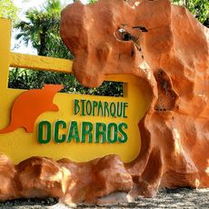
Bioparque Los Ocarros
81.1 km
Parque Metropolitano El Tunal
132.4 km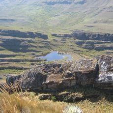
Cordillera de los Picachos National Natural Park
130.2 km
Colombian Military Museum
132.5 km
Tinigua National Natural Park
115.6 km
Our Lady of Mount Carmel Cathedral, Villavicencio
77.1 km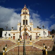
Iglesia de Nuestra Señora de Egipto
132 km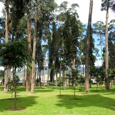
Parque Metropolitano Bosque de San Carlos
131 km
Camarín del Carmen
132.4 km
Museo de Arte Banco de la República
132.5 km
Archeological Museum of Pasca
114.8 km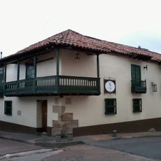
Fundación Gilberto Alzate Avendaño
132.4 km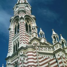
Iglesia de Nuestra Señora del Carmen, Bogot
132.3 km
Parque Usme Pueblo
121.5 km
Lac Chisaca
114.8 km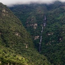
Cascada La Chorrera
129.3 km
Museo de la Ciudad Autoconstruida
131 km
Museum "The Blessed Chichería" Traditional Ancestral
132.5 km
Sierra de la Macarena National Nature Park
80.5 kmReviews
Visited this place? Tap the stars to rate it and share your experience / photos with the community! Try now! You can cancel it anytime.
Discover hidden gems everywhere you go!
From secret cafés to breathtaking viewpoints, skip the crowded tourist spots and find places that match your style. Our app makes it easy with voice search, smart filtering, route optimization, and insider tips from travelers worldwide. Download now for the complete mobile experience.

A unique approach to discovering new places❞
— Le Figaro
All the places worth exploring❞
— France Info
A tailor-made excursion in just a few clicks❞
— 20 Minutes