Boquete District, Administrative district in Chiriquí Province, Panama
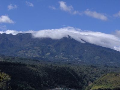
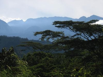
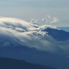
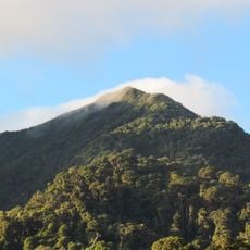
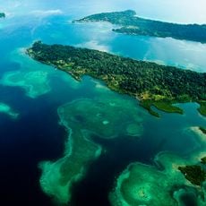
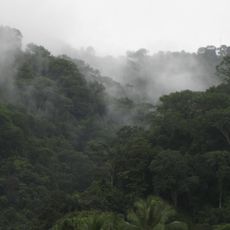
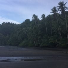
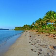
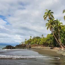
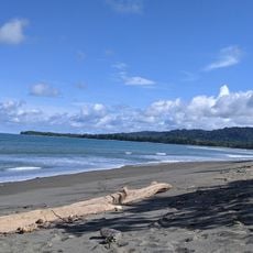
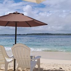
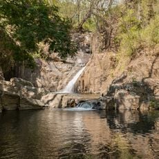
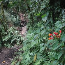
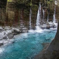
Boquete District is an administrative area in Chiriquí Province in western Panama, positioned between 300 and 3000 meters above sea level near Barú Volcano. The terrain features steep hillsides, river valleys, and forested zones that vary in vegetation and landscape depending on elevation.
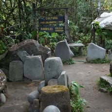
The area was home to early agricultural societies and chiefdoms, with evidence of human settlements between 300 and 600 CE in the volcanic region. These ancient communities adapted their way of life to the elevation and climate of the mountainous terrain.
The annual Flowers and Coffee Festival showcases the agricultural identity of the region through traditional music, local crafts, and coffee tastings that draw people from surrounding towns. Walking through the district, coffee farming and flower cultivation are visible everywhere in the landscape and daily routines.
The climate remains mild and consistent throughout the year with temperatures around 20 degrees Celsius, so light layered clothing works well year-round. Rain falls frequently, so bringing waterproof gear helps you explore comfortably even during wet periods.
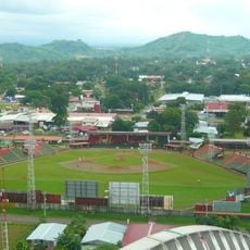
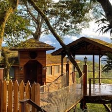
The district divides into six separate settlements, each with slightly different farming practices and landscape character based on where they sit in the elevation range. This variety lets visitors experience different rural settings without traveling far from one another.
The community of curious travelers
AroundUs brings together thousands of curated places, local tips, and hidden gems, enriched daily by 60,000 contributors worldwide.