Pedregal, Residential district in Panama City, Panama
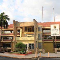
Pedregal is a residential district in the northeastern part of Panama City's metropolitan area, bordered by the Tapia and Juan Díaz rivers. The area contains several housing sectors and commercial zones that developed along major street corridors.
The district was established in 1960 through a municipal decision to address housing demands in the growing city. Its development was part of broader expansion plans for Panama City during that period.
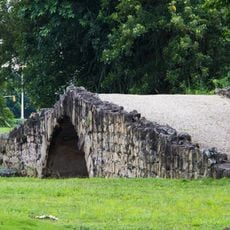
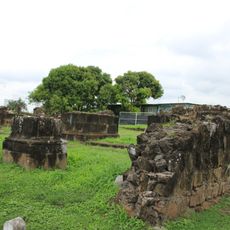
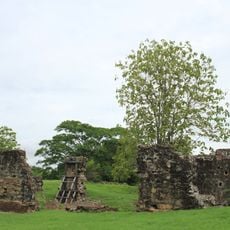
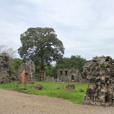
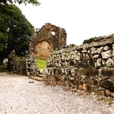
The name Pedregal comes from the rocky terrain near the Tapia River, reflecting the landscape features that have shaped how people see the neighborhood. This connection to nature remains visible in how the place is laid out today.
The area is served by Jose Agustin Arango avenue, a main road that connects various residential and commercial sectors. Visitors should expect different neighborhoods within the district to have distinct characters and layouts.
Cerro Tapia, the highest point in the district, shapes both the physical landscape and local water systems in ways many visitors overlook. This elevation influences how water naturally flows through the area and affects the terrain's contours.
The community of curious travelers
AroundUs brings together thousands of curated places, local tips, and hidden gems, enriched daily by 60,000 contributors worldwide.