
Manaure, Colombian municipality of the department of Cesar
Location: Cesar Department
Inception: 1874
Elevation above the sea: 917 m
Website: http://www.manaurebalcondelcesar-cesar.gov.co/sitio.shtml
Website: http://manaurebalcondelcesar-cesar.gov.co/sitio.shtml
GPS coordinates: 10.38917,-73.02917
Latest update: April 4, 2025 02:48
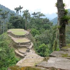
Ciudad Perdida
121.7 km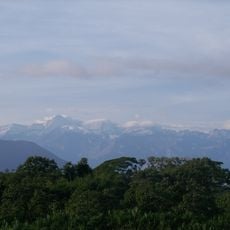
Sierra Nevada de Santa Marta National Park
92.1 km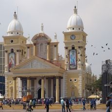
La Chiquinquirá Church
157.2 km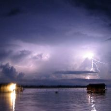
Ciénagas de Juan Manuel National Park
123.9 km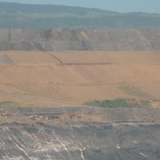
Cerrejón Formation
87 km
Baralt Theatre
158.1 km
Centro de Arte Lía de Bermúdez
157.9 km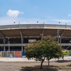
Plaza de toros Monumental de Maracaibo
156.1 km
Hospital Universitario de Maracaibo
156.5 km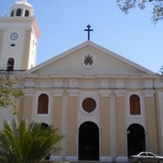
St. Peter and St. Paul Cathedral, Maracaibo
158.2 km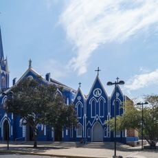
Saint Barbara Church (Maracaibo)
157.8 km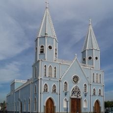
Church of St. Lucia
158.6 km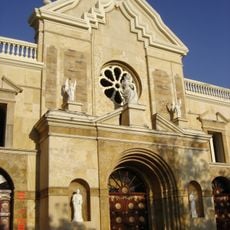
Catedral de Riohacha
130.1 km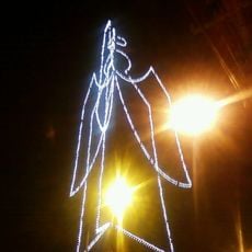
Ángel de Amparo
153.8 km
Cerro Pintado
14.9 km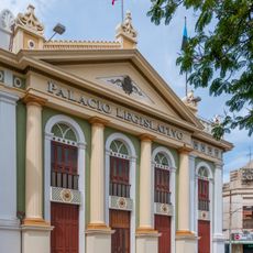
Palacio Legislativo del Zulia
158.2 km
Costeño beach
132.8 km
Cemetery El Cuadrado de Maracaibo
156.9 km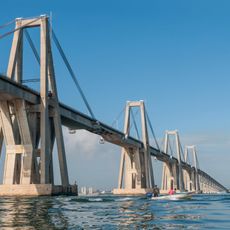
General Rafael Urdaneta Bridge
160.4 km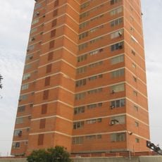
Edificio Padilla
157.5 km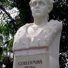
Bust of Queen Wilhelmina
156.7 km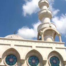
Mosque of Omar Ibn Al-Khattab
140.2 km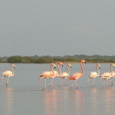
Flamingos Fauna and Flora Sanctuary
112.9 km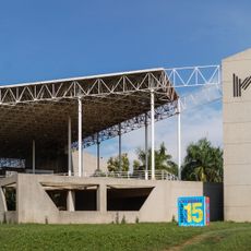
Zulian Museum of Contemporary Art
156.2 km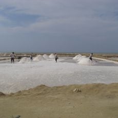
Salina de San Juan
157 km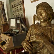
Casa del Telegrafista
129.4 km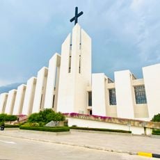
Cathedral of Ecce Homo, Valledupar
26.5 km
Playa Nudista
147.1 kmReviews
Visited this place? Tap the stars to rate it and share your experience / photos with the community! Try now! You can cancel it anytime.
Discover hidden gems everywhere you go!
From secret cafés to breathtaking viewpoints, skip the crowded tourist spots and find places that match your style. Our app makes it easy with voice search, smart filtering, route optimization, and insider tips from travelers worldwide. Download now for the complete mobile experience.

A unique approach to discovering new places❞
— Le Figaro
All the places worth exploring❞
— France Info
A tailor-made excursion in just a few clicks❞
— 20 Minutes