
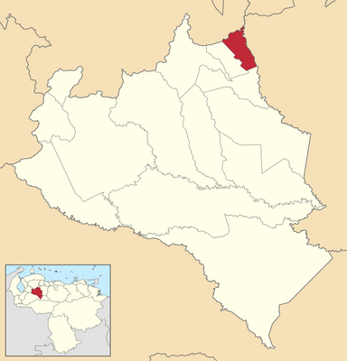
San Rafael de Onoto, municipality in the state of Portuguesa, Venezuela
Location: Portuguesa
Elevation above the sea: 161 m
Website: http://sanrafaeldeonoto-portuguesa.gob.ve
GPS coordinates: 9.67521,-68.97268
Latest update: March 27, 2025 02:30
Cerro María Lionza Natural Monument
43.6 km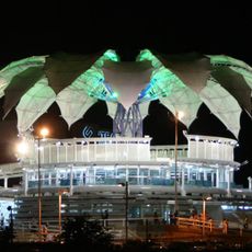
Flor de Venezuela
56.2 km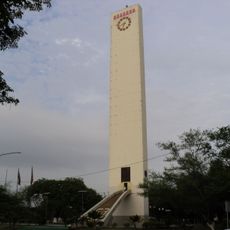
Obelisco de Barquisimeto
60.6 km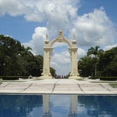
Arco del triunfo de carabobo
96.2 km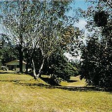
Yacambú National Park
76.3 km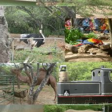
Bararida Zoological and Botanical Park
57.7 km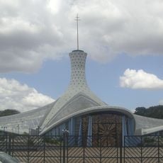
Barquisimeto Cathedral
58.6 km
Terepaima National Park
33 km
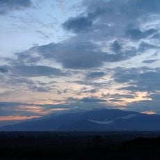
Volcán de Sanaré
68.1 km
Estadio Metropolitano de Fútbol de Lara
44.6 km
Yurubí National Park
95.8 km
Cumaripa Reservoir Recreational Park
55.7 km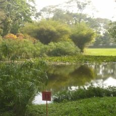
Exotic Tropical Flora Park
79.6 km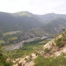
Loma de León Natural Monument
57.8 km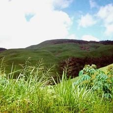
Tirgua National Park
39.5 km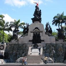
Altar de la Patria
95.7 km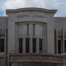
Teatro Juares
57.5 km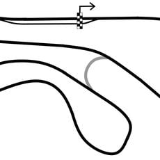
San Carlos Circuit
46 km
La Blanquera
41.6 km
Cuatro de Barquisimeto
55.3 km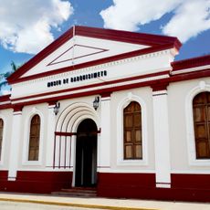
Barquisimeto Museum
57.2 km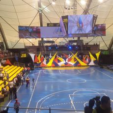
Domo Bolivariano
59.8 km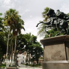
Plaza Bolívar
57.3 km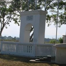
Arco de Taguanes
81.4 km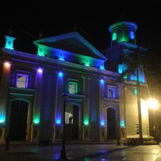
Cathedral of the Immaculate Conception
42 km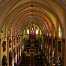
Basílica del Santo Cristo de la Gracia
58.4 km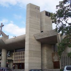
Catedral de San Felipe
78.5 km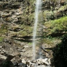
El Guache National Park
65.6 kmReviews
Visited this place? Tap the stars to rate it and share your experience / photos with the community! Try now! You can cancel it anytime.
Discover hidden gems everywhere you go!
From secret cafés to breathtaking viewpoints, skip the crowded tourist spots and find places that match your style. Our app makes it easy with voice search, smart filtering, route optimization, and insider tips from travelers worldwide. Download now for the complete mobile experience.

A unique approach to discovering new places❞
— Le Figaro
All the places worth exploring❞
— France Info
A tailor-made excursion in just a few clicks❞
— 20 Minutes