
Nezahualcóyotl Municipality, municipality of México state
Location: State of Mexico
Capital city: Ciudad Nezahualcóyotl
Elevation above the sea: 2,232 m
Shares border with: Ecatepec de Morelos, Texcoco Municipality, Chimalhuacán, La Paz, Mexico City
GPS coordinates: 19.42500,-99.02500
Latest update: May 26, 2025 19:17

Estadio GNP Seguros
7.8 km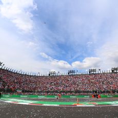
Autódromo Hermanos Rodríguez
7.1 km
Palacio de los Deportes
8.1 km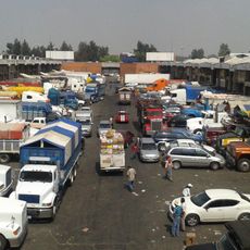
Central de Abasto, Mexico City
8.8 km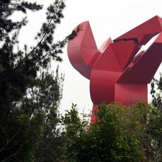
Coyote en Ayuno
2.8 km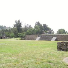
Chimalhuacán
8.2 km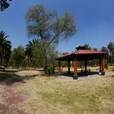
Bosque de San Juan de Aragón
6.5 km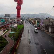
Chimalli Warrior
4.5 km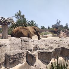
Zoológico de San Juan de Aragón
7.3 km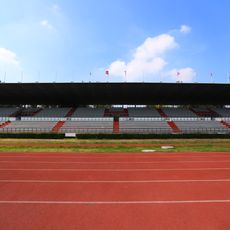
Municipal Stadium
7.6 km
La Nueva Viga Market
9.8 km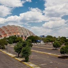
Colonia Granjas México
8.8 km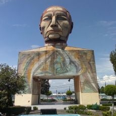
Cabeza de Juárez
4.9 km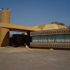
Museo Fuego Nuevo
11 km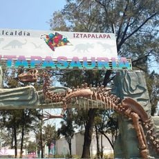
Iztapasauria
9.3 km
Museo del Fuego Nuevo
11 km
Preventive Care Traveler's Clinic
5.1 km
Zona Arqueológica de Chimalhuacán
8.2 km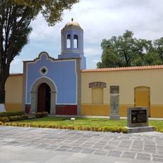
Museo Chimaltonalli
8.5 km
Jardín Botánico Medicinal "De la Cruz-Badiano" UNAM FES Zaragoza
5.9 km
Museo de Historia Natural - Parque del Pueblo
4.1 km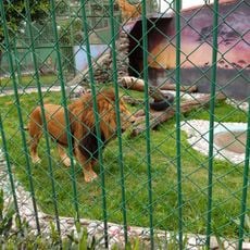
Locomotora
4.2 km
Kiosko Mexico
2.8 km
Monumento Álvaro Obregón
6 km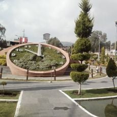
Rancho el Molino
8.5 km
Yancuic - Museo Interactivo Infantil y Juvenil
9.8 km
Propaac
4.3 km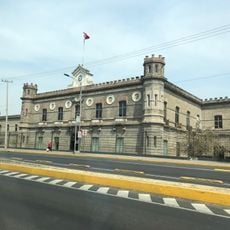
Palácio Negro de Lecumberri, cárcel antigua
9.3 kmReviews
Visited this place? Tap the stars to rate it and share your experience / photos with the community! Try now! You can cancel it anytime.
Discover hidden gems everywhere you go!
From secret cafés to breathtaking viewpoints, skip the crowded tourist spots and find places that match your style. Our app makes it easy with voice search, smart filtering, route optimization, and insider tips from travelers worldwide. Download now for the complete mobile experience.

A unique approach to discovering new places❞
— Le Figaro
All the places worth exploring❞
— France Info
A tailor-made excursion in just a few clicks❞
— 20 Minutes