Enable Location

We need your location to show you interesting places around you

Discover nearby places

Find interesting locations and hidden gems around you

Precise directions

Get accurate directions and distances to places

Your location is never shared with other users. It's only used when you tap the location button.

San Ángel

Log in to your account

Start exploring — it's free

Trusted by 62,117 travelers worldwide

Continue with Google
Continue with Apple
or

We will send you a code to connect

By continuing, you accept our Terms and Conditions and our Privacy Policy

Check your inbox

We've sent a pincode in your inbox. Please enter the code below.

San Ángel

San Ángel, Colonial neighborhood in Álvaro Obregón, Mexico.

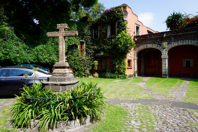
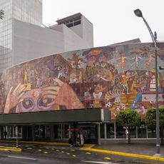
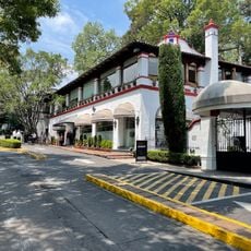
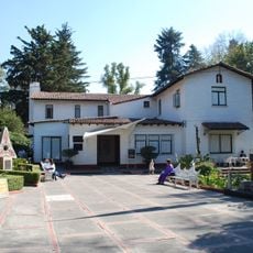
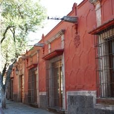
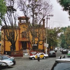
San Ángel is a neighborhood in Álvaro Obregón defined by cobblestone streets and colonial-era buildings. Large mansions decorated with painted ceramic tiles and wooden doors line the streets, with art galleries, boutique shops, and dining spots woven between them.

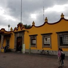
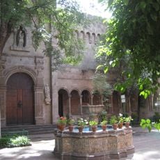
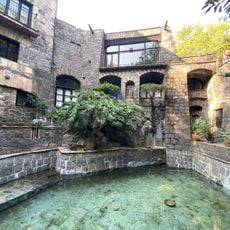
The neighborhood grew from a rural settlement called Tenanitla, which was transformed in 1613 into a monastery complex run by the Carmelite order. Over time, it developed into an affluent residential area as Mexico City expanded southward.

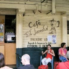
The Saturday art market at Plaza San Jacinto draws visitors seeking direct contact with local artists and craftspeople. The galleries nearby showcase works spanning colonial periods and contemporary Mexican creation.

The neighborhood connects well to Mexico City's public transportation and is easily explored on foot since most attractions cluster nearby. Restaurants, cafés, and shops concentrate around Plaza del Carmen, making orientation straightforward.

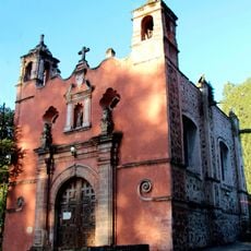
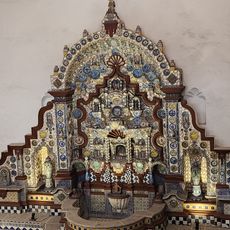
The El Carmen complex features three ceramic-tiled domes visible from different vantage points across the city. A museum inside the former monastery since 1955 displays objects from the Carmelite era.

The community of curious travelers

AroundUs brings together thousands of curated places, local tips, and hidden gems, enriched daily by 60,000 contributors worldwide.

Start exploring
Location
GPS coordinates
19.34700,-99.18700
Latest update
December 7, 2025 10:05
« San Ángel - Colonial neighborhood in Álvaro Obregón, Mexico » is provided by Around Us (aroundus.com). Images and texts are derived from Wikimedia project under a Creative Commons license. You are allowed to copy, distribute, and modify copies of this page, under the conditions set by the license, as long as this note is clearly visible.

Discover hidden gems everywhere you go!

From secret cafés to breathtaking viewpoints, skip the crowded tourist spots and find places that match your style. Our app makes it easy with voice search, smart filtering, route optimization, and insider tips from travelers worldwide. Download now for the complete mobile experience.

Around Us App Screenshot

A unique approach to discovering new places

Le Figaro

All the places worth exploring

France Info

A tailor-made excursion in just a few clicks

20 Minutes

Around Us
Travel Guide & Maps
Download

Send to your phone

QR Code
1

Open the camera app on your mobile.

2

Point at the QR code with your camera. A notification will appear.

3

Tap the notification to open the link.