Enable Location

We need your location to show you interesting places around you

Discover nearby places

Find interesting locations and hidden gems around you

Precise directions

Get accurate directions and distances to places

Your location is never shared with other users. It's only used when you tap the location button.

Tlacotalpan Municipality

Log in to your account

Start exploring — it's free

Trusted by 62,076 travelers worldwide

Continue with Google
Continue with Apple
or

We will send you a code to connect

By continuing, you accept our Terms and Conditions and our Privacy Policy

Check your inbox

We've sent a pincode in your inbox. Please enter the code below.

Tlacotalpan Municipality

Tlacotalpan Municipality, Municipality in Veracruz, Mexico.

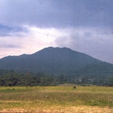
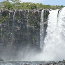
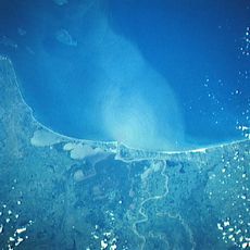
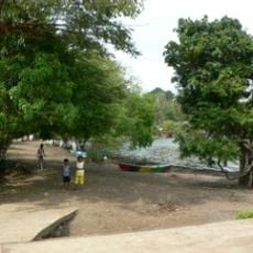
Tlacotalpan Municipality spans coastal territory in Veracruz characterized by multiple waterways and agricultural areas throughout the Papaloapan River region. The landscape is shaped by river systems that flow through farming communities and settlements.

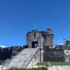
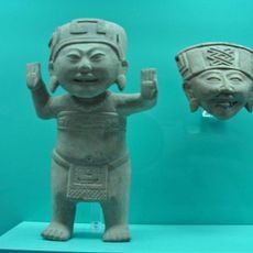
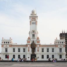
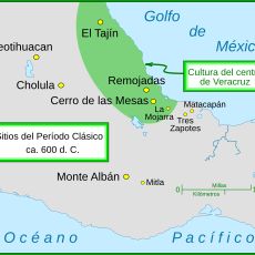
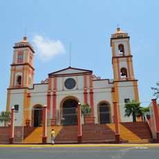
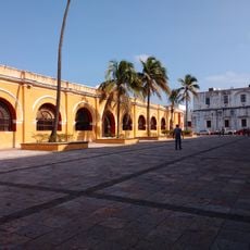
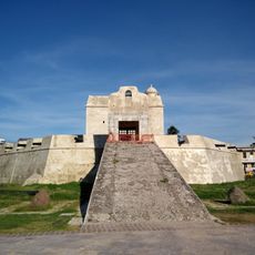
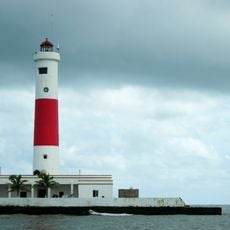
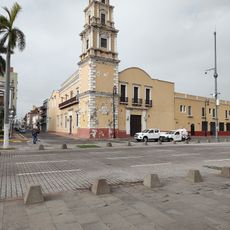
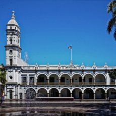
The territory was originally inhabited by Totonac peoples before Spanish colonizers established it as a significant river port during the 16th century. This early colonial settlement shaped how the region developed and functioned.

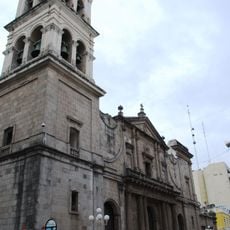
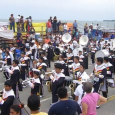
Local communities celebrate their heritage through annual festivals, particularly Candlemas which takes place from January to February each year. These gatherings reflect how people in this territory maintain connections to their past.

The municipality encompasses 185 communities spread across the territory, each accessible through local services and infrastructure. Schools and public facilities throughout the area provide education and basic services to residents.

The region maintains a network of river routes that have supported commerce and movement for centuries, remaining central to how people and goods travel today. These waterways form the backbone of daily life and economic activity throughout the territory.

The community of curious travelers

AroundUs brings together thousands of curated places, local tips, and hidden gems, enriched daily by 60,000 contributors worldwide.

Start exploring
Location
Capital city
Tlacotalpan
Elevation above the sea
10 m
GPS coordinates
18.61670,-95.66670
Latest update
December 6, 2025 17:44
Discover Mexico: sculpture gardens, caves, islands and Mayan ruins

Mexico offers much more than the usual travel spots. This collection includes sculpture gardens, caves, islands, colonial towns, volcanoes, Mayan sites, oases, lakes, and protected areas across the country. You will find mineral pools in Oaxaca, desert landscapes in Sonora, underground caves,...

« Tlacotalpan Municipality - Municipality in Veracruz, Mexico » is provided by Around Us (aroundus.com). Images and texts are derived from Wikimedia project under a Creative Commons license. You are allowed to copy, distribute, and modify copies of this page, under the conditions set by the license, as long as this note is clearly visible.

Discover hidden gems everywhere you go!

From secret cafés to breathtaking viewpoints, skip the crowded tourist spots and find places that match your style. Our app makes it easy with voice search, smart filtering, route optimization, and insider tips from travelers worldwide. Download now for the complete mobile experience.

Around Us App Screenshot

A unique approach to discovering new places

Le Figaro

All the places worth exploring

France Info

A tailor-made excursion in just a few clicks

20 Minutes

Around Us
Travel Guide & Maps
Download

Send to your phone

QR Code
1

Open the camera app on your mobile.

2

Point at the QR code with your camera. A notification will appear.

3

Tap the notification to open the link.