Enable Location

We need your location to show you interesting places around you

Discover nearby places

Find interesting locations and hidden gems around you

Precise directions

Get accurate directions and distances to places

Your location is never shared with other users. It's only used when you tap the location button.

Log in to your account

Start exploring — it's free

Trusted by 68,080 travelers worldwide

Continue with Google
Continue with Apple
or

We will send you a code to connect

By continuing, you accept our Terms and Conditions and our Privacy Policy

Check your inbox

We've sent a pincode in your inbox. Please enter the code below.

Tetela de Ocampo Municipality
Discussion Reviews Photo
16.4k Popularity

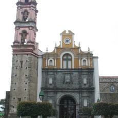
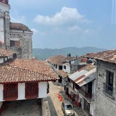
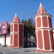
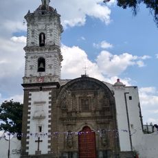
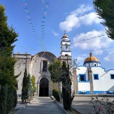
Tetela de Ocampo Municipality, Municipal administrative center in Sierra Norte region, Puebla, Mexico

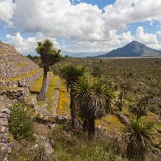
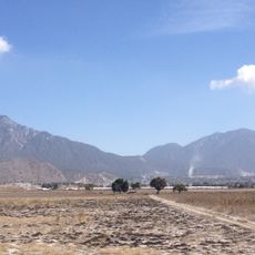
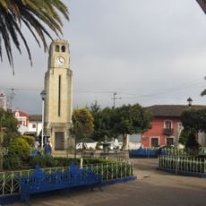
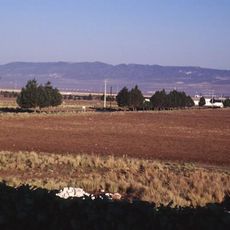
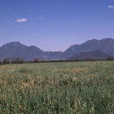
Tetela de Ocampo is a municipality in the Sierra Norte region of Puebla that spreads across mountainous terrain with multiple scattered settlements. The area features a landscape of rolling hills punctuated by small communities and agricultural lands typical of the central highlands.

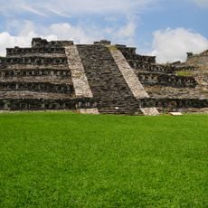
The area was founded by four Chichimeca tribes and received town status in 1861. The name Ocampo was added later to honor the politician Melchor Ocampo.

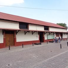
The name Tetela comes from Nahuatl and means "place of many hills," reflecting indigenous roots that continue through local crafts and community celebrations today. People here maintain their connection to the land through regional markets where artisans sell handmade goods and farm products.

Visit during warmer months since mountain paths can become slippery during rain. Wear comfortable hiking shoes and bring enough water, as the altitude and terrain require steady footing.

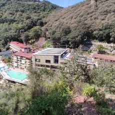
The Grutas de Acocomoca cave system in Carreragco features an eco-hotel offering guided tours through underground chambers. Nearby, visitors can still access old sulfur and gold mines that reveal the area's mining heritage.

The community of curious travelers

AroundUs brings together thousands of curated places, local tips, and hidden gems, enriched daily by 60,000 contributors worldwide.

Start exploring
GPS coordinates
19.81146,-97.78726
Latest update
December 7, 2025 19:27
Reviews
Share your experience

No review yet

Discussions
Start a discussion...

No discussion yet

« Tetela de Ocampo Municipality - Municipal administrative center in Sierra Norte region, Puebla, Mexico » is provided by Around Us (aroundus.com). Images and texts are derived from Wikimedia project under a Creative Commons license. You are allowed to copy, distribute, and modify copies of this page, under the conditions set by the license, as long as this note is clearly visible.

Discover hidden gems everywhere you go!

From secret cafés to breathtaking viewpoints, skip the crowded tourist spots and find places that match your style. Our app makes it easy with voice search, smart filtering, route optimization, and insider tips from travelers worldwide. Download now for the complete mobile experience.

Around Us App Screenshot

A unique approach to discovering new places

Le Figaro

All the places worth exploring

France Info

A tailor-made excursion in just a few clicks

20 Minutes

Around Us
Travel Guide & Maps
Download

Send to your phone

QR Code
1

Open the camera app on your mobile.

2

Point at the QR code with your camera. A notification will appear.

3

Tap the notification to open the link.