
Alto Lucero, city in the Mexican state of Veracruz
Location: Alto Lucero de Gutiérrez Barrios Municipality
Elevation above the sea: 1,126 m
GPS coordinates: 19.62472,-96.73417
Latest update: March 7, 2025 19:09
Cofre de Peru en tanga
45.8 km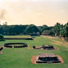
Cempoala
39.9 km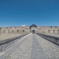
San Carlos Fortress
53.8 km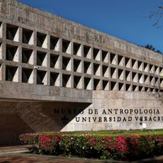
Museo de Antropología de Xalapa
22.2 km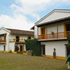
Hacienda del Lencero
17.9 km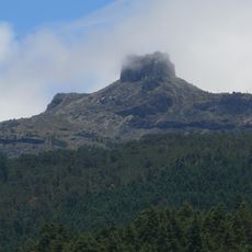
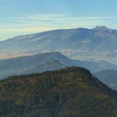
Parque Nacional Cofre de Perote
45.8 km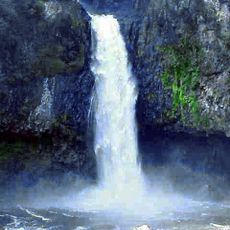
Cascada de Texolo
36.9 km
Parque Juárez
22.7 km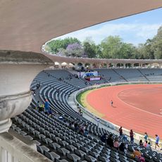
Estadio Xalapeño
22.6 km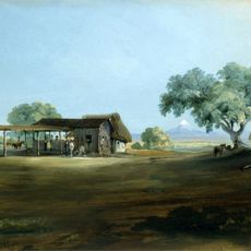
Manga de Clavo
59.4 km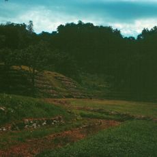
El Cuajilote
54.9 km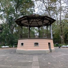
Parque Los Berros
22.2 km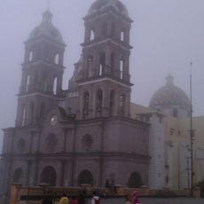
Catedral de Teziutlán
69 km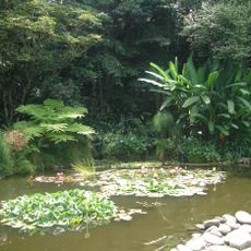
Jardín Botánico Francisco J. Clavijero
46.4 km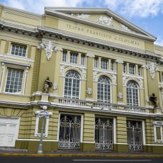
Teatro Francisco Javier Clavijero
78.1 km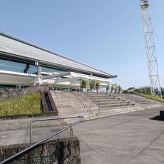
Tlaqná
22.8 km
Park Doña Falla
20.3 km
Museo Bola de Oro Finca Roma
23.3 km
Museum of Orchids
30.2 km
Pinacoteca Diego Rivera
22.8 km
Los Humeros
75.3 km
Las Cumbres
77.2 km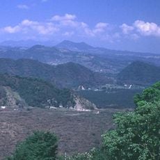
Naolinco Volcanic Field
5.3 km
La Gloria
63.3 km
La Antigua, Santuario de los Sabalos
54.9 km
Biblioteca Carlos Fuentes
22.8 km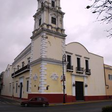
Benito Juárez Lighthouse
78.3 km
Centro Veracruzano de las Artes “Hugo Argüelles”
78.2 kmReviews
Visited this place? Tap the stars to rate it and share your experience / photos with the community! Try now! You can cancel it anytime.
Discover hidden gems everywhere you go!
From secret cafés to breathtaking viewpoints, skip the crowded tourist spots and find places that match your style. Our app makes it easy with voice search, smart filtering, route optimization, and insider tips from travelers worldwide. Download now for the complete mobile experience.

A unique approach to discovering new places❞
— Le Figaro
All the places worth exploring❞
— France Info
A tailor-made excursion in just a few clicks❞
— 20 Minutes