Parque Nacional Cofre de Perote, National park in Veracruz, Mexico
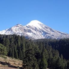
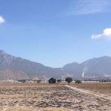
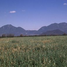
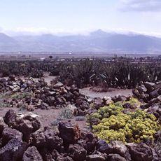
Parque Nacional Cofre de Perote covers 11,700 ha of pine and oyamel fir forest on the slopes of the Cofre de Perote, an extinct volcano of the Cordillera Neovolcánica. The mountain's lower and middle slopes are bare grey and brown rock with bands of darker stone and patches of low vegetation, narrowing to a steep, blocky dark rock peak often touched by low white cloud. The park spans the municipalities of Perote, Xico, Ayahualulco and Acajete.
The park was created by official decree on 4 May 1937, covering 11,700 hectares across the municipalities of Perote, Xico, Ayahualulco and Acajete. Before protection, landowners controlled and exploited the area; after the large estates, ejidos such as Los Altos, El Escobillo, El Conejo and Los Pescados appeared on the western slope toward the highlands, while the eastern slope developed differently around vacant land.
The mountain is also called Nauhcampatépetl, a Nahuatl name meaning 'four-sided mountain'. The park's forests of pine and oyamel fir have long been used by communities in Perote, Xico, Ayahualulco and Acajete, where ejidos (communal lands) were established on the western slopes after the era of large haciendas.
The area is best accessed on foot, with El Conejo village serving as the main starting point for hikes. The best time to visit is during drier months when trails are easier to navigate.
The mountain is known as Nauhcampatépetl and ranks among the highest peaks in the country. Water flowing from its slopes supplies hundreds of thousands of people across the central region.
The community of curious travelers
AroundUs brings together thousands of curated places, local tips, and hidden gems, enriched daily by 93,762 contributors worldwide.