México, Physical landscape patterns in North America
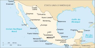
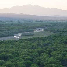
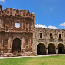
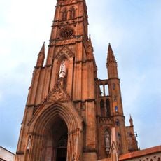
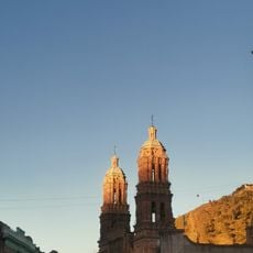
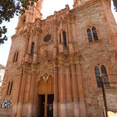
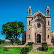
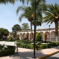
México is a country in North America that stretches across mountainous regions, coastal plains, deserts, plateaus, and islands in the Pacific and the Caribbean. The terrain ranges from dry scrubland in the north to dense rainforest in the south, with several mountain chains running through the interior.
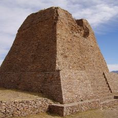
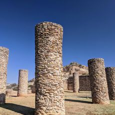
The terrain formed through movements between the North American, Pacific, and Cocos plates over millions of years. These forces shaped the mountain ranges and created volcanic zones that remain active today.
In the northern desert zones, people often wear wide hats and light colors to cope with the sun, while in the southern rainforest areas, lighter fabrics help with humidity. Markets and festivals reflect the surrounding land, with cactus dishes and grilled meat common in the north, and tropical fruit and handwoven textiles more frequent in the south.
The country shares borders with the United States to the north and Guatemala and Belize to the south, and it contains 31 states and one federal district. Climate conditions vary greatly by region, with hotter temperatures along the coasts and cooler areas at higher elevations.
The area sits on the Ring of Fire and holds 48 active volcanoes, including Popocatépetl at roughly 5426 meters (17800 feet). Its eruptions occasionally send ash clouds over nearby cities, reminding people that the ground beneath them is still shifting.
The community of curious travelers
AroundUs brings together thousands of curated places, local tips, and hidden gems, enriched daily by 60,000 contributors worldwide.