Calabacillas, human settlement in Mexico
Location: Bustamante Municipality
Elevation above the sea: 1,147 m
GPS coordinates: 23.21778,-99.73500
Latest update: March 16, 2025 15:46
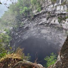
Cave of Swallows
191.6 km
Cascada de Tamul
167.7 km
Zacatón
163.1 km
Wirikuta
125.8 km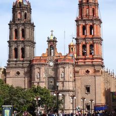
St. Louis the King Cathedral, San Luis Potosí
174.1 km
Tamtoc
172.2 km
El Cielo Biosphere
68.7 km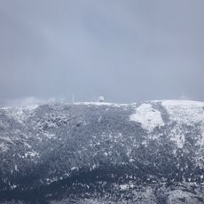
Cerro El Potosi
191.2 km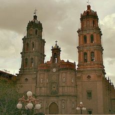
Historical centre of San Luis Potosí City
174.2 km
Teatro de la Paz
174 km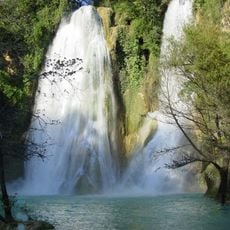
Cascada de Minas Viejas
125.3 km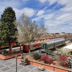
Train museum
173.7 km
Museo Leonora Carrington
174.9 km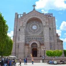
Immaculate Conception Cathedral, Matehuala
104.4 km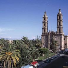
Basílica de Nuestra Señora de Guadalupe, San Luis Potosí
175 km
Santuario de Torrecitas
175.9 km
Museo
174.7 km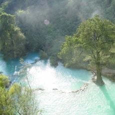
El Salto
79 km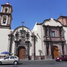
Capilla de Loreto
174.3 km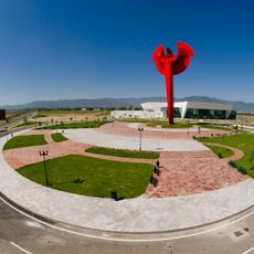
Águila Bicentenario
88 km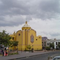
Museo Regional Potosino
174.5 km
Autódromo Potosino
161.5 km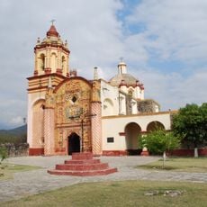
San Miguel Concá mission
197.6 km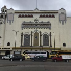
Cineteca Alameda
174 km
Sacred Heart of Jesus Cathedral, Ciudad Victoria
82.6 km
Nuestra Señora de la Luz de Tancoyol mission
206.6 km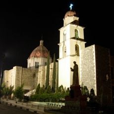
Iglesia de San Antonio de Padua
24.7 km
Jardín Botánico y Arboreto de Alta Cima
79.3 kmReviews
Visited this place? Tap the stars to rate it and share your experience / photos with the community! Try now! You can cancel it anytime.
Discover hidden gems everywhere you go!
From secret cafés to breathtaking viewpoints, skip the crowded tourist spots and find places that match your style. Our app makes it easy with voice search, smart filtering, route optimization, and insider tips from travelers worldwide. Download now for the complete mobile experience.

A unique approach to discovering new places❞
— Le Figaro
All the places worth exploring❞
— France Info
A tailor-made excursion in just a few clicks❞
— 20 Minutes