Tamaulipas, State in northeastern Mexico
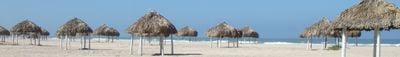
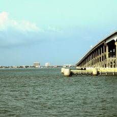
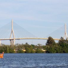
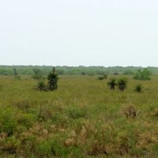
Tamaulipas is a state in northeastern Mexico that borders the Gulf of Mexico and Texas. The territory includes coastal strips, wide plains, and mountain areas in the Sierra Madre Oriental, with the Río Bravo forming the northern boundary.
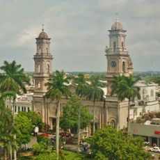
The Spanish crown established the province of Nuevo Santander here in 1746 after subduing territories of the Huastec and Chichimec peoples. Tamaulipas took its present form as a Mexican state in 1824 following independence.
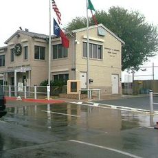
The name comes from the Tamaulipec people, an indigenous group who lived here before Spanish colonists arrived. Along the border, many residents speak both English and Spanish, and daily exchange with Texas shapes the way of life in many frontier towns.
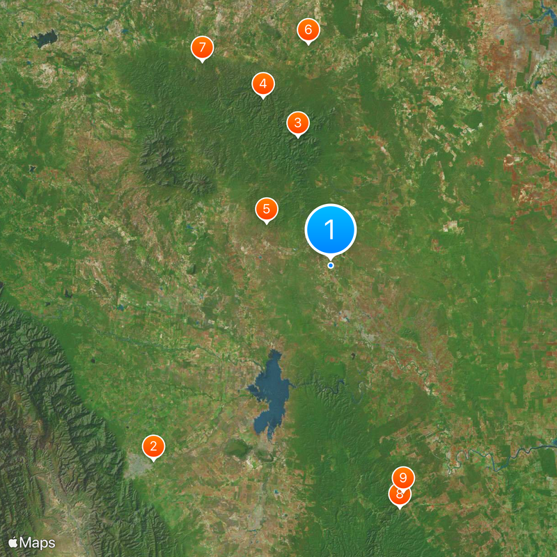
The main cities sit along the border and coastline, while the interior remains thinly populated and often requires long drives between locations. Border control and waiting times can vary depending on the time of day and weekday.
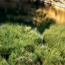
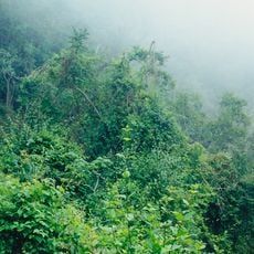
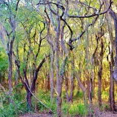
The El Cielo Biosphere Reserve shelters orchids and bromeliads in a rare cloud forest that forms in the higher elevations of the Sierra Madre Oriental. Black bears and various bird species that are uncommon elsewhere in the region live here.
The community of curious travelers
AroundUs brings together thousands of curated places, local tips, and hidden gems, enriched daily by 60,000 contributors worldwide.