Enable Location

We need your location to show you interesting places around you

Discover nearby places

Find interesting locations and hidden gems around you

Precise directions

Get accurate directions and distances to places

Your location is never shared with other users. It's only used when you tap the location button.

Jim Wells County

Log in to your account

Start exploring — it's free

Trusted by 62,492 travelers worldwide

Continue with Google
Continue with Apple
or

We will send you a code to connect

By continuing, you accept our Terms and Conditions and our Privacy Policy

Check your inbox

We've sent a pincode in your inbox. Please enter the code below.

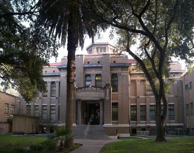
Jim Wells County, Administrative division in South Texas, United States.

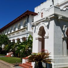
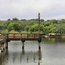
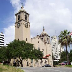
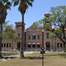
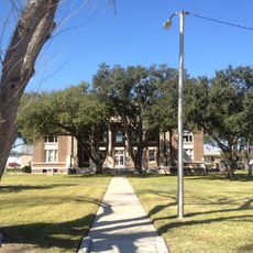
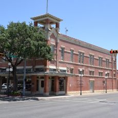
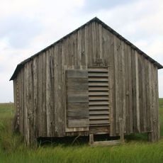
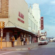
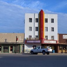
Jim Wells County is an administrative division in South Texas that extends across a broad area and includes several smaller communities with Alice as its main city. The landscape consists of relatively flat terrain with various ranch areas scattered throughout.

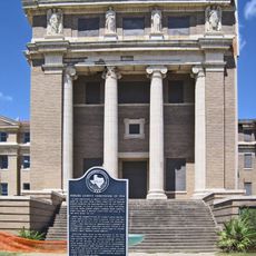
The county was established in 1911 and named after James B. Wells Jr., an influential legal and political figure in South Texas. Its creation was part of the region's administrative organization during the early 1900s.

The area is shaped by strong Hispanic traditions that show in local celebrations and everyday life. This cultural identity influences how communities come together and celebrate throughout the year.

The best time to visit is during cooler months, as the area can be hot and dry. Plan ahead to decide which communities you want to explore, since towns are spread far apart.

The county played a role in American election history during a contested Senate race where ballot counting problems occurred. This event is documented in history books and shows how local voting disputes can affect national politics.

The community of curious travelers

AroundUs brings together thousands of curated places, local tips, and hidden gems, enriched daily by 60,000 contributors worldwide.

Start exploring
Location
Inception
March 11, 1911
Capital city
Alice
Shares border with
Live Oak County, San Patricio County, Nueces County, Kleberg County, Brooks County, Duval County
GPS coordinates
27.73000,-98.09000
Latest update
December 7, 2025 10:08
Around this place
King Ranch
United States of America

King Ranch

29.1 km
USS Lexington
United States of America

USS Lexington

69.6 km
Mirador de la Flor
United States of America

Mirador de la Flor

69.3 km
Corpus Christi Harbor Bridge
United States of America

Corpus Christi Harbor Bridge

69 km
Whataburger Field
United States of America

Whataburger Field

68.6 km
Texas State Aquarium
United States of America

Texas State Aquarium

69.3 km
Lake Corpus Christi State Park
United States of America

Lake Corpus Christi State Park

42.8 km
Selena Museum
United States of America

Selena Museum

62.4 km
One Shoreline Plaza
United States of America

One Shoreline Plaza

69.2 km
Javelina Stadium
United States of America

Javelina Stadium

30.5 km
Corpus Christi Cathedral
United States of America

Corpus Christi Cathedral

68.7 km
Corpus Christi Museum of Science and History
United States of America

Corpus Christi Museum of Science and History

69 km
South Texas Botanical Gardens & Nature Center
United States of America

South Texas Botanical Gardens & Nature Center

67.9 km
Old Nueces County Courthouse
United States of America

Old Nueces County Courthouse

68.8 km
Art Museum of South Texas
United States of America

Art Museum of South Texas

69.2 km
Henrietta M. King High School
United States of America

Henrietta M. King High School

35 km
Herff-Rozelle Farm
United States of America

Herff-Rozelle Farm

62.1 km
Brooks County Courthouse
United States of America

Brooks County Courthouse

56.4 km
Corpus Christi North Beach
United States of America

Corpus Christi North Beach

70.2 km
Live Oak County Courthouse
United States of America

Live Oak County Courthouse

67 km
John B. Ragland Mercantile Company Building
United States of America

John B. Ragland Mercantile Company Building

32.5 km
Sherman Building
United States of America

Sherman Building

69 km
Malaquite Beach
United States of America

Malaquite Beach

85.2 km
Novillo Line Camp
United States of America

Novillo Line Camp

84.9 km
Ritz Theater
United States of America

Ritz Theater

69 km
Rialto Theater
United States of America

Rialto Theater

66.4 km
Centre Theatre
United States of America

Centre Theatre

68.9 km
Malaquite Pavilion
United States of America

Malaquite Pavilion

85.1 km
Show the full map
Administrative divisions
« Jim Wells County - Administrative division in South Texas, United States » is provided by Around Us (aroundus.com). Images and texts are derived from Wikimedia project under a Creative Commons license. You are allowed to copy, distribute, and modify copies of this page, under the conditions set by the license, as long as this note is clearly visible.

Discover hidden gems everywhere you go!

From secret cafés to breathtaking viewpoints, skip the crowded tourist spots and find places that match your style. Our app makes it easy with voice search, smart filtering, route optimization, and insider tips from travelers worldwide. Download now for the complete mobile experience.

Around Us App Screenshot

A unique approach to discovering new places

Le Figaro

All the places worth exploring

France Info

A tailor-made excursion in just a few clicks

20 Minutes

Around Us
Travel Guide & Maps
Download

Send to your phone

QR Code
1

Open the camera app on your mobile.

2

Point at the QR code with your camera. A notification will appear.

3

Tap the notification to open the link.