Enable Location

We need your location to show you interesting places around you

Discover nearby places

Find interesting locations and hidden gems around you

Precise directions

Get accurate directions and distances to places

Your location is never shared with other users. It's only used when you tap the location button.

Cameron County

Log in to your account

Start exploring — it's free

Trusted by 62,158 travelers worldwide

Continue with Google
Continue with Apple
or

We will send you a code to connect

By continuing, you accept our Terms and Conditions and our Privacy Policy

Check your inbox

We've sent a pincode in your inbox. Please enter the code below.

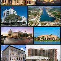
Cameron County, County in southern Texas, United States.

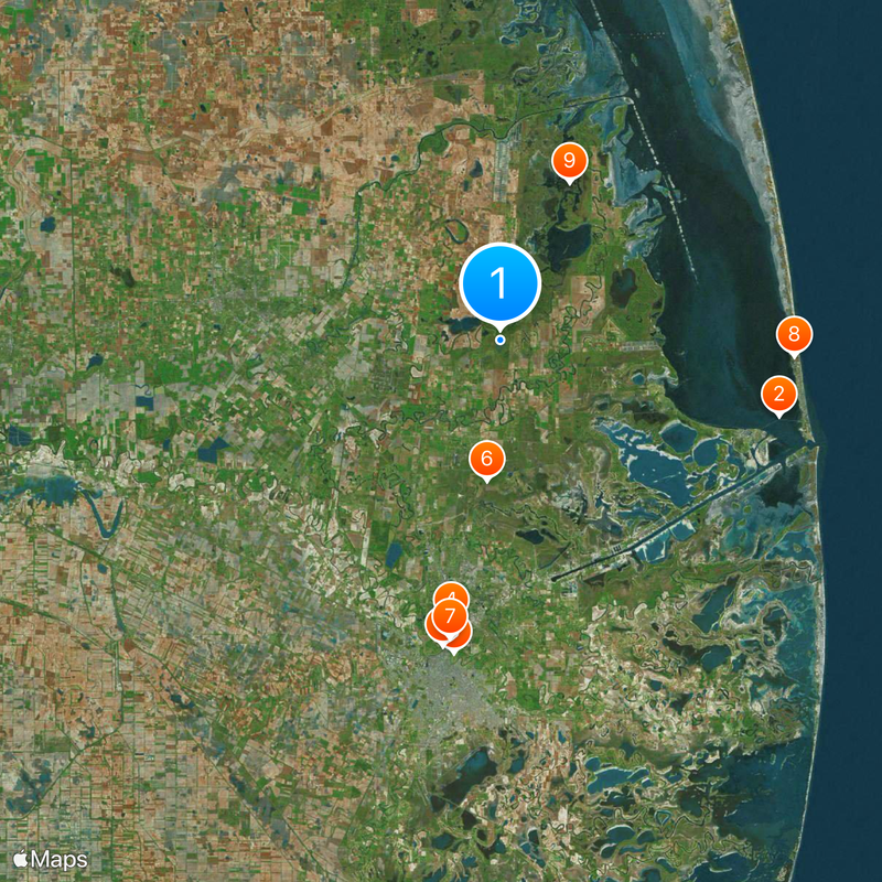
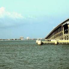
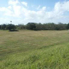
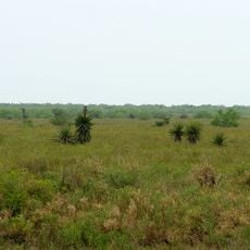
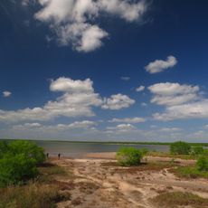
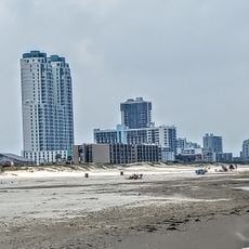
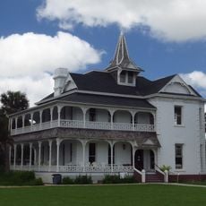
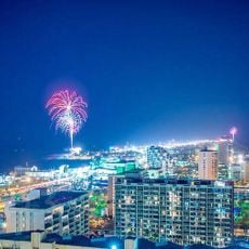
Cameron County is an administrative district in southern Texas that stretches from the Gulf of Mexico to the international border, with Brownsville as its administrative center. The landscape alternates between coastal plains, tropical vegetation, and agricultural land where citrus and cotton are grown.

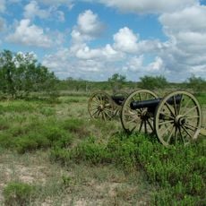
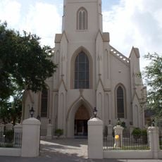
The district was established in 1848 following the Mexican-American War and named after a soldier who took part in the Texas Revolution. Early settlers farmed the land along the Rio Grande and later developed trade routes between the United States and Mexico.

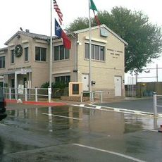
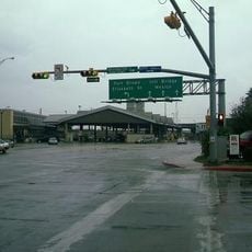
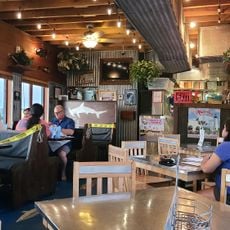
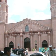
The area sits along the border with Mexico and offers visitors a chance to experience bilingual communities where Spanish and English are used in daily life. Local markets and restaurants showcase the Mexican-American cuisine and crafts of the region.

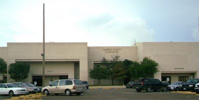
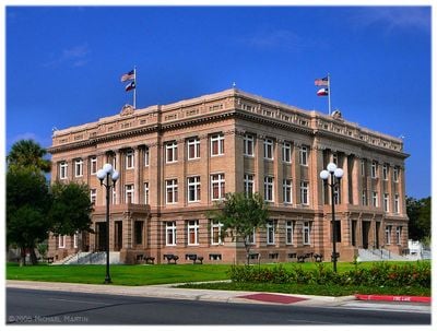
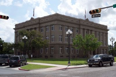
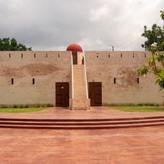
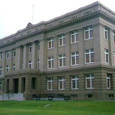
Visitors can access public offices at the Dancy Building in Brownsville for administrative matters. The territory is spread out and requires a vehicle to move between coastal towns and inland communities.

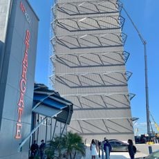
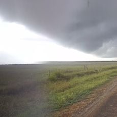
A private rocket launch facility in Boca Chica allows visitors to witness space activity from close range. The launches often draw spectators to nearby beaches, where they can see rocket engines during ascent.

The community of curious travelers

AroundUs brings together thousands of curated places, local tips, and hidden gems, enriched daily by 60,000 contributors worldwide.

Start exploring
Location
Inception
1848
Capital city
Brownsville
Shares border with
Willacy County, Matamoros, Hidalgo County
GPS coordinates
26.15000,-97.45000
Latest update
December 13, 2025 19:54
Around this place
Queen Isabella Causeway
United States of America

Queen Isabella Causeway

27.1 km
Fort Brown
United States of America

Fort Brown

29.7 km
Gladys Porter Zoo
United States of America

Gladys Porter Zoo

26.9 km
Brownsville & Matamoros International Bridge
Mexico

Brownsville & Matamoros International Bridge

29.2 km
Palo Alto Battlefield National Historical Park
United States of America

Palo Alto Battlefield National Historical Park

13.2 km
Gateway International Bridge
Mexico

Gateway International Bridge

28.4 km
Sea Turtle, Inc.
United States of America

Sea Turtle, Inc.

27.6 km
Laguna Atascosa National Wildlife Refuge
United States of America

Laguna Atascosa National Wildlife Refuge

16.2 km
Mexico

Veterans International Bridge at Los Tomates

29.8 km
Lower Rio Grande Valley National Wildlife Refuge
United States of America

Lower Rio Grande Valley National Wildlife Refuge

40.3 km
STARGATE
United States of America

STARGATE

32 km
Pier 19
United States of America

Pier 19

29.1 km
Isla Blanca Park
United States of America

Isla Blanca Park

30.2 km
Point Isabel Lighthouse
United States of America

Point Isabel Lighthouse

25.5 km
Sabal Palm Sanctuary
United States of America

Sabal Palm Sanctuary

33.2 km
Palmito Ranch Battlefield
United States of America

Palmito Ranch Battlefield

28 km
Parque Olímpico
Mexico

Parque Olímpico

29.9 km
Our Lady of Refuge Cathedral, Matamoros
Mexico

Our Lady of Refuge Cathedral, Matamoros

30.5 km
Mexico

Free Trade International Bridge

31.8 km
United States of America

Resaca de la Palma State Park

21.5 km
Fuerte Castamata
Mexico

Fuerte Castamata

30.7 km
Immaculate Conception Cathedral
United States of America

Immaculate Conception Cathedral

27.9 km
Resaca de la Palma Battlefield
United States of America

Resaca de la Palma Battlefield

23.9 km
Old Brulay Plantation
United States of America

Old Brulay Plantation

33.3 km
Gravity Park
United States of America

Gravity Park

28.7 km
Cameron County Courthouse
United States of America

Cameron County Courthouse

27.8 km
Brownsville - Veterans Port of Entry
United States of America

Brownsville - Veterans Port of Entry

29.2 km
Bobz World
United States of America

Bobz World

9 km
Show the full map
Administrative divisions
« Cameron County - County in southern Texas, United States » is provided by Around Us (aroundus.com). Images and texts are derived from Wikimedia project under a Creative Commons license. You are allowed to copy, distribute, and modify copies of this page, under the conditions set by the license, as long as this note is clearly visible.

Discover hidden gems everywhere you go!

From secret cafés to breathtaking viewpoints, skip the crowded tourist spots and find places that match your style. Our app makes it easy with voice search, smart filtering, route optimization, and insider tips from travelers worldwide. Download now for the complete mobile experience.

Around Us App Screenshot

A unique approach to discovering new places

Le Figaro

All the places worth exploring

France Info

A tailor-made excursion in just a few clicks

20 Minutes

Around Us
Travel Guide & Maps
Download

Send to your phone

QR Code
1

Open the camera app on your mobile.

2

Point at the QR code with your camera. A notification will appear.

3

Tap the notification to open the link.