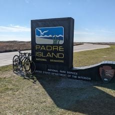
Padre Island National Seashore, National Seashore in South Texas, United States.
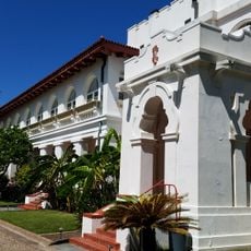
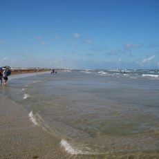
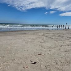
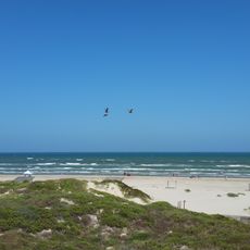
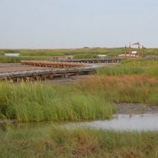
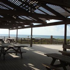
Padre Island National Seashore is a coastal reserve along the Gulf of Mexico that spans three counties and combines beaches, dunes, wetlands, and coastal prairies. The Malaquite Visitor Center provides maps, exhibits, and information about water conditions while serving as the main entry point for beach activities.
Padre Island National Seashore was designated a national seashore in 1968, the fourth in the United States, and is administered by the National Park Service. The protected strip covers 70 miles (110 km) of the northern island, including 65.5 miles of Gulf beach, and lies in Kleberg, Kenedy and Willacy counties, with most of the land in Kenedy County. The island itself is geologically young, formed about 4,500 to 5,000 years ago according to radiocarbon dating of shells.
The island's name comes from Father José Nicolás Ballí, a missionary priest who owned it and founded the first mission in present-day Cameron County. Since 1978 park staff have worked to re-establish a Kemp's ridley nesting beach; the first two turtles returned to lay eggs in 1992, and 81 nests were recorded on North Padre Island in 2007.
The area is most accessible during warmer months, with summer bringing the highest visitor numbers and activity levels. Plan for sand, wind, and intense sun exposure by bringing water, shade, and sun protection for your visit.
A program to re-establish a Kemp's ridley nesting beach began here in 1978; the first two turtles from it returned to lay eggs in 1992. In 2007, 81 nests were recorded on North Padre Island, and 10,594 hatchlings were released along the Texas coast that year.
The community of curious travelers
AroundUs brings together thousands of curated places, local tips, and hidden gems, enriched daily by 94,532 contributors worldwide.