Trinity River, Natural waterway in Texas, US
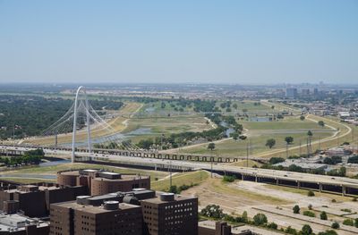
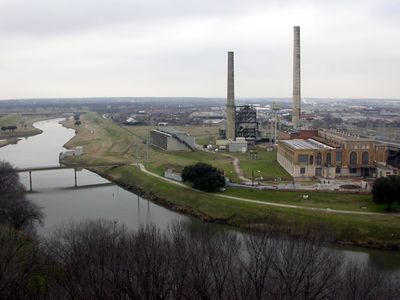
Trinity River is a waterway in Texas that stretches 710 miles (1142 kilometers) across the state, flowing from north of Dallas to Trinity Bay near the Gulf of Mexico. The river crosses forests, plains, and urban areas, with its bed widening in some sections and winding through dense banks in others.
Spanish explorer Alonso de León gave the waterway its name, La Santísima Trinidad, in the late 17th century during colonial explorations of present-day Texas. Later, steamboat traffic and trade used the waterway before railroads and highways changed its role.
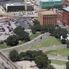
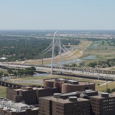
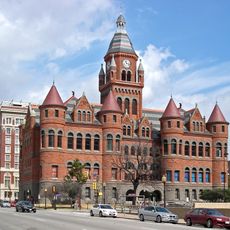
The river forms the geographic backbone for downtown Dallas and smaller communities along its course, which maintain fishing traditions, riverbank gatherings, and walking trails. Many residents in these areas connect their local identity to the waterway, which enabled trade and transport for centuries.
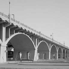
Many parks and access points along the banks provide opportunities for fishing, paddling, hiking, and observing wildlife throughout the year. During wet weather, water levels can rise quickly, so visitors should check current conditions before approaching the banks.
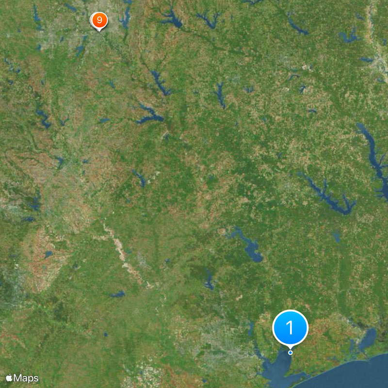
The watershed lies entirely within Texas borders and covers 15589 square miles (40370 square kilometers) of varied landscapes. The mouth forms an important ecological transition zone where fresh water meets the salty water of the bay and provides nutrients for fish and birds.
The community of curious travelers
AroundUs brings together thousands of curated places, local tips, and hidden gems, enriched daily by 60,000 contributors worldwide.