Napoleonville

Log in to your account

AroundUs is a community-driven map of interesting places, built by curious explorers like you. It grows with every review, story, and photo you share.
Connect to save your favorite spots, contribute locations, and create personalized routes.
Continue with Google
Continue with Apple
Continue with X
Continue with Facebook
Continue with email
By continuing, you accept our Terms and Conditions and our Privacy Policy
Create an account
Add to collection
Map
Suggest a change
Share

Napoleonville, Administrative village in Louisiana, United States

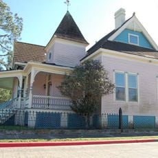
Napoleonville is a small administrative village in Louisiana that serves as the seat of Assumption Parish and sits along Bayou Lafourche. The settlement is located at an elevation of about 6 meters above sea level and houses a population of around 540 residents.

The village was originally called Canal in 1807 but was renamed by Pierre Charlet, a French veteran who had served under Napoleon Bonaparte. This change of name reflects the settlement's connection to its French founder and his admiration for the military leader.

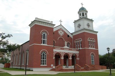
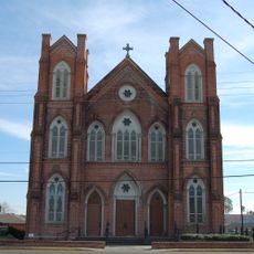
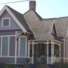
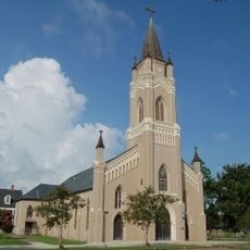
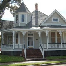
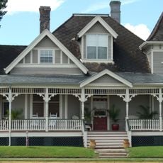
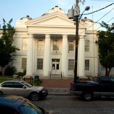
The village reflects its French origins through the courthouse architecture and how residents connect with Bayou Lafourche in their daily lives. You can sense these traditions woven into the local community and the way public spaces are used.

The village is small and easy to navigate on foot, making it straightforward to explore and find your way around. Most services and government buildings are accessible and centrally located.

The village is home to the 928th Sapper Company, a combat engineer unit of the Louisiana Army National Guard. This military presence links the small settlement to engineering traditions that serve both the local community and the state.

GPS coordinates: 29.94048,-91.02482

Latest update: December 7, 2025 20:40

Photos
Around this place
Oak Alley Plantation
United States of America

Oak Alley Plantation

25 km
Bayou Corne sinkhole
United States of America

Bayou Corne sinkhole

13.8 km
The Houmas
United States of America

The Houmas

24 km
Sunshine Bridge
United States of America

Sunshine Bridge

20.6 km
Madewood Plantation House
United States of America

Madewood Plantation House

3.4 km
Bocage Plantation
United States of America

Bocage Plantation

21.5 km
Belle Alliance Plantation
United States of America

Belle Alliance Plantation

12.8 km
Rienzi Plantation House
United States of America

Rienzi Plantation House

25.3 km
Evan Hall
United States of America

Evan Hall

19.9 km
St. Emma Plantation
United States of America

St. Emma Plantation

16 km
River Road African American Museum
United States of America

River Road African American Museum

18.2 km
Palo Alto Plantation
United States of America

Palo Alto Plantation

16.8 km
St. Elizabeth Catholic Church
United States of America

St. Elizabeth Catholic Church

6.9 km
St. Anne Catholic Church
United States of America

St. Anne Catholic Church

337 m
Church of the Assumption of the Blessed Virgin Mary
United States of America

Church of the Assumption of the Blessed Virgin Mary

5.5 km
Dansereau House
United States of America

Dansereau House

25.4 km
Landry Tomb
United States of America

Landry Tomb

18.1 km
Mather House
United States of America

Mather House

21.3 km
St. John's Episcopal Church and Cemetery
United States of America

St. John's Episcopal Church and Cemetery

25.4 km
Christ Episcopal Church and Cemetery
United States of America

Christ Episcopal Church and Cemetery

164 m
816 Jackson Street
United States of America

816 Jackson Street

25.5 km
St. Philomene Catholic Church and Rectory
United States of America

St. Philomene Catholic Church and Rectory

13.2 km
Frost House
United States of America

Frost House

25.5 km
Chanticleer Gift Shop
United States of America

Chanticleer Gift Shop

25.5 km
Riviere House
United States of America

Riviere House

25.5 km
Breaux House
United States of America

Breaux House

25.5 km
Lafourche Parish Courthouse
United States of America

Lafourche Parish Courthouse

25.4 km
Bank of Lafourche Building
United States of America

Bank of Lafourche Building

25.4 km
Show the full map
Reviews

Visited this place? Tap the stars to rate it and share your experience / photos with the community! Try now! You can cancel it anytime.

« Napoleonville - Administrative village in Louisiana, United States » is provided by Around Us (aroundus.com). Images and texts are derived from Wikimedia project under a Creative Commons license. You are allowed to copy, distribute, and modify copies of this page, under the conditions set by the license, as long as this note is clearly visible.

Discover hidden gems everywhere you go!

From secret cafés to breathtaking viewpoints, skip the crowded tourist spots and find places that match your style. Our app makes it easy with voice search, smart filtering, route optimization, and insider tips from travelers worldwide. Download now for the complete mobile experience.

Around Us App Screenshot

A unique approach to discovering new places

Le Figaro

All the places worth exploring

France Info

A tailor-made excursion in just a few clicks

20 Minutes