Chest opened
+${chestReward.xp} XP
Explorer
NOUVEAU ×${chestReward.collectible.quantity}
tapez pour fermer

See the monuments around you in AR Open chests in the app

Around Us is built for your phone — point your camera at the streets and discover the monuments and places around you in augmented reality. Around Us is built for your phone — chests unlock when you walk, explore and capture nearby places.

Enable Location

We need your location to show you interesting places around you

Discover nearby places

Find interesting locations and hidden gems around you

Precise directions

Get accurate directions and distances to places

Your location is never shared with other users. It's only used when you tap the location button.

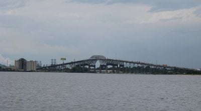
Calcasieu River Bridge

Log in to your account

Start exploring — it's free

Trusted by 86,428 travelers worldwide

Continue with Google
Continue with Apple
or

We will send you a code to connect

By continuing, you accept our Terms and Conditions and our Privacy Policy

Check your inbox

We've sent a pincode in your inbox. Please enter the code below.

Calcasieu River Bridge
Discussion Reviews 1 Photos
22.5k Popularity

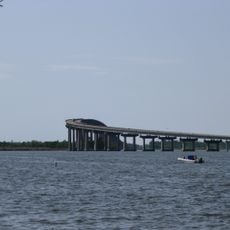
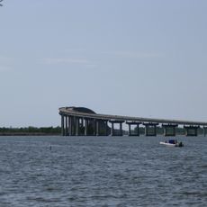
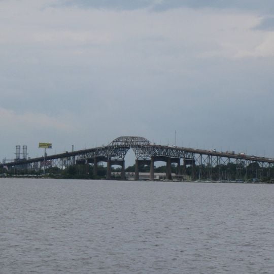
Calcasieu River Bridge, Road bridge on Interstate 10 in Lake Charles, United States.

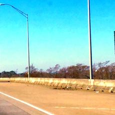
The Calcasieu River Bridge is a road crossing over the river of the same name in Louisiana, part of Interstate 10. Steel trusses rise above the wide waterway, forming a direct connection between both banks.

The crossing was built in 1952 when Louisiana needed new routes for growing automobile traffic. Originally it served U.S. Highway 90 before later integration into the Interstate system.

The crossing links two communities with different characters, Lake Charles being a larger city and Westlake a smaller settlement on the opposite bank. Many residents cross the structure daily for work or shopping, making it a taken-for-granted part of everyday life.

The crossing is accessible only to motor vehicles, as pedestrians and cyclists are no longer permitted since its conversion to an Interstate. Strong winds from the Gulf of Mexico can sometimes affect driving conditions, especially for tall vehicles.

The railings contain decorative elements shaped like crossed rifles, a tribute to World War II veterans. These details go unnoticed by most drivers, as they are difficult to spot at highway speed.

The community of curious travelers

AroundUs brings together thousands of curated places, local tips, and hidden gems, enriched daily by 60,000 contributors worldwide.
Start exploring
Location
Official opening
1952
GPS coordinates
30.23710,-93.24580
Latest update
September 12, 2026 00:08
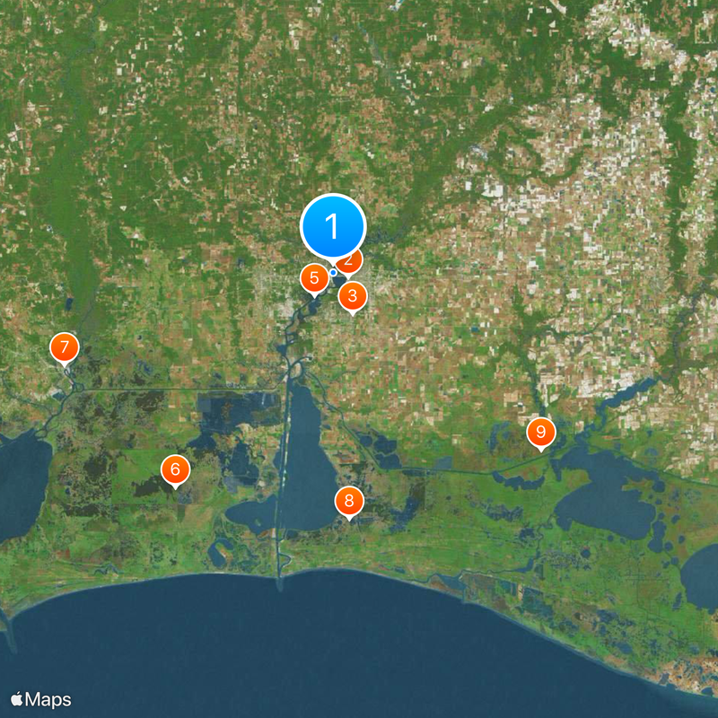
Around this place
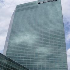
Capital One Tower
United States of America

Capital One Tower

1.6 mi
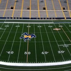
Cowboy Stadium
United States of America

Cowboy Stadium

4.9 mi
Sam Houston Jones State Park
United States of America

Sam Houston Jones State Park

4.6 mi
Israel LaFleur Bridge
United States of America

Israel LaFleur Bridge

3.2 mi
Sabine National Wildlife Refuge
United States of America

Sabine National Wildlife Refuge

29 mi
W. H. Stark House
United States of America

W. H. Stark House

30.9 mi
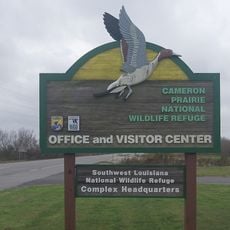
Cameron Prairie National Wildlife Refuge
United States of America

Cameron Prairie National Wildlife Refuge

26.8 mi
Lacassine National Wildlife Refuge
United States of America

Lacassine National Wildlife Refuge

29.8 mi
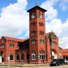
Cathedral of the Immaculate Conception
United States of America

Cathedral of the Immaculate Conception

1.9 mi
Charleston Hotel
United States of America

Charleston Hotel

1.8 mi
Stark Museum of Art
United States of America

Stark Museum of Art

31 mi
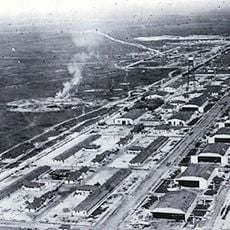
Gerstner Field
United States of America

Gerstner Field

13 mi
Deweyville Swing Bridge
United States of America

Deweyville Swing Bridge

30.1 mi
All Saints Episcopal Church
United States of America

All Saints Episcopal Church

18.5 mi
Hebert House
United States of America

Hebert House

32 mi
Muller's Department Store
United States of America

Muller's Department Store

1.8 mi
Orange County Courthouse
United States of America

Orange County Courthouse

31.1 mi
Jennings Carnegie Public Library
United States of America

Jennings Carnegie Public Library

34.8 mi
Calkins-Orvis House
United States of America

Calkins-Orvis House

25.2 mi
Strand Theatre
United States of America

Strand Theatre

35.2 mi
S.A. Pennington House
United States of America

S.A. Pennington House

36.9 mi
Angelus
United States of America

Angelus

35.3 mi
Holly Beach
United States of America

Holly Beach

34.7 mi
The Children's Museum of Southwest Louisiana
United States of America

The Children's Museum of Southwest Louisiana

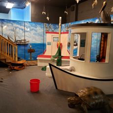
1.1 mi
DeQuincy Railroad Museum
United States of America

DeQuincy Railroad Museum

18.7 mi
North Beach
United States of America

North Beach

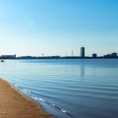
0.5 mi
Hackberry Beach
United States of America

Hackberry Beach

36.7 mi
Interstate 10 Bridge
United States of America

Interstate 10 Bridge

28.3 mi
Show the full map
Reviews
Share your experience

No review yet

Discussions
Start a discussion...

No discussion yet

« Calcasieu River Bridge - Road bridge on Interstate 10 in Lake Charles, United States » is provided by Around Us (aroundus.com). Images and texts are derived from Wikimedia project under a Creative Commons license. You are allowed to copy, distribute, and modify copies of this page, under the conditions set by the license, as long as this note is clearly visible.

Discover hidden gems everywhere you go!

From secret cafés to breathtaking viewpoints, skip the crowded tourist spots and find places that match your style. Our app makes it easy with voice search, smart filtering, route optimization, and insider tips from travelers worldwide. Download now for the complete mobile experience.

Around Us App Screenshot

A unique approach to discovering new places

Le Figaro

All the places worth exploring

France Info

A tailor-made excursion in just a few clicks

20 Minutes

Around Us
Travel Guide & Maps
Download

Send to your phone

QR Code
1

Open the camera app on your mobile.

2

Point at the QR code with your camera. A notification will appear.

3

Tap the notification to open the link.