Enable Location

We need your location to show you interesting places around you

Discover nearby places

Find interesting locations and hidden gems around you

Precise directions

Get accurate directions and distances to places

Your location is never shared with other users. It's only used when you tap the location button.

Catahoula Parish

Log in to your account

Start exploring — it's free

Trusted by 61,814 travelers worldwide

Continue with Google
Continue with Apple
or

We will send you a code to connect

By continuing, you accept our Terms and Conditions and our Privacy Policy

Check your inbox

We've sent a pincode in your inbox. Please enter the code below.

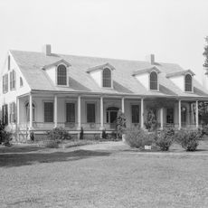
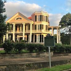
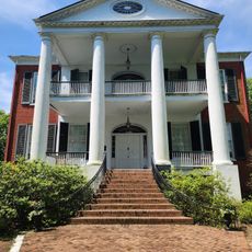
Catahoula Parish, Administrative division in central Louisiana, United States.

Description

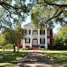
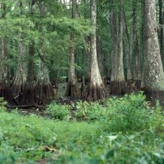
Catahoula Parish is an administrative division in central Louisiana featuring wetlands, forests, and waterways that support diverse wildlife. The landscape is characterized by wetland areas that form a significant part of the local ecosystem.

History

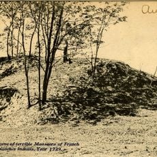
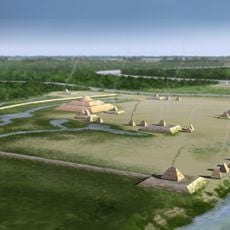
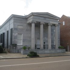
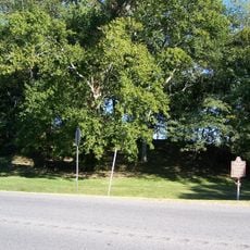
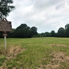
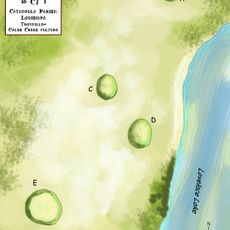
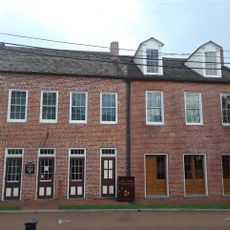
The parish was established in 1808 following the Louisiana Purchase, created from lands previously inhabited by Native Americans. Archaeological remains like the Troyville Earthworks demonstrate the area's long history of human settlement.

Culture

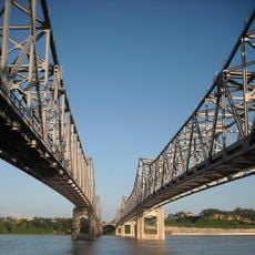
The name comes from a Tensas word referencing the landscape of lakes and waterways that shape the region. This connection to water remains central to how local people relate to their surroundings.

Practical

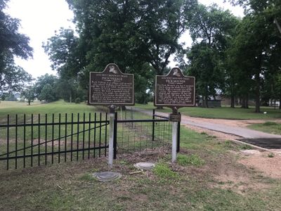
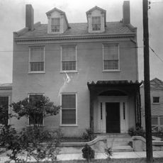
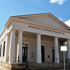
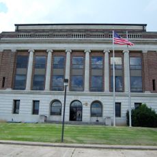
Harrisonburg serves as the administrative center where visitors can find government services including motor vehicle registration and voter information. The county seat provides access to public institutions and school board resources for those needing official matters handled.

Did you know?

The name is closely tied to the Catahoula Leopard Dog breed that originated here, named after the local word for big, clear lake. Few people realize this distinctive dog breed comes from this specific region and carries the place's name forward.

Location
Inception
1808
Capital city
Harrisonburg
Shares border with
Franklin Parish, Avoyelles Parish, Tensas Parish, Concordia Parish, Caldwell Parish, LaSalle Parish
GPS coordinates
31.67000,-91.85000
Latest update
December 7, 2025 19:22

AroundUs brings together thousands of curated places, local tips, and hidden gems, enriched daily by 60,000 contributors worldwide. Discover all places nearby (Louisiana).

Around this place
Fort Rosalie
United States of America

Fort Rosalie

43.5 km
Natchez Bluffs and Under-the-Hill Historic District
United States of America

Natchez Bluffs and Under-the-Hill Historic District

42 km
Natchez–Vidalia Bridge
United States of America

Natchez–Vidalia Bridge

42.7 km
Rosalie Mansion
United States of America

Rosalie Mansion

43.6 km
Troyville Earthworks
United States of America

Troyville Earthworks

5.8 km
Frogmore Plantation
United States of America

Frogmore Plantation

18.9 km
Magnolia Bluffs Casino
United States of America

Magnolia Bluffs Casino

43.7 km
The Briars
United States of America

The Briars

42.9 km
Glenfield Plantation
United States of America

Glenfield Plantation

43.5 km
Bayou Cocodrie National Wildlife Refuge
United States of America

Bayou Cocodrie National Wildlife Refuge

24.5 km
Mamie S. Barrett
United States of America

Mamie S. Barrett

38.5 km
Richmond
United States of America

Richmond

44 km
Commercial Bank and Banker's House
United States of America

Commercial Bank and Banker's House

43.9 km
Frogmore Mound Site
United States of America

Frogmore Mound Site

18.5 km
DePrato Mounds
United States of America

DePrato Mounds

26.4 km
Peck Mounds
United States of America

Peck Mounds

25.6 km
Ravenna
United States of America

Ravenna

44.1 km
William Johnson House
United States of America

William Johnson House

43.9 km
Smith-Bontura-Evans House
United States of America

Smith-Bontura-Evans House

43.8 km
Ravennaside
United States of America

Ravennaside

44 km
Spring Ridge Baptist Church
United States of America

Spring Ridge Baptist Church

21.3 km
Van Court Town House
United States of America

Van Court Town House

43.8 km
Downriver Residential Historic District
United States of America

Downriver Residential Historic District

43.9 km
Concordia Parish Courthouse
United States of America

Concordia Parish Courthouse

41.6 km
Catahoula Parish Courthouse
United States of America

Catahoula Parish Courthouse

11.6 km
Zappe Boarding House
United States of America

Zappe Boarding House

28.5 km
Rosalie Mansion and Gardens
United States of America

Rosalie Mansion and Gardens

43.6 km
Arcade Theater
United States of America

Arcade Theater

29.6 km
Show the full map
« Catahoula Parish - Administrative division in central Louisiana, United States » is provided by Around Us (aroundus.com). Images and texts are derived from Wikimedia project under a Creative Commons license. You are allowed to copy, distribute, and modify copies of this page, under the conditions set by the license, as long as this note is clearly visible.

Discover hidden gems everywhere you go!

From secret cafés to breathtaking viewpoints, skip the crowded tourist spots and find places that match your style. Our app makes it easy with voice search, smart filtering, route optimization, and insider tips from travelers worldwide. Download now for the complete mobile experience.

Around Us App Screenshot

A unique approach to discovering new places

Le Figaro

All the places worth exploring

France Info

A tailor-made excursion in just a few clicks

20 Minutes

Around Us
Travel Guide & Maps
Download

Send to your phone

QR Code
1

Open the camera app on your mobile.

2

Point at the QR code with your camera. A notification will appear.

3

Tap the notification to open the link.