Chest opened
+${chestReward.xp} XP
Explorer
NOUVEAU ×${chestReward.collectible.quantity}
tapez pour fermer

See the monuments around you in AR Open chests in the app

Around Us is built for your phone — point your camera at the streets and discover the monuments and places around you in augmented reality. Around Us is built for your phone — chests unlock when you walk, explore and capture nearby places.

Enable Location

We need your location to show you interesting places around you

Discover nearby places

Find interesting locations and hidden gems around you

Precise directions

Get accurate directions and distances to places

Your location is never shared with other users. It's only used when you tap the location button.

St. Gabriel

Log in to your account

Start exploring — it's free

Trusted by 86,226 travelers worldwide

Continue with Google
Continue with Apple
or

We will send you a code to connect

By continuing, you accept our Terms and Conditions and our Privacy Policy

Check your inbox

We've sent a pincode in your inbox. Please enter the code below.

Discussion Reviews 1 Photos
11.1k Popularity

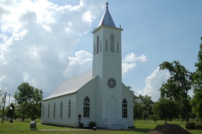
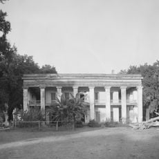
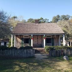
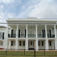
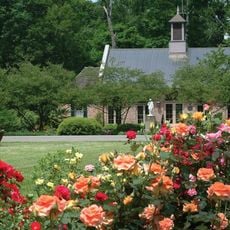
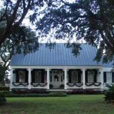
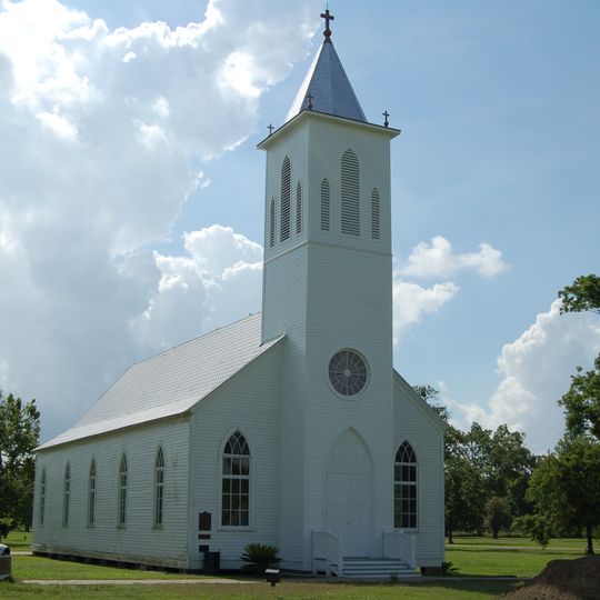
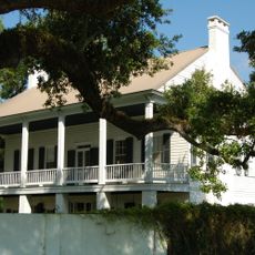
St. Gabriel, Administrative division in Iberville Parish, Louisiana.

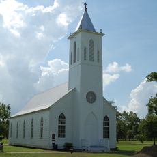
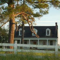
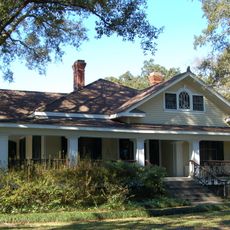
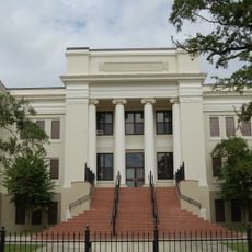
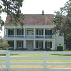
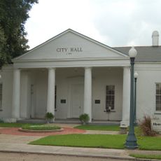
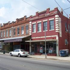
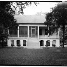
St. Gabriel is an administrative division in Iberville Parish, Louisiana, located along the Mississippi River between Baton Rouge and New Orleans. The community combines residential areas with industrial facilities, creating a mixed-use landscape typical of the region.

The community received its official incorporation as an independent municipality in 2003, establishing self-governance within Iberville Parish. This milestone marked when the area became responsible for its own local affairs and services.

The community reflects a diverse heritage rooted in French Canadian, French, Irish, and German backgrounds that shaped how people live together today. These influences remain visible in local traditions and the way residents interact with their neighborhoods.

The location is easily accessible via major highways that connect it to nearby cities like Baton Rouge and New Orleans. The city hall serves as the main point for administrative services and information about local matters.

The area sits strategically between two major cities yet maintains a quieter pace of life with easy access to urban centers. Visitors find an uncommon blend of rural surroundings and active industry existing side by side.

The community of curious travelers

AroundUs brings together thousands of curated places, local tips, and hidden gems, enriched daily by 60,000 contributors worldwide.
Start exploring
GPS coordinates
30.25154,-91.07424
Latest update
September 12, 2026 00:10
Around this place
Ashland Plantation
United States of America

Ashland Plantation

6.9 mi
LSU Rural Life Museum
United States of America

LSU Rural Life Museum

11.3 mi
Carville Historic District
United States of America

Carville Historic District

4.9 mi
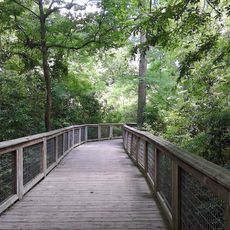
Bluebonnet Swamp Nature Center
United States of America

Bluebonnet Swamp Nature Center

8.3 mi
LSU Hilltop Arboretum
United States of America

LSU Hilltop Arboretum

7.4 mi
Evan Hall
United States of America

Evan Hall

9.4 mi
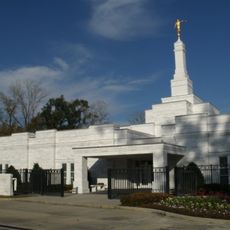
Baton Rouge Louisiana Temple
United States of America

Baton Rouge Louisiana Temple

8 mi
St. Gabriel Roman Catholic Church
United States of America

St. Gabriel Roman Catholic Church

1.7 mi
LSU Honors College
United States of America

LSU Honors College

12.5 mi
Swine Palace
United States of America

Swine Palace

12.5 mi
St. Louis Plantation
United States of America

St. Louis Plantation

8.4 mi
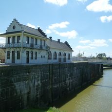
Plaquemine Lock State Historic Site
United States of America

Plaquemine Lock State Historic Site

9.9 mi
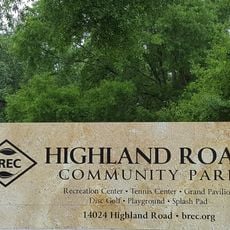
Highland Road Community Park
United States of America

Highland Road Community Park

10.3 mi
Palo Alto Plantation
United States of America

Palo Alto Plantation

11.4 mi
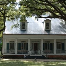
Tally-Ho Plantation House
United States of America

Tally-Ho Plantation House

6.4 mi
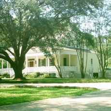
Mount Hope Plantation House
United States of America

Mount Hope Plantation House

9 mi
Audubon Plantation
United States of America

Audubon Plantation

10 mi
Robert Penn Warren House
United States of America

Robert Penn Warren House

7.2 mi
Plaquemine Senior High School
United States of America

Plaquemine Senior High School

10.6 mi
Mulberry Grove
United States of America

Mulberry Grove

4.7 mi
Iberville Parish Courthouse
United States of America

Iberville Parish Courthouse

9.9 mi
Plaquemine Historic District
United States of America

Plaquemine Historic District

10 mi
BREC's Bluebonnet Swamp Nature Center
United States of America

BREC's Bluebonnet Swamp Nature Center

8.4 mi
St. John Baptist Church
United States of America

St. John Baptist Church

7.3 mi
Burden Museum and Gardens
United States of America

Burden Museum and Gardens

11.4 mi
Santa Maria Plantation
United States of America

Santa Maria Plantation

7.2 mi
Lucky Plantation
United States of America

Lucky Plantation

8.2 mi

Show the full map
Reviews
Share your experience

No review yet

Discussions
Start a discussion...

No discussion yet

« St. Gabriel - Administrative division in Iberville Parish, Louisiana » is provided by Around Us (aroundus.com). Images and texts are derived from Wikimedia project under a Creative Commons license. You are allowed to copy, distribute, and modify copies of this page, under the conditions set by the license, as long as this note is clearly visible.

Discover hidden gems everywhere you go!

From secret cafés to breathtaking viewpoints, skip the crowded tourist spots and find places that match your style. Our app makes it easy with voice search, smart filtering, route optimization, and insider tips from travelers worldwide. Download now for the complete mobile experience.
Around Us App Screenshot

A unique approach to discovering new places

Le Figaro

All the places worth exploring

France Info

A tailor-made excursion in just a few clicks

20 Minutes

Around Us
Travel Guide & Maps
Download

Send to your phone

QR Code
1

Open the camera app on your mobile.

2

Point at the QR code with your camera. A notification will appear.

3

Tap the notification to open the link.