Enable Location

We need your location to show you interesting places around you

Discover nearby places

Find interesting locations and hidden gems around you

Precise directions

Get accurate directions and distances to places

Your location is never shared with other users. It's only used when you tap the location button.

Jackson County

Log in to your account

Start exploring — it's free

Trusted by 62,431 travelers worldwide

Continue with Google
Continue with Apple
or

We will send you a code to connect

By continuing, you accept our Terms and Conditions and our Privacy Policy

Check your inbox

We've sent a pincode in your inbox. Please enter the code below.

Jackson County, Administrative division in Michigan, United States

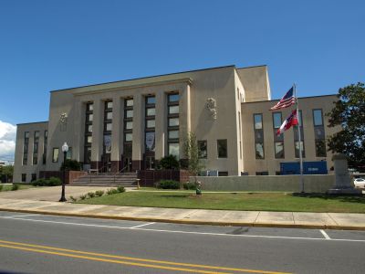
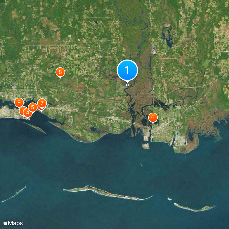
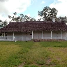
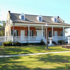
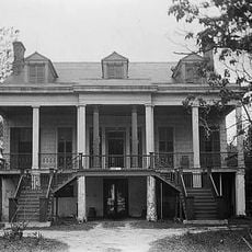
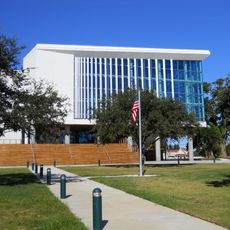
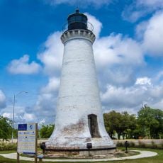
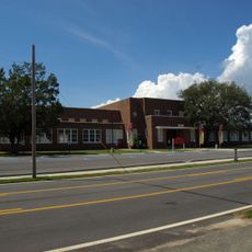
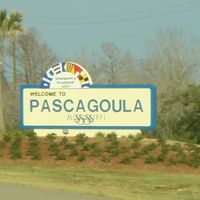
Jackson County is an administrative division in Mississippi encompassing residential neighborhoods, commercial districts, agricultural areas, and natural spaces. The county spans multiple municipalities and communities with varying characteristics and development patterns.

The area was established during early settlement periods and developed into a regional administrative center. It played a role in Mississippi's territorial growth and governance structure over generations.

The Great Lakes Art Fair brings together hundreds of regional artists and craftspeople annually, showcasing paintings, sculptures, and traditional handmade goods.

The county provides residents with online access to property information, payment services, and public records through its government portal. Different municipalities within the county have varying service hours and locations, so checking ahead with your specific area is helpful.

The Genasys Protect ALERT system enables county officials to send immediate notifications about emergencies, weather conditions, and community updates to residents.

The community of curious travelers

AroundUs brings together thousands of curated places, local tips, and hidden gems, enriched daily by 60,000 contributors worldwide.

Start exploring
Location
Inception
December 18, 1812
Capital city
Pascagoula
Shares border with
George County, Mobile County, Harrison County, Stone County
GPS coordinates
30.46000,-88.62000
Latest update
December 20, 2025 12:23
Around this place
Ohr-O'Keefe Museum Of Art
United States of America

Ohr-O'Keefe Museum Of Art

25.3 km
Fort Maurepas
United States of America

Fort Maurepas

21 km
Casino Magic Biloxi
United States of America

Casino Magic Biloxi

24.5 km
Biloxi Bay Bridge
United States of America

Biloxi Bay Bridge

23 km
Old Spanish Fort
United States of America

Old Spanish Fort

10.7 km
Walter Anderson Museum of Art
United States of America

Walter Anderson Museum of Art

20.7 km
United States of America

Mississippi Sandhill Crane National Wildlife Refuge

15.8 km
Old Brick House
United States of America

Old Brick House

25.8 km
Grand Bay National Wildlife Refuge
United States of America

Grand Bay National Wildlife Refuge

19.8 km
Bellevue
United States of America

Bellevue

15.6 km
United States of America

Shepard State Park

9.3 km
Maritime & Seafood Industry Museum
United States of America

Maritime & Seafood Industry Museum

24.1 km
United States of America

Pascagoula River High Rise Bridge

11.2 km
Round Island Light
United States of America

Round Island Light

11.7 km
Old Pascagoula High School
United States of America

Old Pascagoula High School

12.5 km
Pleasant Reed House
United States of America

Pleasant Reed House

25.3 km
Horn Island Light
United States of America

Horn Island Light

29.3 km
Saint John's Episcopal Church
United States of America

Saint John's Episcopal Church

21 km
East Pascagoula River Light
United States of America

East Pascagoula River Light

13.2 km
United States of America

Mississippi Gulf Coast National Heritage Area

23.8 km
Griffin House
United States of America

Griffin House

7.3 km
Gulf Hills
United States of America

Gulf Hills

21.1 km
St. Mary's By the River
United States of America

St. Mary's By the River

9.6 km
Pascagoula Central Fire Station No. 1
United States of America

Pascagoula Central Fire Station No. 1

11.9 km
United States of America

Red Bluff

24 km
United States of America

Frederick Street Park

13 km
United States of America

Sikes Bluff

21.4 km
United States of America

Rubenhouse Bluff

18.9 km
Show the full map
Administrative divisions
« Jackson County - Administrative division in Michigan, United States » is provided by Around Us (aroundus.com). Images and texts are derived from Wikimedia project under a Creative Commons license. You are allowed to copy, distribute, and modify copies of this page, under the conditions set by the license, as long as this note is clearly visible.

Discover hidden gems everywhere you go!

From secret cafés to breathtaking viewpoints, skip the crowded tourist spots and find places that match your style. Our app makes it easy with voice search, smart filtering, route optimization, and insider tips from travelers worldwide. Download now for the complete mobile experience.

Around Us App Screenshot

A unique approach to discovering new places

Le Figaro

All the places worth exploring

France Info

A tailor-made excursion in just a few clicks

20 Minutes

Around Us
Travel Guide & Maps
Download

Send to your phone

QR Code
1

Open the camera app on your mobile.

2

Point at the QR code with your camera. A notification will appear.

3

Tap the notification to open the link.