Chest opened
+${chestReward.xp} XP
Explorer
NOUVEAU ×${chestReward.collectible.quantity}
tapez pour fermer

See the monuments around you in AR Open chests in the app

Around Us is built for your phone — point your camera at the streets and discover the monuments and places around you in augmented reality. Around Us is built for your phone — chests unlock when you walk, explore and capture nearby places.

•

Enable Location

We need your location to show you interesting places around you

Discover nearby places

Find interesting locations and hidden gems around you

Precise directions

Get accurate directions and distances to places

Your location is never shared with other users. It's only used when you tap the location button.

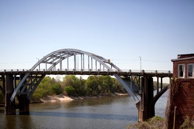
Edmund Pettus Bridge

Log in to your account

Start exploring — it's free

Trusted by 89,791 travelers worldwide

Continue with Google
Continue with Apple
or

We will send you a code to connect

By continuing, you accept our Terms and Conditions and our Privacy Policy

Check your inbox

We've sent a pincode in your inbox. Please enter the code below.

Discussion Reviews 1 Photos
151k Popularity

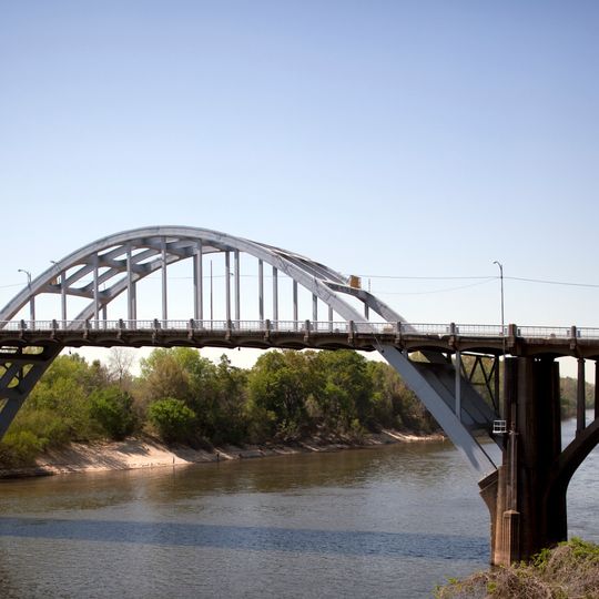
Edmund Pettus Bridge, National Historic Landmark bridge in Selma, United States.

Audio guide · About one minute
Preparing your audio guide… The audio guide could not be loaded, please retry.Sign in to listen to the audio guide

Edmund Pettus Bridge is a steel through-arch bridge that stretches 380 meters (1,248 feet) over the Alabama River, carrying Route 80 between Selma and Montgomery. The structure rises 12.9 meters (42 feet) wide with a distinct curved arch of steel that has crossed the water since 1940.

On March 7, 1965, law enforcement officers attacked 600 demonstrators attempting to march from here to Montgomery, an event remembered as Bloody Sunday. The bridge opened in 1940 and served only traffic for nearly 26 years before becoming a symbol of the fight for voting rights.

Named after a Confederate general, the structure carries a name that remains contested, while the roadway itself has become a place of remembrance for civil rights activism. Each March, thousands of people walk across the pavement to commemorate the events of 1965.

Visitors can cross the bridge on foot or by car and view the river below, with pedestrians walking along narrow areas beside the roadway. The best time to visit is morning or late afternoon when light shows the steel structure well.

The steel structure appears on the national register while remaining an active roadway, which is rare for monuments of this kind. Vehicles roll directly over the same surface where the 1965 confrontation took place.

The community of curious travelers

AroundUs brings together thousands of curated places, local tips, and hidden gems, enriched daily by 60,000 contributors worldwide.
Start exploring
Location
Location
Inception
1940
Official opening
May 25, 1940
Length
380.4 m
Width
12.9 m
GPS coordinates
32.40560,-87.01860
Latest update
September 16, 2026 15:58
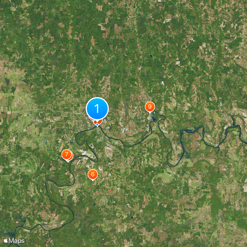
Around this place
Cahaba
United States of America

Cahaba

7.9 mi
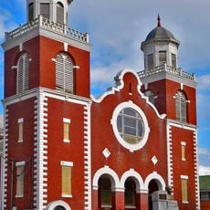
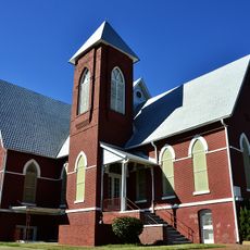
Brown Chapel A.M.E. Church
United States of America

Brown Chapel A.M.E. Church

0.5 mi
National Voting Rights Museum
United States of America

National Voting Rights Museum

360 ft
Sturdivant Hall
United States of America

Sturdivant Hall

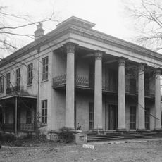
0.8 mi
Cahaba Prison
United States of America

Cahaba Prison

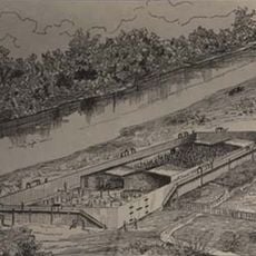
7.7 mi
Live Oak Cemetery
United States of America

Live Oak Cemetery

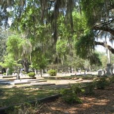
0.8 mi
First Baptist Church
United States of America

First Baptist Church

0.6 mi
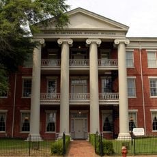
Joseph T. Smitherman Historic Building
United States of America

Joseph T. Smitherman Historic Building

0.4 mi
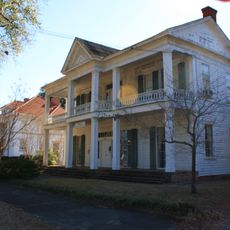
John Tyler Morgan House
United States of America

John Tyler Morgan House

0.8 mi
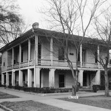
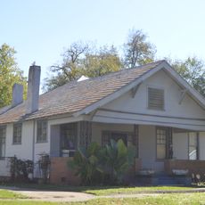
Wesley Plattenburg House
United States of America

Wesley Plattenburg House

0.6 mi
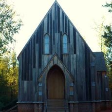
St. Paul's Episcopal Church
United States of America

St. Paul's Episcopal Church

0.3 mi
Old Town Historic District
United States of America

Old Town Historic District

0.5 mi
United States Post Office Building
United States of America

United States Post Office Building

0.2 mi
Marshall's Grove
United States of America

Marshall's Grove

4.2 mi
Valley Creek Presbyterian Church
United States of America

Valley Creek Presbyterian Church

4.5 mi
Marcus Meyer Skinner House
United States of America

Marcus Meyer Skinner House

2.4 mi
Summerfield District
United States of America

Summerfield District

0.1 mi
Water Avenue Historic District
United States of America

Water Avenue Historic District

0.1 mi
Icehouse Historic District
United States of America

Icehouse Historic District

0.8 mi
Riverview Historic District
United States of America

Riverview Historic District

0.7 mi
Sullivan and Richie Jean Jackson House
United States of America

Sullivan and Richie Jean Jackson House

1.2 mi
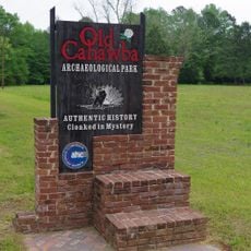
Old Cahawba Archaeological Park
United States of America

Old Cahawba Archaeological Park

7.8 mi
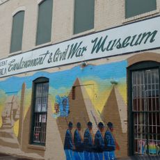
Slavery & Civil War Museum
United States of America

Slavery & Civil War Museum

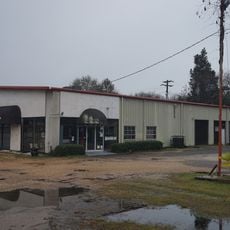
0.2 mi
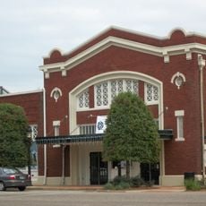
Walton Theatre
United States of America

Walton Theatre

0.2 mi
United States of America

Tabernacle Baptist Church Guided Tours

1 mi
United States of America

Civil Rights Memorial Mural

0.2 mi
United States of America

The Perry County Story

0.2 mi
United States of America

Scenic viewpoint

440 ft
Show the full map
Reviews
Share your experience

No review yet

Discussions
Start a discussion...

No discussion yet

« Edmund Pettus Bridge - National Historic Landmark bridge in Selma, United States » is provided by Around Us (aroundus.com). Images and texts are derived from Wikimedia project under a Creative Commons license. You are allowed to copy, distribute, and modify copies of this page, under the conditions set by the license, as long as this note is clearly visible.

Discover hidden gems everywhere you go!

From secret cafés to breathtaking viewpoints, skip the crowded tourist spots and find places that match your style. Our app makes it easy with voice search, smart filtering, route optimization, and insider tips from travelers worldwide. Download now for the complete mobile experience.

Around Us App Screenshot
❝

A unique approach to discovering new places❞

— Le Figaro

❝

All the places worth exploring❞

— France Info

❝

A tailor-made excursion in just a few clicks❞

— 20 Minutes

Around Us
Travel Guide & Maps
Download

Send to your phone

QR Code
1

Open the camera app on your mobile.

2

Point at the QR code with your camera. A notification will appear.

3

Tap the notification to open the link.