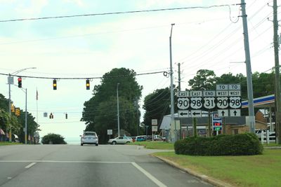
U.S. Route 31, Federal highway from Alabama to Michigan, United States
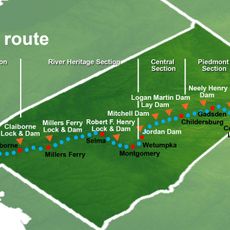
U.S. Route 31 is a federal highway stretching roughly 1,280 miles from Spanish Fort in Alabama to Mackinaw City in Michigan, passing through six states. The road shifts between rural two-lane sections and urban multi-lane expressways, connecting different landscapes and communities along the way.
Route 31 became part of the federal highway system on November 11, 1926, replacing several existing state roads and sections of the Dixie Highway. This connection helped link the economy and commerce between the South and the Great Lakes region.
The road links multiple educational centers and industrial hubs, serving as a vital connection between the Deep South and the Great Lakes region.
Road conditions vary by location, ranging from narrow rural lanes to wide urban corridors with heavy traffic flow. Drivers should be prepared for shifts between different speed zones and traffic patterns.
In Tennessee, the route splits into two parallel branches known as 31W and 31E, each passing through different regions of the state. This division creates two distinct pathways allowing travelers to choose their preferred route through different landscapes.
The community of curious travelers
AroundUs brings together thousands of curated places, local tips, and hidden gems, enriched daily by 60,000 contributors worldwide.