Chest opened
+${chestReward.xp} XP
Explorer
NOUVEAU ×${chestReward.collectible.quantity}
tapez pour fermer

See the monuments around you in AR Open chests in the app

Around Us is built for your phone — point your camera at the streets and discover the monuments and places around you in augmented reality. Around Us is built for your phone — chests unlock when you walk, explore and capture nearby places.

Enable Location

We need your location to show you interesting places around you

Discover nearby places

Find interesting locations and hidden gems around you

Precise directions

Get accurate directions and distances to places

Your location is never shared with other users. It's only used when you tap the location button.

Log in to your account

Start exploring — it's free

Trusted by 87,024 travelers worldwide

Continue with Google
Continue with Apple
or

We will send you a code to connect

By continuing, you accept our Terms and Conditions and our Privacy Policy

Check your inbox

We've sent a pincode in your inbox. Please enter the code below.

Discussion Reviews Photo
14.4k Popularity

WTTO, Television transmitter tower in Tuscaloosa County, Alabama, USA.

WTTO is a broadcasting tower in Tuscaloosa County that transmits television signals across central Alabama. The tall steel structure rises well above the surrounding landscape, with antennas and transmitting equipment mounted at its top.

The tower was built in 1982 and represented a major advancement in television broadcasting for the region. Its completion significantly improved signal coverage for viewers across Tuscaloosa and Birmingham areas.

The tower functions as a central communications hub connecting local communities through television programming and emergency broadcast services.

The tower is visible from the surrounding area and serves as a recognizable landmark in the Tuscaloosa landscape. The red warning lights on top make it easy to spot, especially at night.

The structure ranks among the tallest buildings in Alabama, towering above most natural and human-made features in the area. Its red blinking lights are visible from considerable distances at night and shape the nighttime appearance of the region.

The community of curious travelers

AroundUs brings together thousands of curated places, local tips, and hidden gems, enriched daily by 60,000 contributors worldwide.
Start exploring
Inception
1982
Height
609.6 m
GPS coordinates
33.48091,-87.40083
Latest update
September 12, 2026 00:26
Around this place
Bryant–Denny Stadium
United States of America

Bryant–Denny Stadium

20.8 mi
Bryce Hospital
United States of America

Bryce Hospital

20 mi
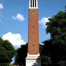
Denny Chimes
United States of America

Denny Chimes

20.6 mi
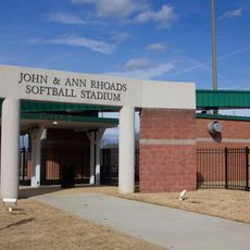
Rhoads Stadium
United States of America

Rhoads Stadium

20 mi
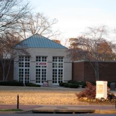
Paul W. Bryant Museum
United States of America

Paul W. Bryant Museum

20.6 mi
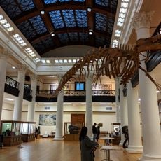
Alabama Museum of Natural History
United States of America

Alabama Museum of Natural History

20.4 mi
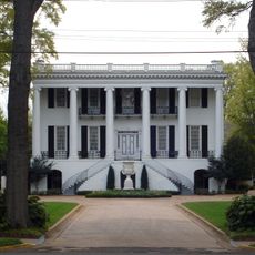
President's Mansion
United States of America

President's Mansion

20.6 mi
Lake Lurleen State Park
United States of America

Lake Lurleen State Park

20.5 mi
Tuscaloosa Amphitheater
United States of America

Tuscaloosa Amphitheater

21.1 mi
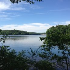
Bankhead Lake
United States of America

Bankhead Lake

3.1 mi
Gorgas–Manly Historic District
United States of America

Gorgas–Manly Historic District

20.4 mi
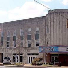
Bama Theatre
United States of America

Bama Theatre

21.2 mi
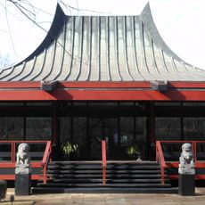
Tuscaloosa Museum of Art
United States of America

Tuscaloosa Museum of Art

14.3 mi
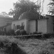
Old University of Alabama Observatory
United States of America

Old University of Alabama Observatory

20.6 mi
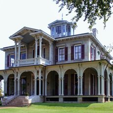
Jemison-Van de Graaff Mansion
United States of America

Jemison-Van de Graaff Mansion

21.5 mi
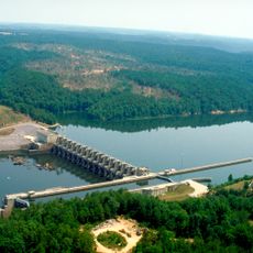
Holt Lock and Dam
United States of America

Holt Lock and Dam

15.9 mi
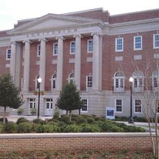
Foster Auditorium
United States of America

Foster Auditorium

20.6 mi
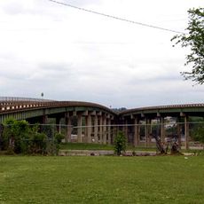
Paul Bryant Bridge
United States of America

Paul Bryant Bridge

17.6 mi
Hugh R. Thomas Bridge
United States of America

Hugh R. Thomas Bridge

21 mi
Queen City Pool and Pool House
United States of America

Queen City Pool and Pool House

20.7 mi
Battle-Friedman House
United States of America

Battle-Friedman House

21.4 mi
Lake Lurleen
United States of America

Lake Lurleen

20.6 mi
Stephenson House
United States of America

Stephenson House

16.2 mi
City National Bank
United States of America

City National Bank

21.1 mi
Guild-Verner House
United States of America

Guild-Verner House

20.8 mi
Collier-Overby House
United States of America

Collier-Overby House

21.1 mi
Northport Historic District
United States of America

Northport Historic District

20.9 mi
Capitol Park
United States of America

Capitol Park

21.4 mi
Show the full map
Reviews
Share your experience

No review yet

Discussions
Start a discussion...

No discussion yet

« WTTO - Television transmitter tower in Tuscaloosa County, Alabama, USA » is provided by Around Us (aroundus.com). Images and texts are derived from Wikimedia project under a Creative Commons license. You are allowed to copy, distribute, and modify copies of this page, under the conditions set by the license, as long as this note is clearly visible.

Discover hidden gems everywhere you go!

From secret cafés to breathtaking viewpoints, skip the crowded tourist spots and find places that match your style. Our app makes it easy with voice search, smart filtering, route optimization, and insider tips from travelers worldwide. Download now for the complete mobile experience.
Around Us App Screenshot

A unique approach to discovering new places

Le Figaro

All the places worth exploring

France Info

A tailor-made excursion in just a few clicks

20 Minutes

Around Us
Travel Guide & Maps
Download

Send to your phone

QR Code
1

Open the camera app on your mobile.

2

Point at the QR code with your camera. A notification will appear.

3

Tap the notification to open the link.